Elevation: 5,368 ft
Prominence: 398
This peak is not in the book. Published November 2021
Laidlaw Butte is located due south of Laidlaw Park in the Craters of the Moon National Monument. It has an impressive north face with an equally-impressive crater. The summit is located at the northwest corner of the crater rim. This hike covers 7.0 miles with 450 feet of elevation gain round trip. USGS Laidlaw Butte
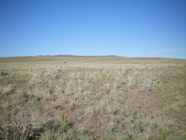
Laidlaw Butte as viewed from the departure point from the 2-track road to its northeast. The summit is the bump right of center. See the cows? Livingston Douglas Photo
Access
From US-20 east of Carey, turn right/south onto [signed] North Laidlaw Road. This junction is 0.2 miles west of Fish Creek Road, which is well-signed. Drive south on North Laidlaw Road for 1.2 miles to an unsigned “T” junction. This is Laidlaw Park Road. It can also be approached directly from farther west on US-20 and the road quality should be fine. Turn left/southeast onto Laidlaw Park Road and drive 12.1 miles to reach an unsigned junction in Laidlaw Park (5,003 feet on the USGS map). Park at this junction.
Northeast Face, Class 2
The Climb
From the road junction, hike south on an old 2-track road (shown on the USGS map). After passing two cattle cisterns, the 2-track quickly fades and becomes a cattle trail. The old 2-track does re-emerge at times. Just keep heading south at the visible summit using either the 2-track or a cattle trail to expedite your journey through the endless sagebrush.
When you reach about 5,100 feet on the northeast side of Laidlaw Butte, leave the 2-track (which is quite visible here) and head southwest across gapped sagebrush, avoiding cow pies as necessary. The summit is at the far right/west end of the crater rim and the tall summit cairn is visible from a long distance. After crossing a field of easy scrub, climb up onto the rocky crater rim and follow it a short distance west then southwest to reach the cairned summit. There is a large crater to the southeast of the summit high point.
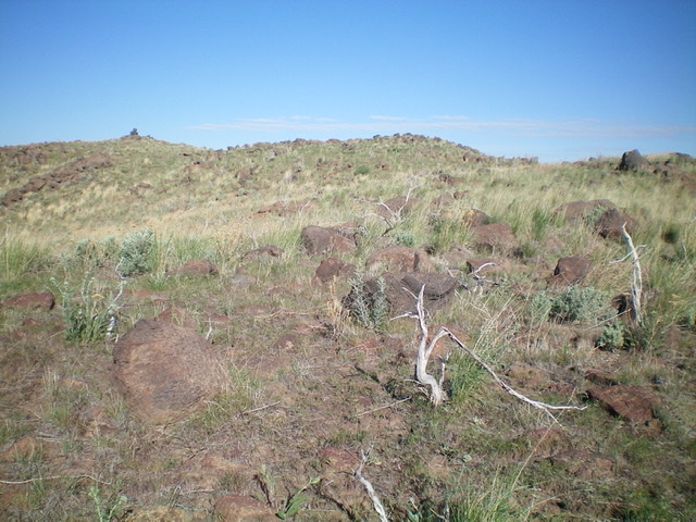
The final crater-rim push to the summit of Laidlaw Butte. Livingston Douglas Photo
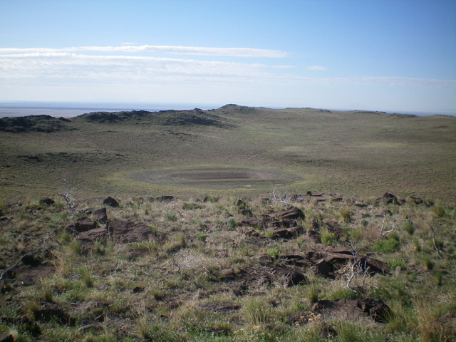
The crater to the southeast of the summit of Laidlaw Butte. Livingston Douglas Photo
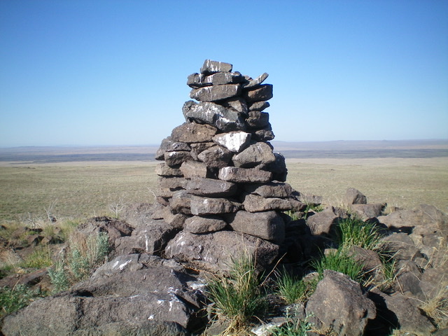
The tall cairn atop Laidlaw Butte. Livingston Douglas Photo
Additional Resources