Elevation: 8,837 ft
Prominence: 657

Climbing and access information for this peak is on Page 123 of the book.
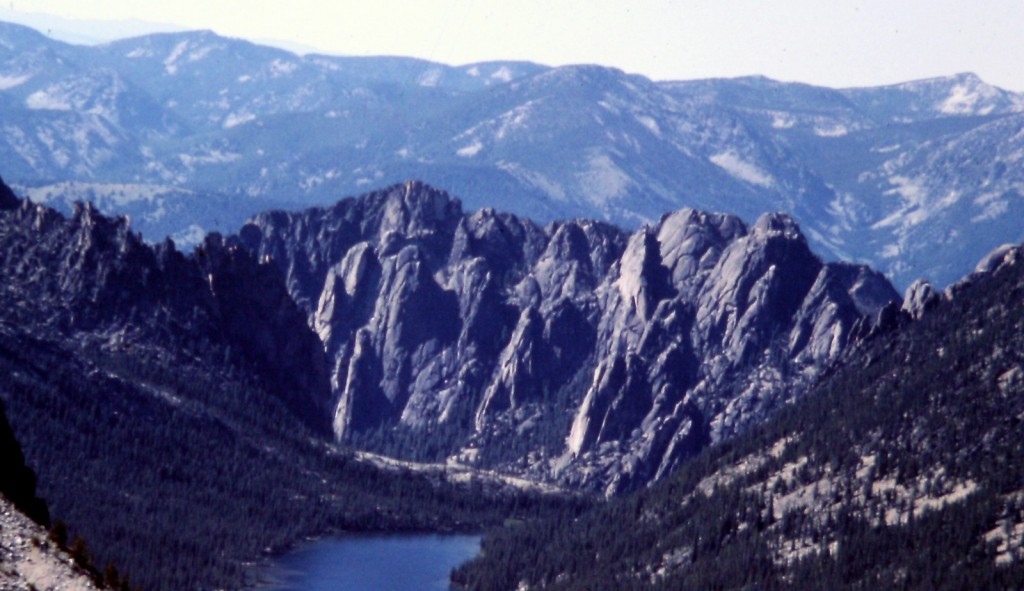
Litner Peak is the highest point in the Litner Group. It is located at the west end of Ship Island Lake [FST-030 (H)(4.1.1.1) (a.2.1) on Page 144]. Little is known about the route. The first ascent was by L. Hales and P. Schoening in 1955. As you will see from the two photos below, the Litner Group should be a rock climbers’ paradise. The fact that it is not rests solely on its distance from civilization. Just getting to the trailhead takes hours. Once you are at the trailhead, it demands more than 10 miles of walking to reach the beginning of the Litner granite. Please let me know if you visit the area. USGS Aggipah Mountain
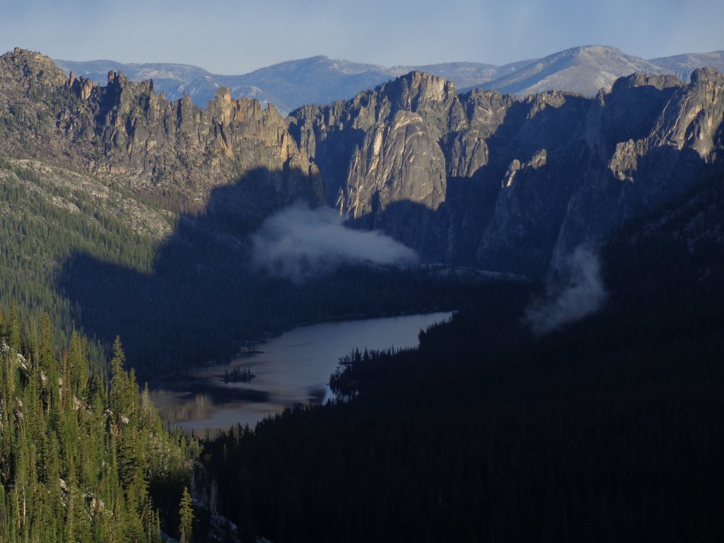
This photo shows good details of the Litner formations and peaks. It also shows the ragged ridge on the South Side of the canyon. Jay Krajic Photo
The Litner Group is an enticing group of granite formations. I have never met a climber who has visited the area.
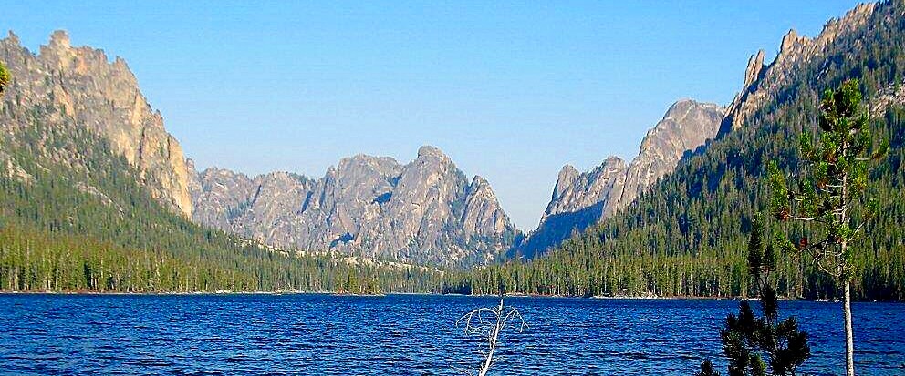
A lake level view of the Litner Group. USFS Photo
Additional Resources
Mountain Range: Eastern Salmon River Mountains
First Ascent Information:
- First Ascent Year: 1955
- Season: Spring
- Route: Unknown
- Party: Pete Schoening and Lincoln Hales
Longitude: -114.64689 Latitude: 45.18519