Elevation: 3,790 ft
Prominence: 320

This peak is not in the book.
Lockman Butte is located north of Mountain Home, Idaho. Access this butte from Canyon Creek Road [(D)(1)] on Page 154]. USGS Mountain Home North
Follow Canyon Creek Road north across I-84. Soon after the pavement ends, the road crosses a bridge over a canal, which is a diversion from Canyon Creek. At 0.4 miles after the bridge crossing, a two-track road leaves Canyon Creek Road. Follow this two-track road to the edge of Canyon Creek. The creek is housed in an abrupt canyon cut through basalt. It is not too difficult to find a Class 3 route down to the creek and up the other side. The difficulty is crossing Canyon Creek, which flows fast and deep at this point.
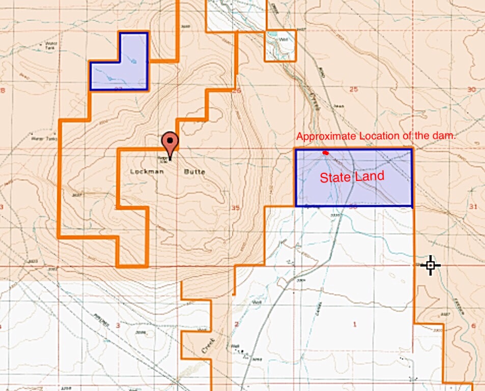
There is a small diversion dam at the South End of the canyon which would be the easiest way to cross the creek. It appears that the dam is on State-owned land. However, this piece of land is connected to private land and there is no fence between the two sections of land. See the map below, which shows the most recent land ownership pattern that I can find. There are no “No Trespassing” signs in this area. However you get across the creek, you must climb the basalt cliffs on the other side. These are Class 3 routes. Once above the creek, it is an easy ascent through the sagebrush to the summit, where you will find a USGS benchmark.

A map of Lockman Butte showing land ownership.
An alternative route is to follow Canyon Creek Road north until it forks. Take the left fork, cross Canyon Creek and drive up the hill. Just after the private property ends, a two-track road leaves the main road. This rough road can be followed south to Lockman Butte.

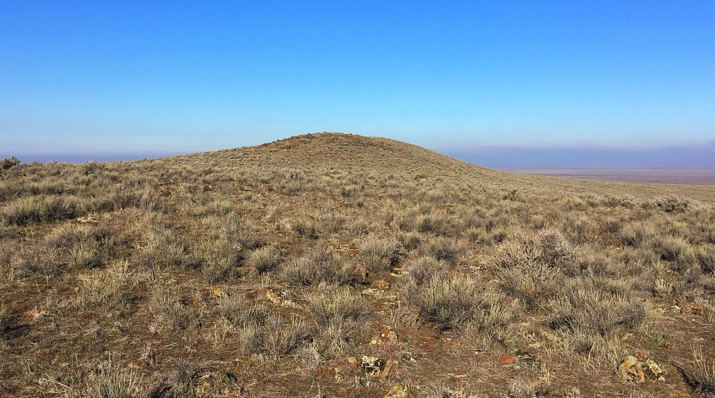
The summit of Lockman Butte.

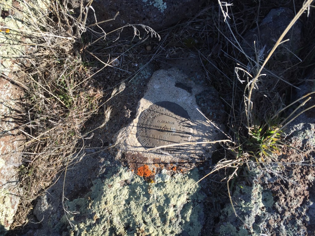
The USGS benchmark atop the summit of Lockman Butte.
Additional Resources
Regions: SNAKE RIVER PLAIN
Mountain Range: Snake River Plain
Year Climbed: 2016
Longitude: -115.71849 Latitude: 43.21219