Elevation: 9,658 ft
Prominence: 2,640
Climbing and access information for this peak is on Page 232 of the book. Updated June 2022
Lone Pine Peak is a big, isolated peak seldom visited by climbers. It is a great destination. You are likely to see wild horses roaming this country. USGS Lone Pine Peak
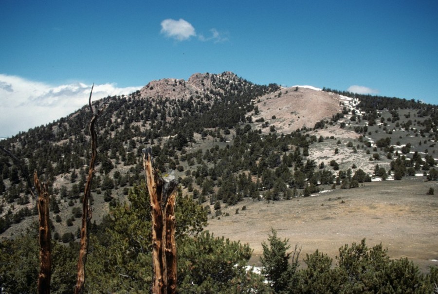
Lone Pine Peak as viewed from the south.
Access
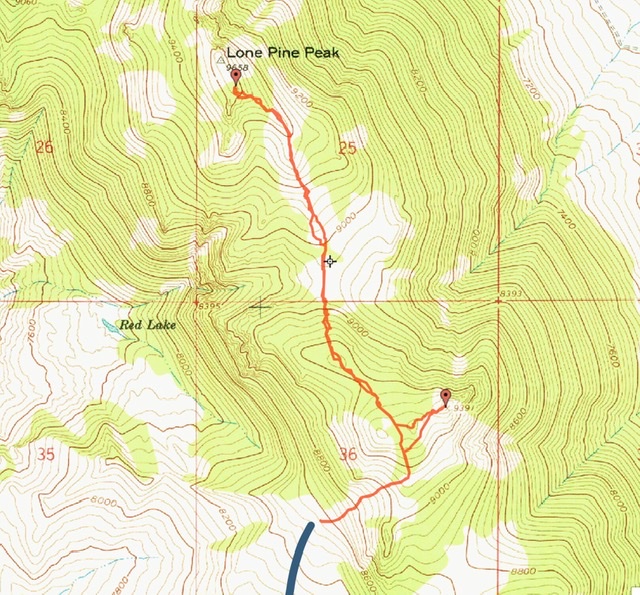
Primary access is from Bradshaw Basin to the south. [(D)(1) on Page 243] Bradshaw Basin is reached via the Spar Canyon Road. This road is the primary access for the Northern Boulder Mountain peaks. [(D)(1) page 243] The Spar Canyon Road can be accessed from US-93 in the east or the East Fork Salmon River Road in the west. The road is maintained except during the winter. It is subject to occasional flash floods and can be difficult to drive when wet. All of the side roads departing from the Spar Canyon Road require high clearance vehicles and 4WDs are recommended.
To reach the 4WD road that leads to Peak 7794 from US-93 follow the Spar Canyon Road west for 7.0 miles to the junction for the Bradshaw Basin Road. To reach this junction from the west follow the East Fork Salmon River Road south from ID-75 for 4.1 miles, turn left/east and follow the Spar Canyon Road east for 7.7 miles. Follow the Bradshaw Basin Road north for 0.9 miles. Turn right onto the road that heads northeast. The 4WD/ATV road that climbs from the Bradshaw Basin Road to the south side of Peak 9391 is not for the faint of heart. I advise stopping at the point shown on the map below. [(D)(1) Page 243] Rather than driving to the track’s end, find a safe place to park and start your ascent at that point.
South Slopes, Class 2
From your parking spot, hike up the track to the crest south of the summit of South Lone Pine Peak. Once on the crest cross over South Lone Pine Peak. (It’s a short detour to reach that peak’s summit). Drop in the saddle between the two peaks and continue north the summit.
Brian Kalet’s GPS track. Use the link below to see his trip report.
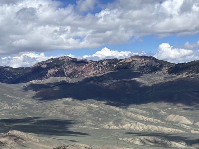
The Lone Pine Peak Massive viewed from the southwest. Okay
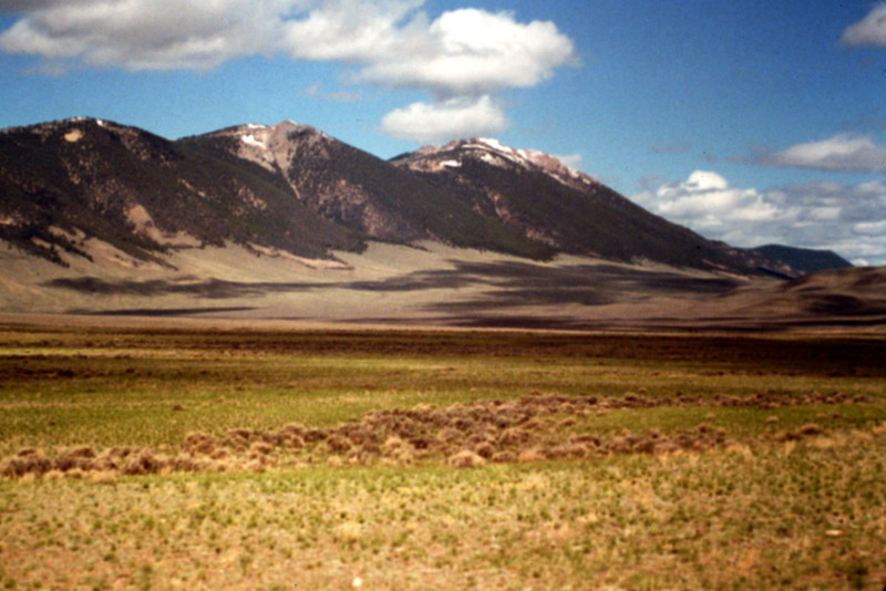
Lone Pine Peak as viewed from US-93.
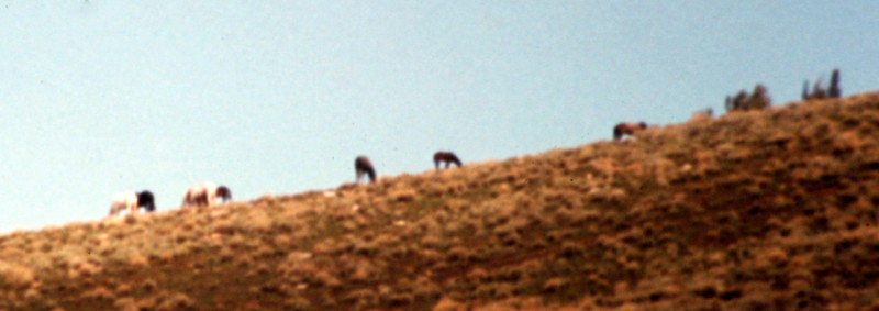
Wild horses on Lone Pine Peak’s lower slopes.
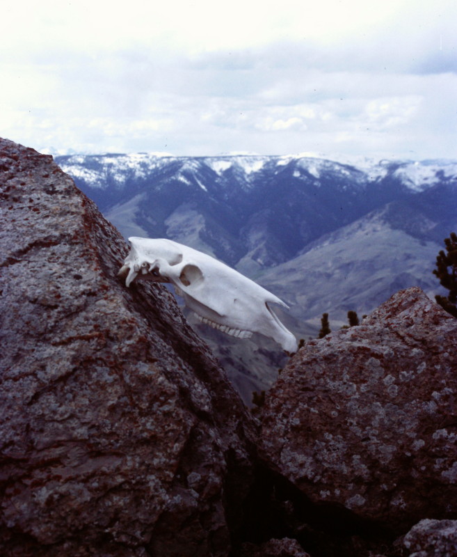
Someone propped this skull up on the peak’s summit block.
Lone Pine Peak’s isolation from the remaining Boulder Peaks is illustrated in this photo from Anderson Peak.
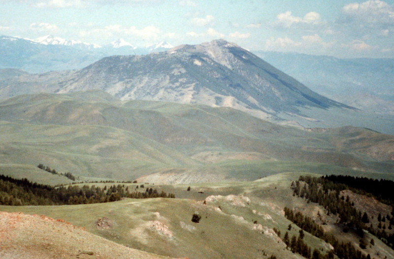
The Pahsimeroi Subrange of the Lost River Range as viewed from the summit of Lone Pine Peak.
Additional Resources