Elevation: 7,336 ft
Prominence: 76
This peak is not in the book. Published December 2020
Lone Pine Ridge is one of many named ridges in this area of the Caribou Range. There is a jeep/ATV road (FSR-017) that crosses Lone Pine Ridge just over 0.3 miles from the summit high point. To make it a more meaningful endeavor, combine this hike with a climb of Commissary Ridge (7,726 feet) and nearby Peak 7466 which are also located along FSR-017. The northwest ridge of Lone Pine Ridge is an easy bushwhack to the top from FSR-017. USGS Commissary Ridge
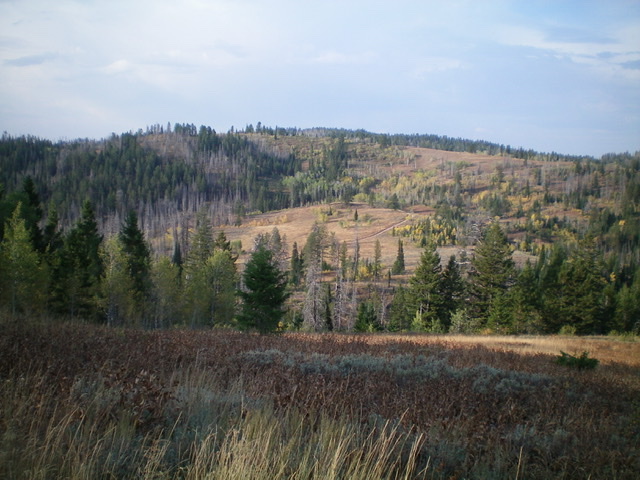
Lone Pine Ridge (mid-ground) as viewed from the northeast. The summit is left of center. Livingston Douglas Photo
Access
From US-26 north of Swan Valley, ID, turn right/south at a signed junction just before a bridge crossing of the Snake River a few miles west of the junction of US-26 and ID-31 in Swan Valley. This junction is signed for the Snake River Road and “Fall Creek Road 1 mile.” Drive 1.2 miles south on Snake River Road as it follows the west side of the Snake River and reaches a signed junction with Fall Creek Road/FSR-077. Turn right/west on Fall Creek Road and drive 13.8 miles west to a signed “T” junction with FSR-075/Skyline Road. Turn left/south and drive 10.8 miles southeast on Skyline Road to a signed junction with FSR-017 (left/east turn). Park at this junction (7,280 feet) or drive up the rugged jeep road as far as you wish. The road is best suited for ATVs and MCs.
Northwest Ridge, Class 2
The Climb
Hike (or drive) east then northeast on FSR-017 for just over 1.5 miles to cross the northwest ridge of Lone Pine Ridge. You can leave FSR-017 about 0.1 mile sooner and follow an ATV spur road up to the ridge to save a bit of effort. Please note that this spur road soon ends. It does NOT lead to the summit of Lone Pine Ridge as the USGS topo map shows. Bushwhack up the northwest ridge from the road (or from the end of the ATV spur road).
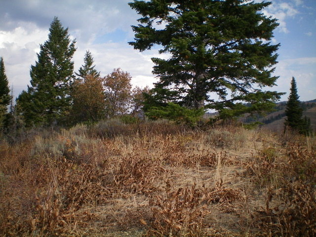
The terrain is THICK willows and brush but, thankfully, there are use/game trails to help mitigate some of this torture. Stay close to the ridge crest to reach the semi-open summit. A pine tree is the high point. Is that ironic or what? There is no summit cairn. There is an ATV trail that heads southeast along the ridge crest from the high point, though I didn’t see any trail coming up to the high point from FSR-017.
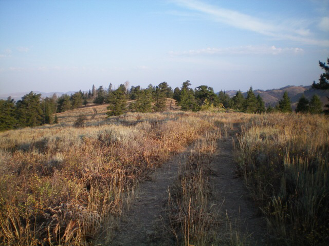
The “lone pine” that is the high point of Lone Pine Ridge. Livingston Douglas Photo
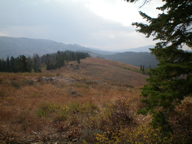
Looking southeast along the crest of Lone Pine Ridge from the summit. Livingston Douglas Photo
Additional Resources
Regions: Caribou Range->SOUTHERN IDAHO
Mountain Range: Caribou Range
Longitude: -111.42049 Latitude: 43.26401