Elevation: 5,678 ft
Prominence: 858

This peak is not in the book. Erik Pohlmann provided the original description of this interesting peak and the route information found immediately below. I added an additional, less difficult, route with a more direct approach at the bottom of the page as well as additional photos and a map. Additional Danskin Mountains access information can be found in the book [(D)(1) on Pages 154-155 and (G)(1) on Page 156]. Also see the following website page: Danskin Mountains OHV Trails. Updated October 2019
Erik’s Routes
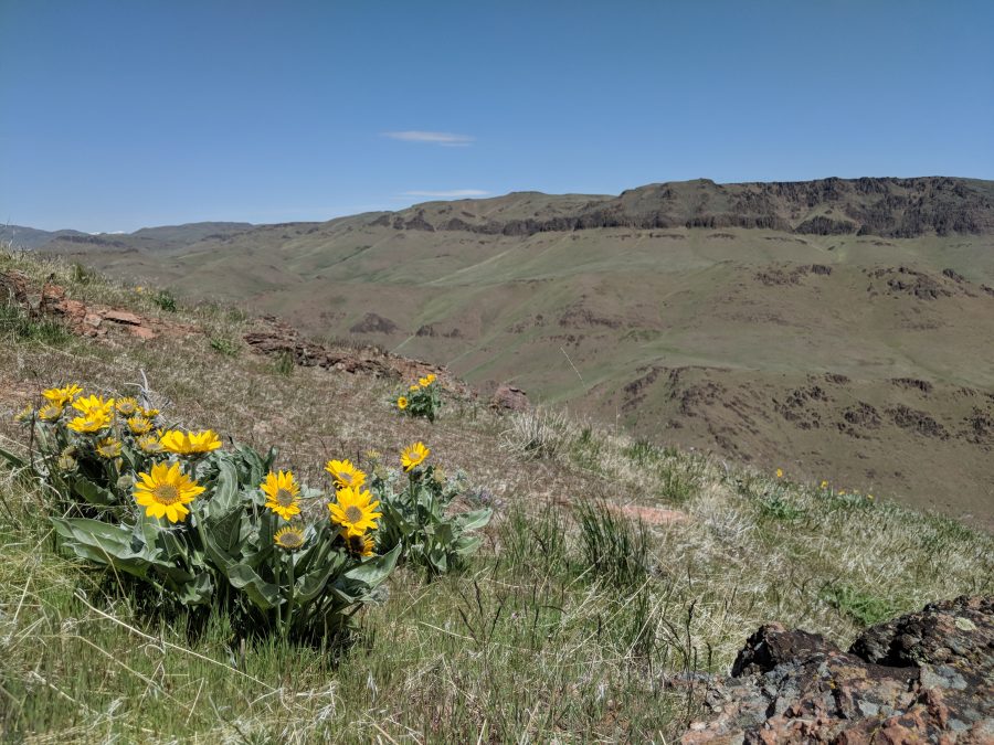
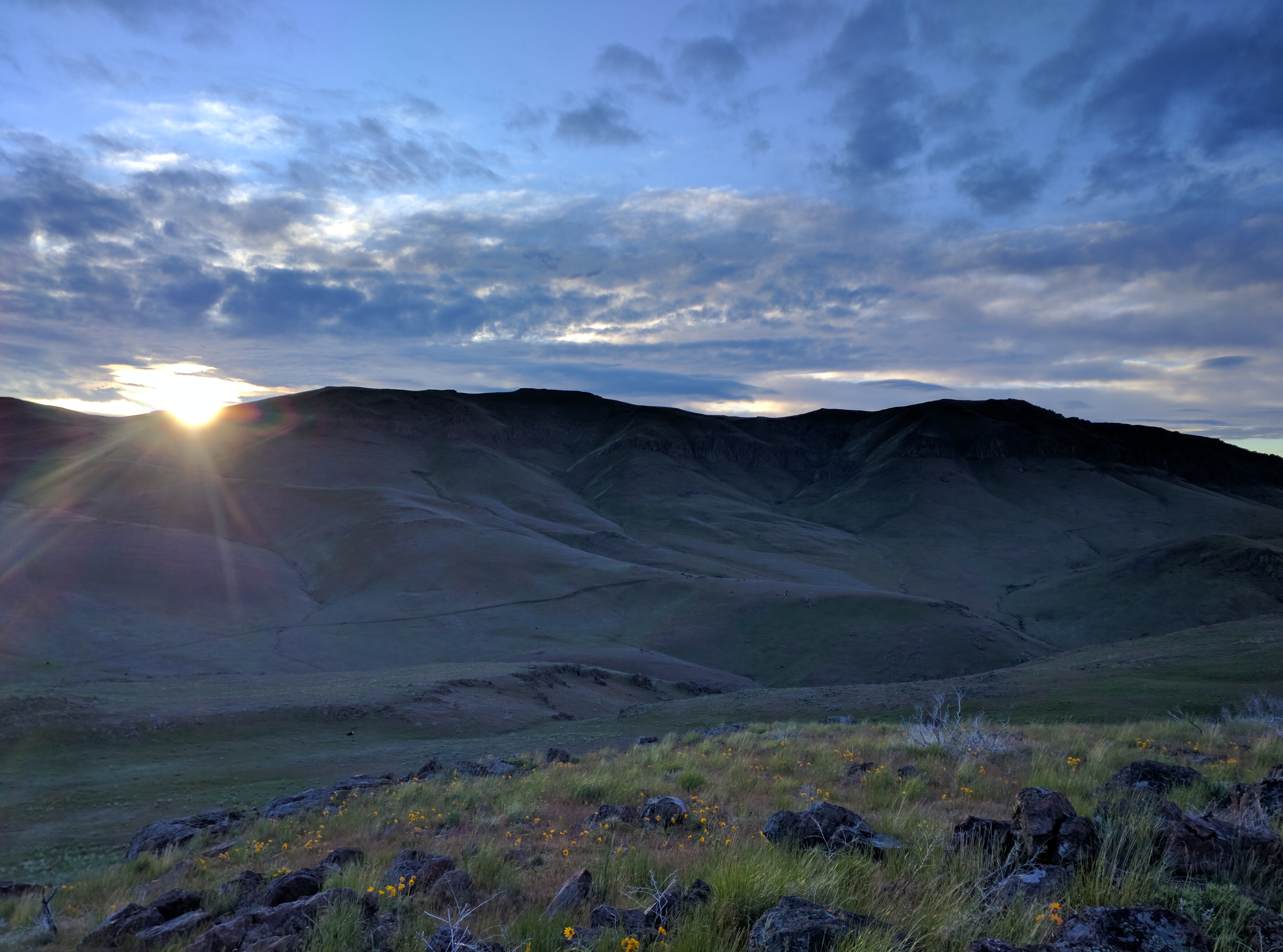
Ascending Big Bluff.
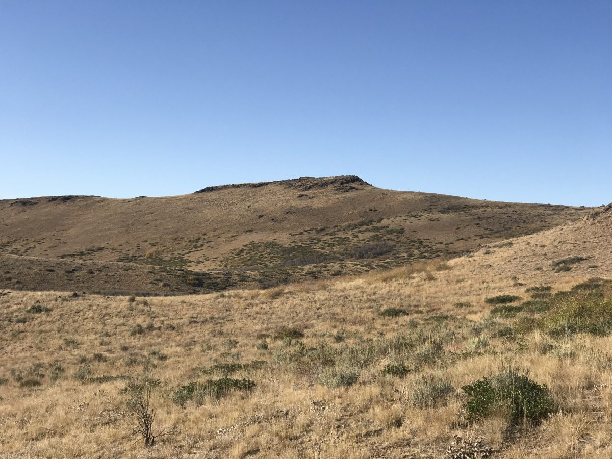
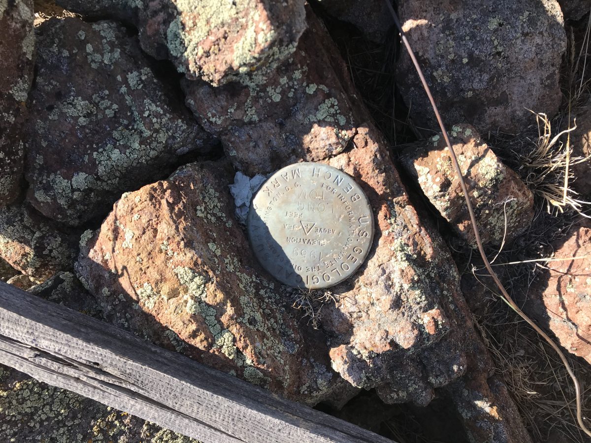
Long Tom Benchmark as viewed from across Long Tom Canyon.
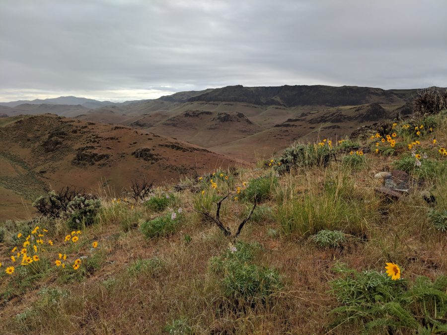
Another view of Long Tom Benchmark from across Long Tom Canyon.
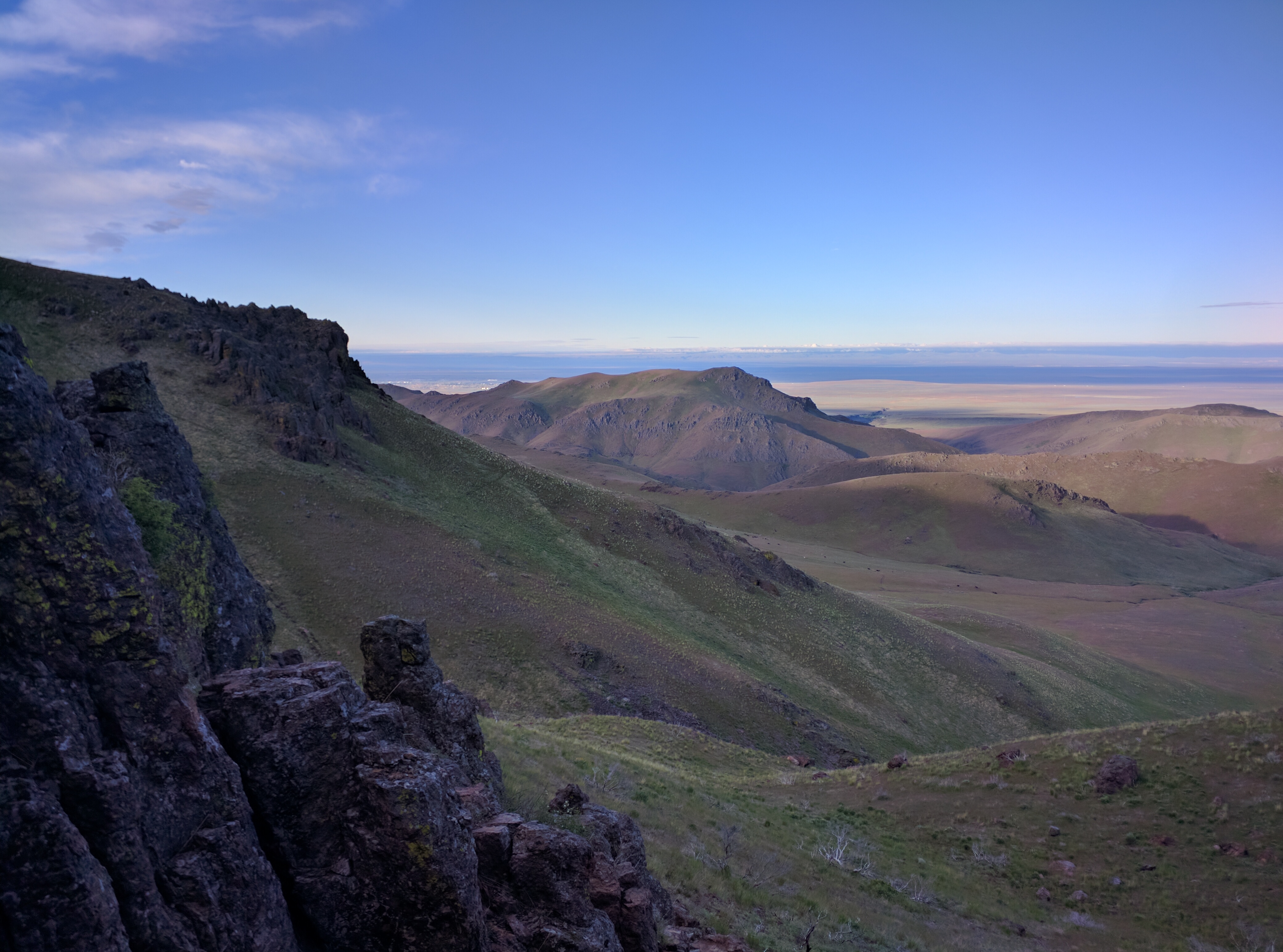
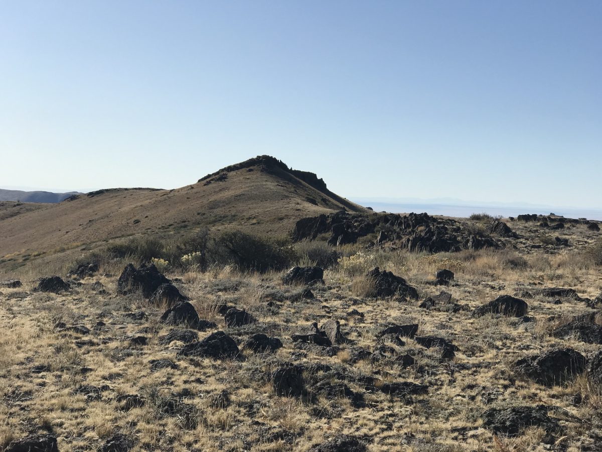
Big Bluff is on the right.
Big Bluff as viewed from the west.
East Approach and Northeast Ridge Route
The east approach starts just east of Long Tom Reservoir. From US-20, turn onto Pony Creek Road/Prairie Road/FS-131 [(E)(1) on Page 155]. Follow this maintained gravel road north for 3.6 miles across a pass and descend into the Pony Creek drainage. There is a wide turnout at this point.
The road leading to the reservoir and toward the peak departs from this spot. The road is undeniably a 4WD road. It immediately fords Pony Creek and then runs west to the north side of the reservoir. The road fords Willowdale Creek and then works it way up the east escarpment of Long Tom Benchmark. The reservoir and the Willowdale Creek bottom are privately owned. There are no fences or signs, so it appears that there is a public easement across the private land.
The road is difficult, narrow and has several rock steps that can eat tires. Although not shown on the Forest Service topo, the road continues all the way to the peak’s Northeast Ridge passing through two fences along the way. Once on the Northeast Ridge, follow it southwest to the summit. The one-way distance from FS-131 to the summit is 5.5 miles with 1,658 feet of elevation gain and 430 feet of elevation loss. Of course, the farther you drive, the shorter your hike.
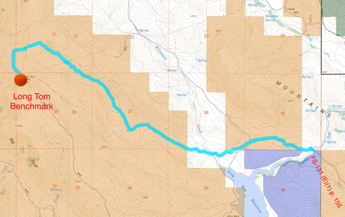
My GPS track from FS-131 to the summit. We drove the first 4 miles and hiked the remainder.
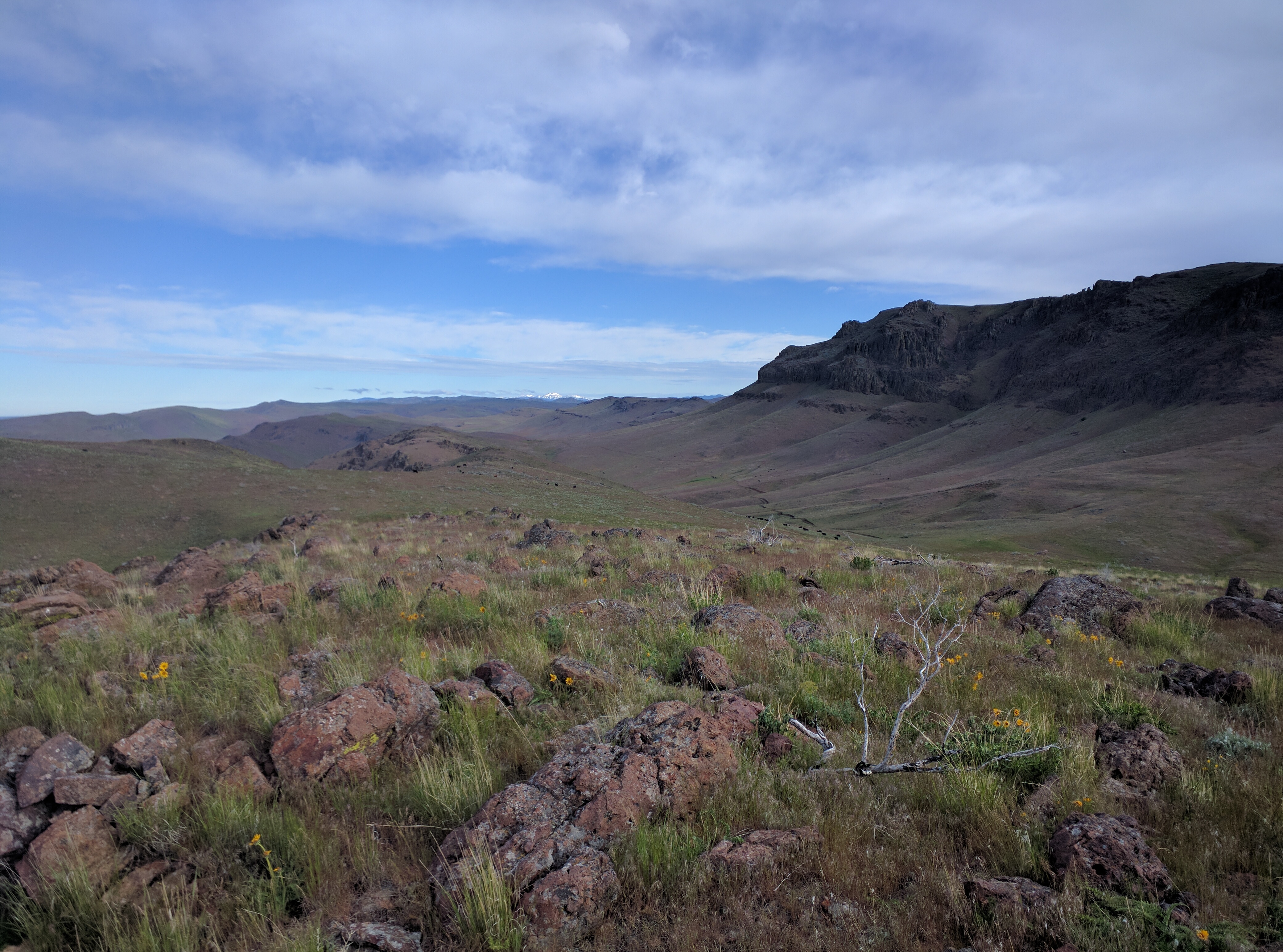
The summit as viewed from the east.
The summit as viewed from the Northeast Ridge.
Additional Resources
Regions: Boise Mountains->Danskin Mountains->WESTERN IDAHO
Mountain Range: Boise Mountains
Year Climbed: 2019
Longitude: -115.63729 Latitude: 43.31269