Elevation: 9,766 ft
Prominence: 986

This peak is not in the book.
Marshall Peak is located in an area where the Boise Mountains, the Sawtooth Range and the Smoky Mountains merge. It is considered to be part of the Smoky Mountains. The peak rises steeply out of the upper reaches of the South Fork Boise River and is just north of Paradise Peak. It is a seldom-visited summit is and is an excellent vantage point for viewing a huge chunk of Idaho backcountry. USGS Marshall Peak
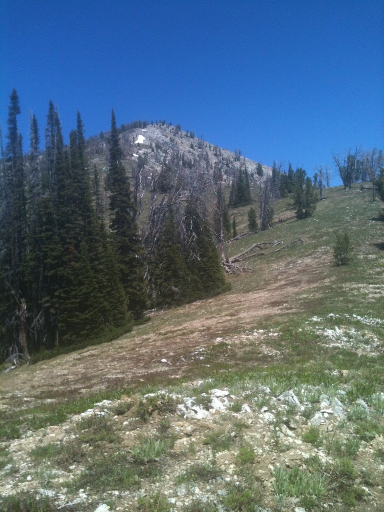
The final stretch to the summit.
Access
The most direct route is from the South Fork Boise River [(E)(2.1) on Page 155]. As of 2013, the road deteriorated after Bear Creek enters the South Fork. There were good campsites in this area. Unless the road has been improved recently, this is where your climb will begin.
Western Slopes/West Ridge, Class 2
From your parking spot, follow the South Fork road north, crossing Emma Creek. The road climbs up Emma Creek (ignore the ATV trails) and away from the South Fork heading toward a 6,800-foot saddle. As you approach the saddle, look for a good spot to leave the road and start up the peak’s West Slopes. These slopes eventually narrow down and form the West Ridge. Follow the ridge to the summit. Depending upon your starting point, you may have up to 3,800 feet of elevation gain. This is a steep but rewarding climb.
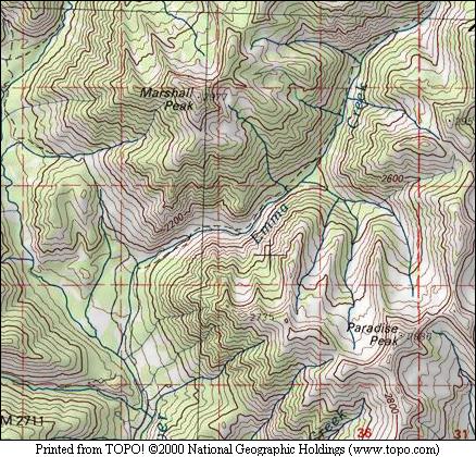
Map of Marshall Peak.
Additional Resources