Elevation: 10,793 ft
Prominence: 1,515
Climbing and access information for this peak is on Page 299 of the book. The route information set out below replaces the information in the book. Updated September 2020
Mill Mountain is located east of the main Northern Lemhi Range Crest and is paired with Peak 10470 (Little Mill Mountain) on a long curving ridge line. The book describes the route up the peak’s Southeast Ridge as climbed by Rick Baugher. This ridge can be accessed from Mill Creek and the East Fork Hayden Creek. USGS Mogg Mountain
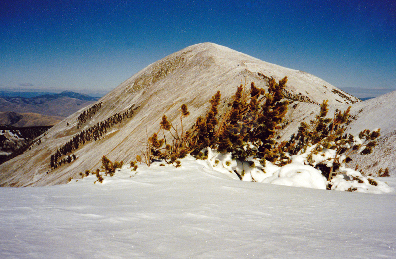
Looking north to Mill Mountain. Little Mill Mountain is just off the photo on the right side. Rick Baugher Photo
Access
Drive to Mill Lake via Mill Creek Road FS-010 and FS 006 [(A)(9.2) Page 315]. The last five miles of this road are narrow, rocky and rough, a high clearance with 4WD Low is recommended]. Google Maps will give you accurate directions. The road to Mill Lake is also on the Avenza app for Forest Service road maps. It will take an hour to negotiate the last five miles.
Southeast Ridge, Class 2+
From the north end of the dam, take the Mill Lake/East Fork Hayden Creek Trail, FST-181 [(A)(9.2) Page 315] to the col above the lake in 0.6 miles and 650 feet of elevation gain. This trail was maintained in 2020. From the col follow the southwest ridge of Little Mill Mountain to that peak’s summit. This ridge has a series of knobs that can be crossed either on the ridge top or the north side of the ridge. Descend northwest off of the summit of Little Mill to the saddle between the two peaks and then ascend Mill Mountain’s southeast ridge. Round trip from the lake is 6.1 miles with 2,600 feet of elevation gain.
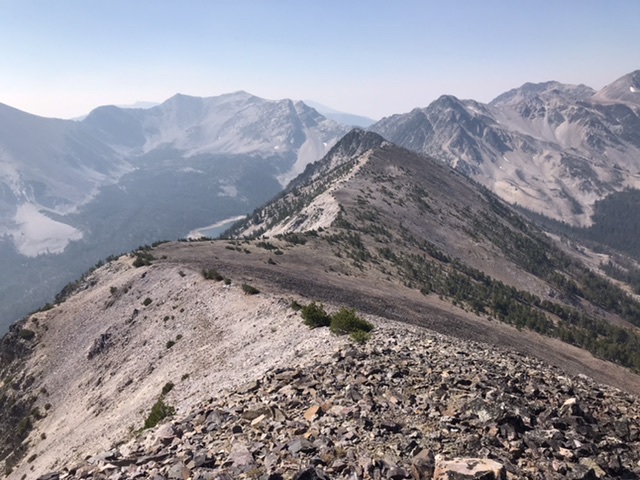
Looking down the southwest ridge of Little Mill Mountain from the summit.
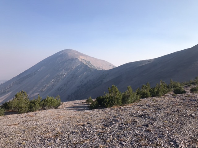
Mill Mountain on the left and the ridge running between it and Little Mill Mountain.
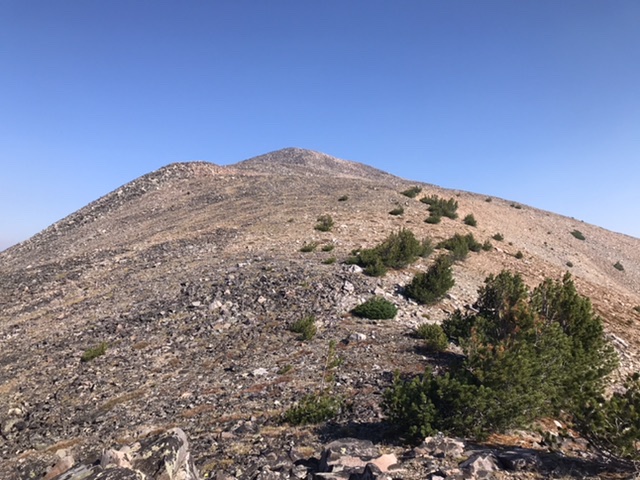
The last third of the southeast ridge is broad with good footing.
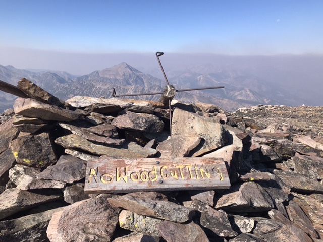
The summit of Mill Mountain contains the remnants of the USGS triangulation station and a pirated sign.
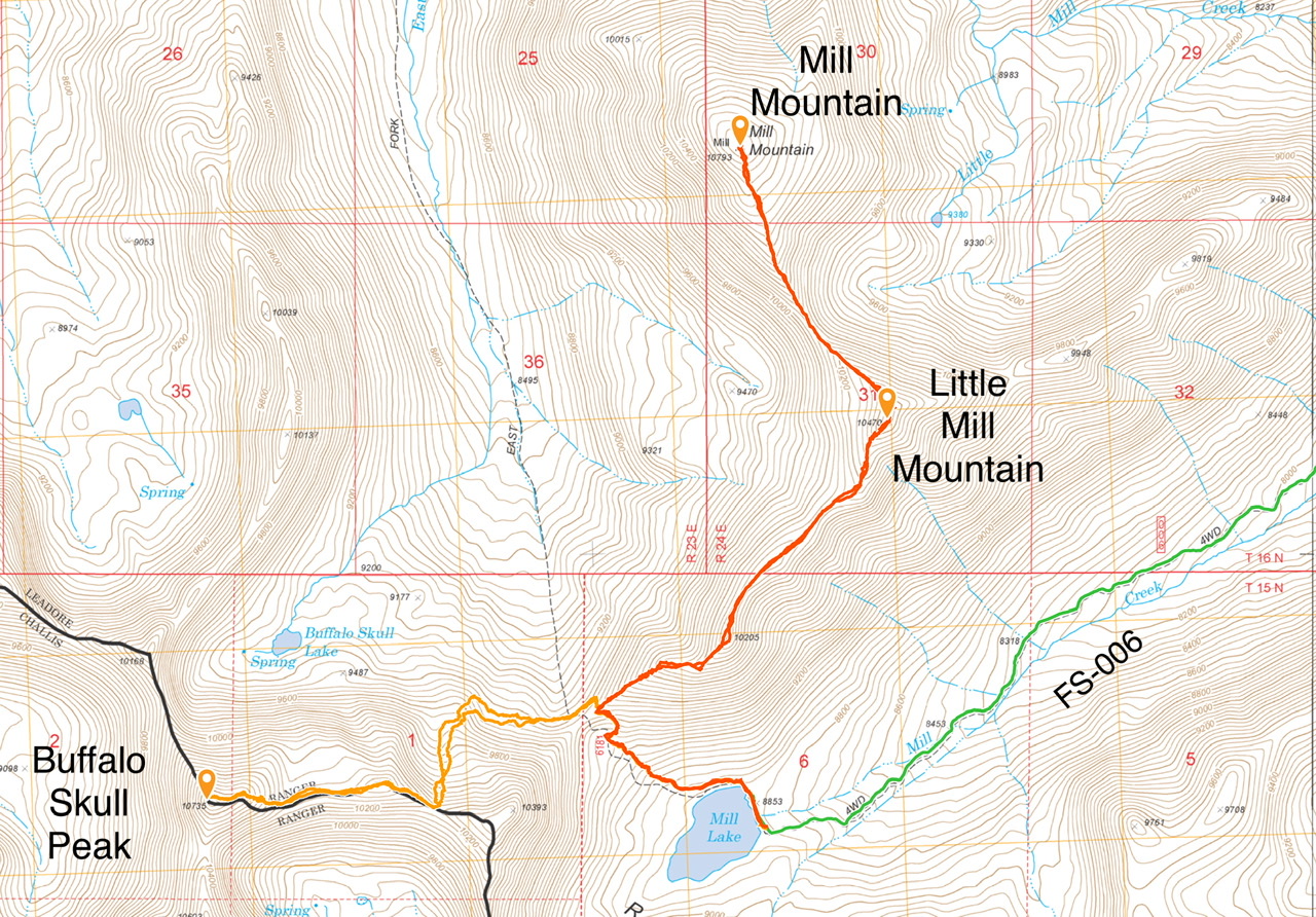
My GPS tracks.
Additional Resources
Regions: EASTERN IDAHO->Lemhi Range
Mountain Range: Lemhi Range
Year Climbed: 2020
Longitude: -113.65811 Latitude: 44.68339