Elevation: 3,622 ft
Prominence: 42
This peak is not in the book. Published November 2023
Mineral Ridge separates Beauty Bay from Wolf Lodge Bay in the eastern finger of Coeur d’Alene Lake. It is easily reached via an old logging road and its west ridge. USGS Mount Coeur d’Alene
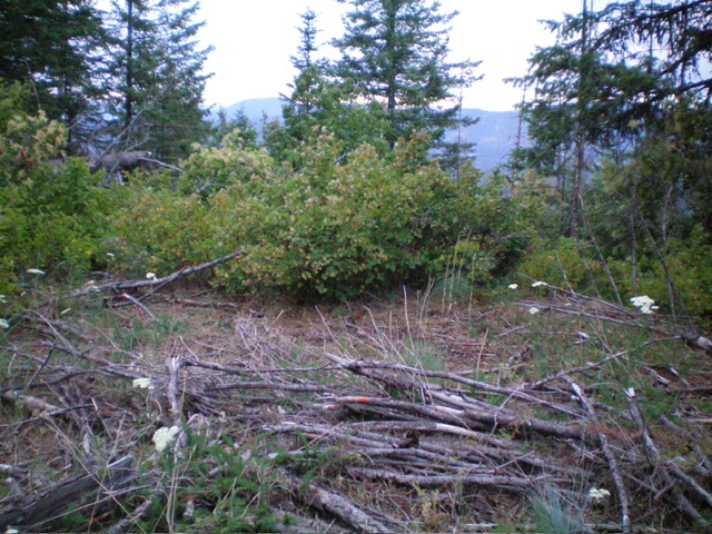
The summit area of Mineral Ridge. A thick mess. Livingston Douglas Photo
Access
From Exit 22 on I-90 in Coeur d’Alene, drive south on ID-97 for 2.3 miles to [signed] Beauty Creek Road. Drive 0.3 miles southeast up Beauty Creek Road to an unsigned junction with FSR-1575. Go left/southeast onto FSR-1575 and drive 3.9 miles through a series of switchbacks to reach an unsigned road junction and gated road closure of a logging road on the right side of FSR-1575. Park at this gated closure (3,220 feet; 47⁰36’39”N, 116⁰39’12”W).
West Ridge, Class 2
The Climb
From the gated road closure, hike east up the logging road as it heads up Mineral Ridge and quickly becomes an overgrown footpath (with some sections of the old roadbed still there). The footpath is on the right/south side of the ridge crest. Leave the old road/trail after about 0.7 miles from the gated closure and bushwhack left/north up through reasonable grass/scrub to reach the thick brush/bushes on the summit ridge. Bushwhack east-southeast on the rounded ridge crest to reach the high point, which is semi-open.
There is no summit cairn on top. The easier way to reach the high point, in retrospect, is to stay on the old road/trail a bit longer to where it reaches a flattish ridge area just east of the high point. The bushwhack west to the high point from there is much easier than the route that I took. I descended the easier route from the summit eastward to the old road/trail.
Additional Resources
Regions: Coeur d'Alene Mountains->NORTHERN IDAHO
Mountain Range: Saint Joe Mountains
Longitude: -116.6416 Latitude: 47.6081