Elevation: 6,565 ft
Prominence: 160
This peak is not in the book. Published December 2020
Morgan Crater is located on the west side of the Dubois-Kilgore Road at the 16.3-mile point. This area is a mix of private and public/BLM land. Much of this crater is on private land, so please obtain permission from the landowner before attempting this climb. The summit high point is on the north rim of the crater. There is a A-frame home and a corral inside the crater itself. USGS Idmon
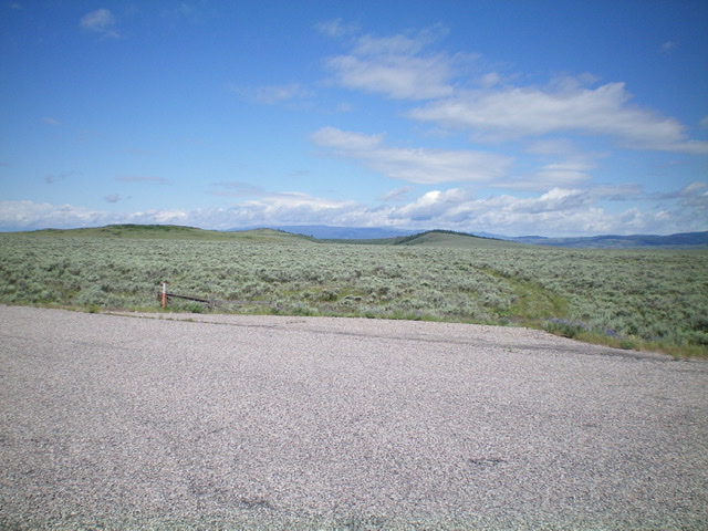
Morgan Crater as viewed from the weak 2-track jeep road at the cattle cistern area. The right hump in the photo is the north rim and is the summit. Livingston Douglas Photo
Access
From Exit 167/Dubois on I-15, drive east on Main Street to the east end of Dubois, ID and a signed junction with the Dubois-Kilgore Road (signed for Kilgore and Yellowstone). Go left/north onto the Dubois-Kilgore Road and reset your odometer. At 16.3 miles, reach an unsigned junction with a 2-track jeep road that is on both sides of the paved road here. Park here (6,430 feet).
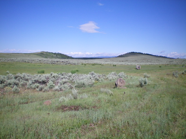
Morgan Crater is in the distance, as viewed from the Dubois-Kilgore Road. The high point is on the north rim, which is just right of center. Livingston Douglas Photo
Southeast Ridge, Class 2
The Climb
Hike northwest on the 2-track jeep road heading directly at the north rim of the crater, which is visible in the distance. After about 0.5 miles, reach an unsigned junction. Merge left onto that 2-track road. The road is now heading west-northwest and soon reaches a grassy area with three cattle cisterns. The road disappears here so keep hiking in the same direction toward the north rim of the crater. You will soon find the road again. Follow it until it reaches a “T” junction with a good jeep road. This is at Point 6372 on the USGS topo map. You are now very close to the southeast ridge.
Leave the road here and bushwhack west through sagebrush (thick at times) to reach the southeast ridge, which is pretty well-defined thanks to the drop-off into the crater to its left/southwest. Work your way through sagebrush northwest then west to reach the summit area. The summit area is flat and ill-defined. Just keep going until you can’t go any higher. The summit area is a mess of thick sagebrush and other brush along with some volcanic boulders thrown in for good measure. There are sections of the summit are that are forested as well. There is no well-defined high point but I found two candidates that were of equal height and not too far apart in a narrow section of the north rim. There is no summit cairn or other indicator of human activity.
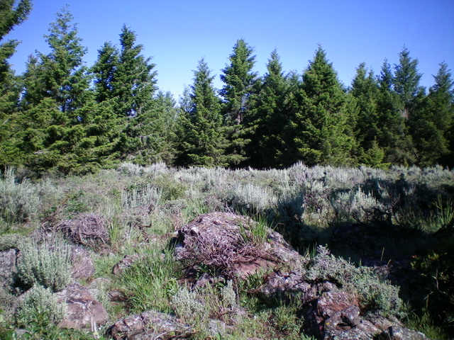
The summit area of Morgan Crater (North Rim). Livingston Douglas Photo
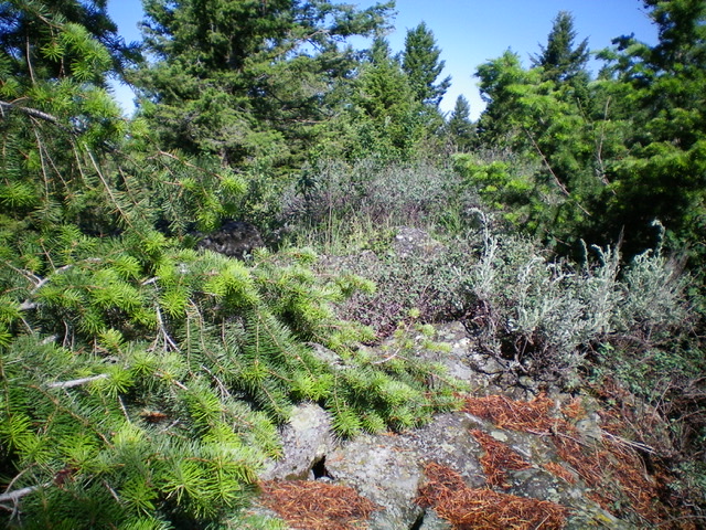
Another potential high point for Morgan Crater (North Rim). Livingston Douglas Photo
Additional Resources