Elevation: 9,265 ft
Prominence: 2,298
Climbing and access information for this peak is on Page 349 of the book. Livingston Douglas provides an extensive update for this big peak. Updated November 2018
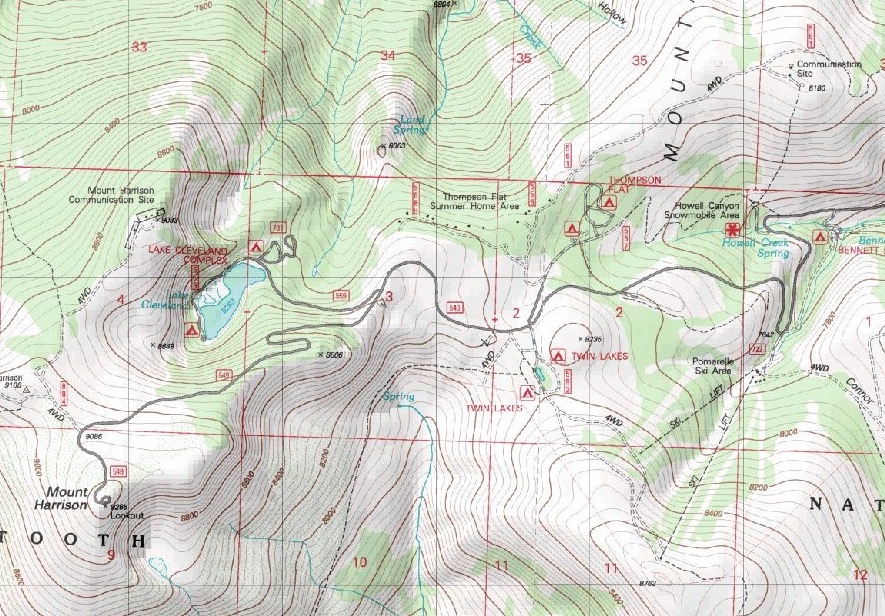
Mount Harrison is the highest point in the northern section of the Albion Range. A paved road leads to the top and the summit’s fire lookout. This road is the highest paved road in Idaho. The open slopes makes the summit approachable from almost any direction. You can find parking areas all along the road. Decide how far you want to hike, park, and pick a line to the summit. Since the road goes by the Pomerelle Ski area, you can get relatively high winter access if you are inclined to do a winter ascent. Google Maps provides precise directions to the summit. USGS Mount Harrison
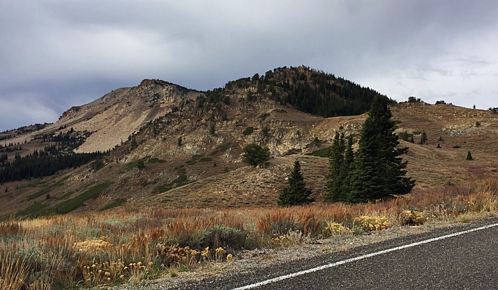
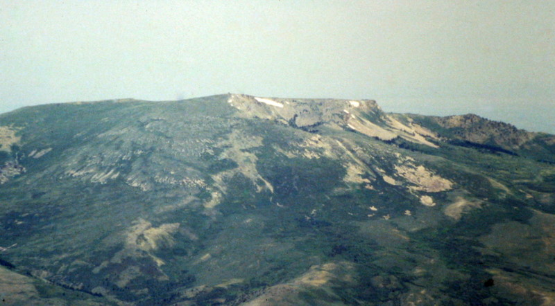
Mount Harrison’s west slopes
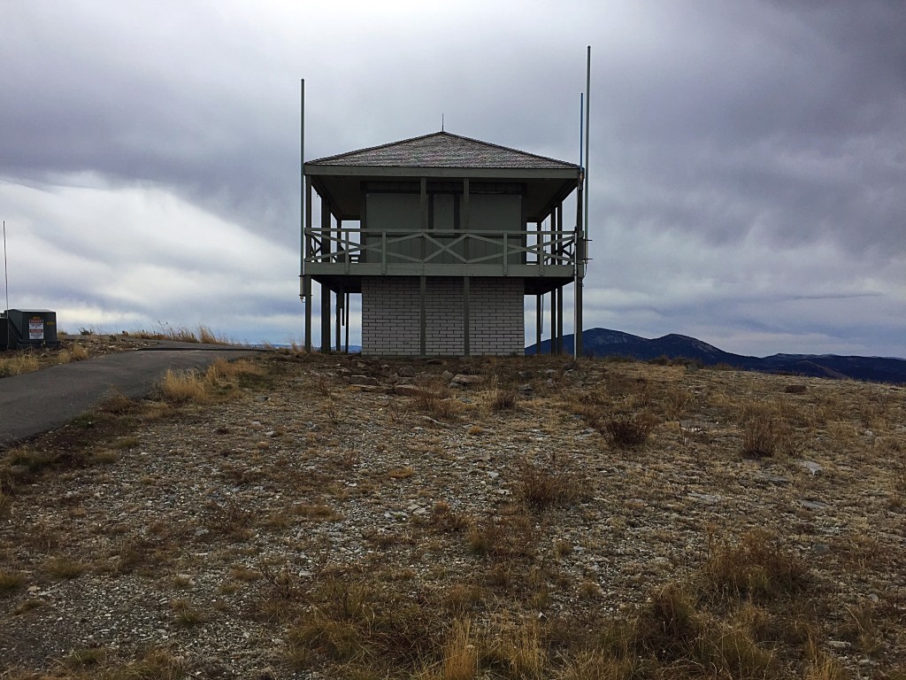
The lookout on the summit of Mount Harrison is active during the summer. The paved road sees a lot of use by cars and bicycles when it’s not snow-covered.
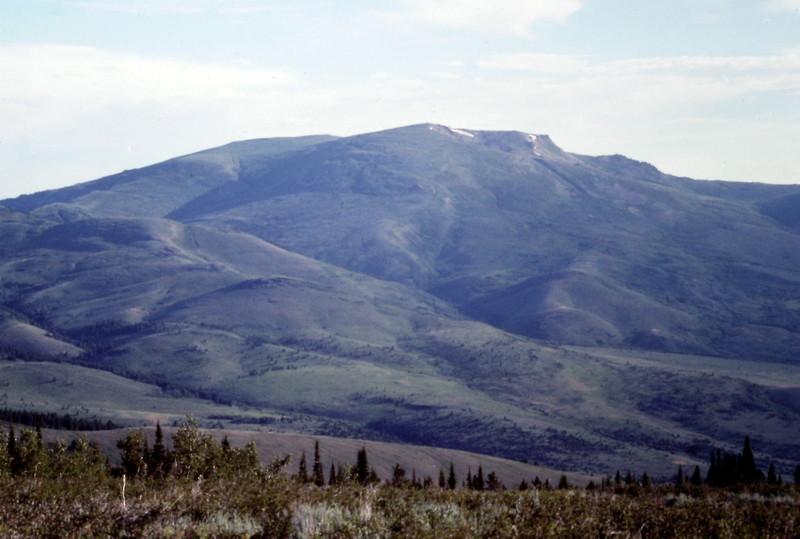
Mount Harrison is a big mountain. Its summit still a long way off in this photo.
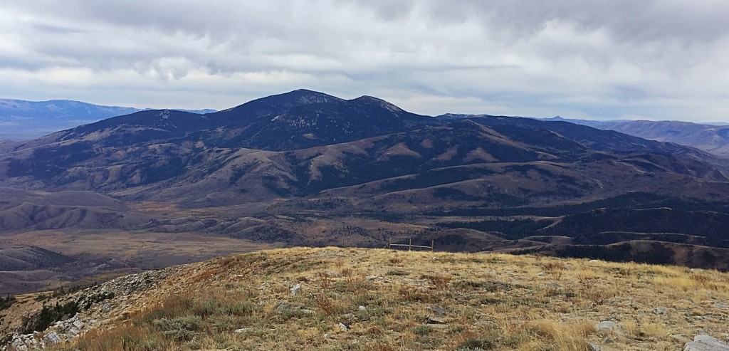
The view from the summit of Mount Harrison, looking south along the Albion Range Crest to Cache Peak.
Mount Harrison as viewed from Cache Peak
The road to the summit of Mount Harrison is paved. As a result, bicyclists find the long climb to the summit a great training route.
2018 Update by Livingston Douglas
Please note that FSR-549/Mount Harrison Road is a curvy, paved highway all the way to the top of Mount Harrison. It is not a quiet, rocky Forest Service Road. It is narrow in spots and has sharp curves with guardrails close by. Be careful if you plan to hike or mountain bike on this road.
The Highway Route, Class 1
Access
Mount Harrison Road/FSR-549 is located on the west side of ID-77 exactly 5.2 miles north of the sharp east turn in the highway at a stop sign (at Connor) that leads to Malta. It is also 14.1 miles south of the junction of ID-77 and ID-81 in Declo. It is a paved road/highway that leads to the top of Mount Harrison. It is signed at ID-77 for “Lake Cleveland” and the “Pomerelle Ski Area.” From ID-77, drive 9.2 miles up Mount Harrison Road to a parking area on the left side of the road, about 0.1 miles past the [signed] right-side turnoff for Lake Cleveland. Park here (8,405 feet).
The Climb
Yes, this is a road hike. A highway hike, to be more accurate. But we’re not going to cheat and drive to the top of Mount Harrison as some folks do. No, we have to EARN this one. From the parking area, hike up the highway to the summit of Mount Harrison. There is a bathroom and turnaround loop on the summit area.
The views along this road are amazing—views down to Lake Cleveland and views of some surrounding points (e.g., Point 9033). I saw a couple of black-tailed deer along the road on the frosty, early morning that I did the hike. This road hike is about four miles round trip and entails about 860 feet of elevation gain.
Additional Resources