Elevation: 6,755 ft
Prominence: 1,655
Climbing and access information for this peak is on Page 52 of the book.
This peak offers a great viewpoint after a short hike from Lunch Peak. The Forest Service has a web page for FST-67 which can followed on to Mount Willard, Purdy Mountain and Calder Mountain. These peaks are also on Page 52 of the book. If you can leave a vehicle at the north end of the hike, you can make it a four-peak, 13-mile day. See the Forest Service’s page for up-to-date information. USGS Mount Pend Oreille
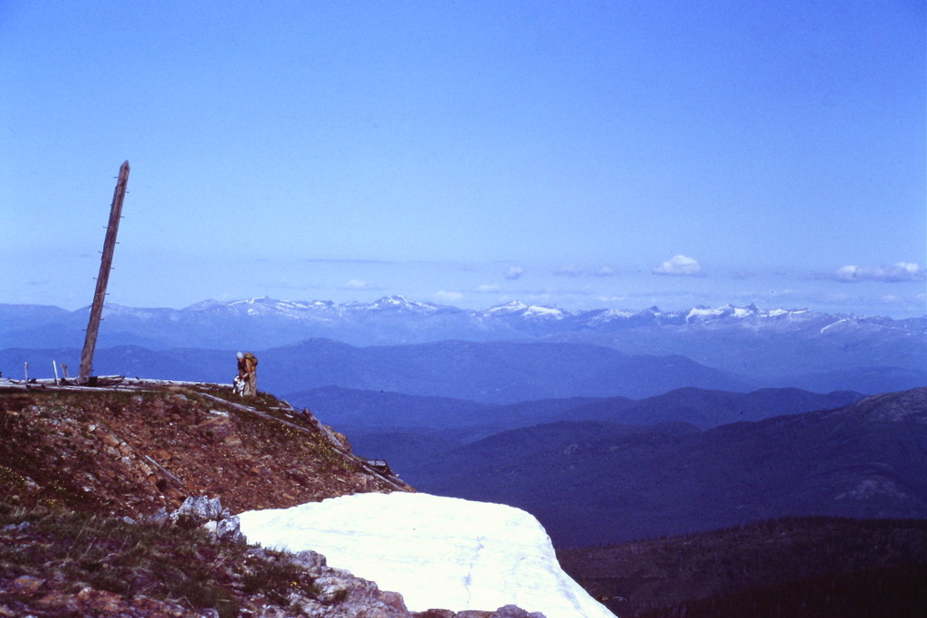
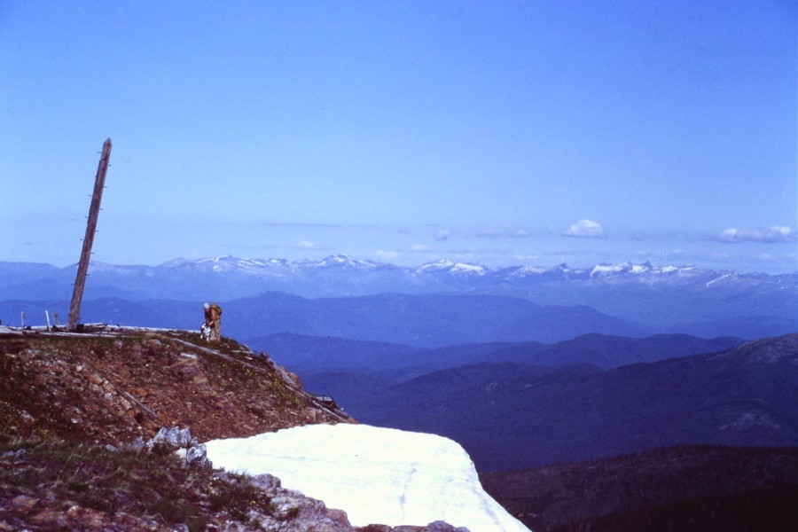
The summit of Mount Pend Oreille.
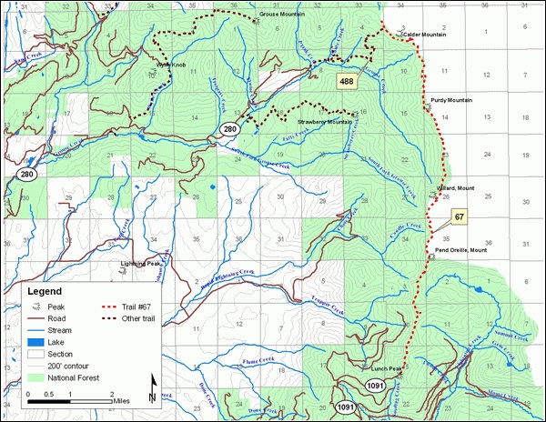
National Forest map of the Mount Pend Oreille area.
Additional Resources