Elevation: 10,258 ft
Prominence: 359
Climbing and access information for this peak is on Pages 197-198 of the book. Elevation and prominence figures are based on recent LiDAR measurements. The USGS Quad shows an elevation of 10180. Updated January 2026
This peak is named after Robert and Miriam Underhill who did many first ascents in the range. It is an impressive conglomerations of faces and towers. USGS Warbonnet Peak
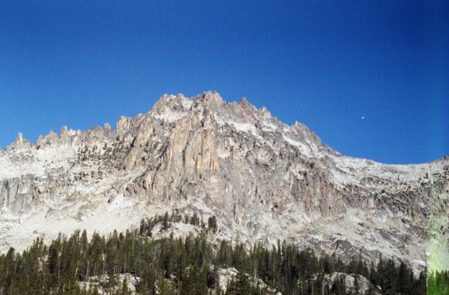
Mount Underhill
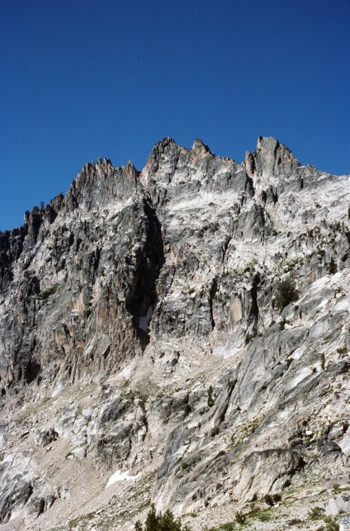
The North Face of Mount Underhill. The Mazama Couloir is the dark, shadow-filled indentation running up the center of the photo.
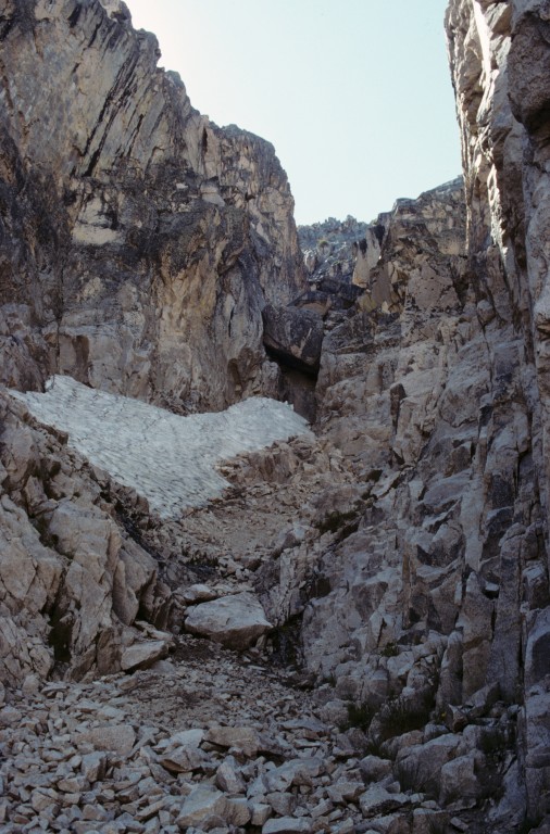
Inside the Mazama Couloir.
Additional Resources
Mountain Range: Sawtooth Range
First Ascent Information:
- First Ascent Year: 1935
- Season: Summer
- Route: Southwest Couloir
- Party: R. Underhill, M. Underhill and Dave Williams