Elevation: 4,984 ft
Prominence: 59
This peak is not in the book. Published November 2022
Ninemile Knoll is a sagebrush hump that is located at the southwest end of the St. Anthony Sand Dunes Area. It is easily reached via 400N, a well-graded dirt road that heads west from the Parker, Idaho area. USGS Plano
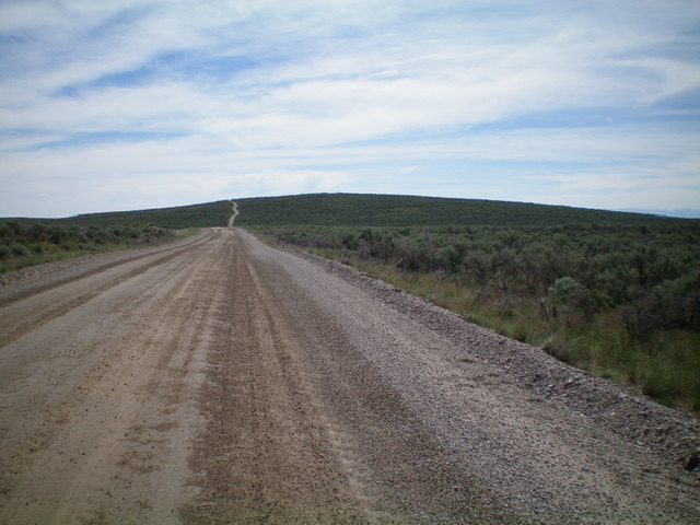
Ninemile Knoll as viewed from 400N to its west. It is a sagebrush hump. Livingston Douglas Photo
Access
From Exit 337 (North Rexburg) on US-20, drive north on Salem Road (unsigned) for 5.2 miles to a signed junction with 400N. Turn left/west onto 400N and follow it (ignoring other roads that bend off of it) for 8.7 miles to an unsigned junction with an ATV trail that goes straight west. 400N bends right/northwest here to skirt the north side of Ninemile Knoll. Park at this junction (4,907 feet on the USGS map). The GPS coordinates at this junction are: 43⁰56’32”N, 111⁰57’23”W.
East Face, Class 1
The Climb
From the road junction, hike west up the sandy ATV trail to a ridge crest. Follow a weaker ATV trail (not shown on maps) left/south a short distance to reach the summit. There is no summit cairn. A few ground boulders (clustered together) are the high point. This peak is a combination of sand and sagebrush.
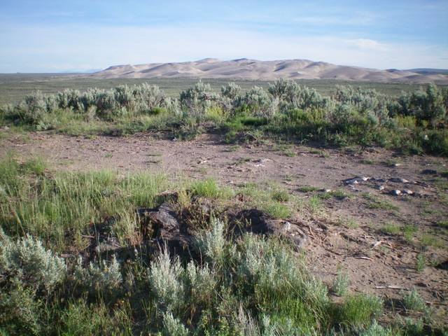
The summit of Ninemile Knoll with Sand Mountain in the distance. Livingston Douglas Photo
Additional Resources
Regions: Saint Anthony Dunes->SNAKE RIVER PLAIN
Mountain Range: Snake River Plain
Longitude: -111.96309 Latitude: 43.94139