Elevation: 8,733 ft
Prominence: 2,913

Climbing and access information for this peak is on Page 356 of the book.
Please be advised that there is a major typo in the book. I wrote that the route climbed the West Ridge when I should have said the “South Ridge.” Darn! Thanks to Martin Neunzert for emailing me and pointing this out. Martin wrote:
I made an attempt on Old Tom Mountain yesterday from Garden Creek Gap. But when I checked your description in the second edition of Idaho: A Climbing Guide (Page 356), it says “…West Ridge from Garden Creek Gap.” Clearly, this is the South Ridge.
Old Tom is most often climbed via its South Ridge, but has also been reported to have been climbed from the Goodenough Creek Campground area on its northeastern side.
South Ridge, Class 2 by Margo Mandella
Travelling south on I-15 from Pocatello, take Exit 40 and drive west on Arimo Road to Garden Creek Gap. The gap area itself is a technical rock climbing area. Park in one of the two dirt pullouts on the west side of the gap. Hike toward the south end of the mountain and walk along the dirt track that travels northwest, looking to your east for a spur ridge to use to reach the mountain’s main South Ridge (there are several options).
Travel along the South Ridge until you reach a prominence that you will have convinced yourself is the summit. It is not; just a very convincing false summit. Continue north to the true summit. This route is approximately 8 miles round trip. It has no water and few trees once you are on the ridge.
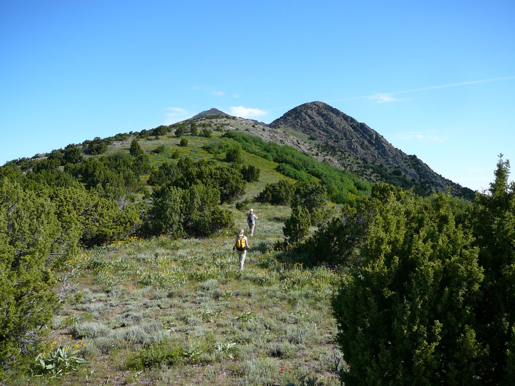
The false summit of Old Tom Mountain (right) and the true summit (left) as viewed from the South Ridge. Margo Mandella Photo

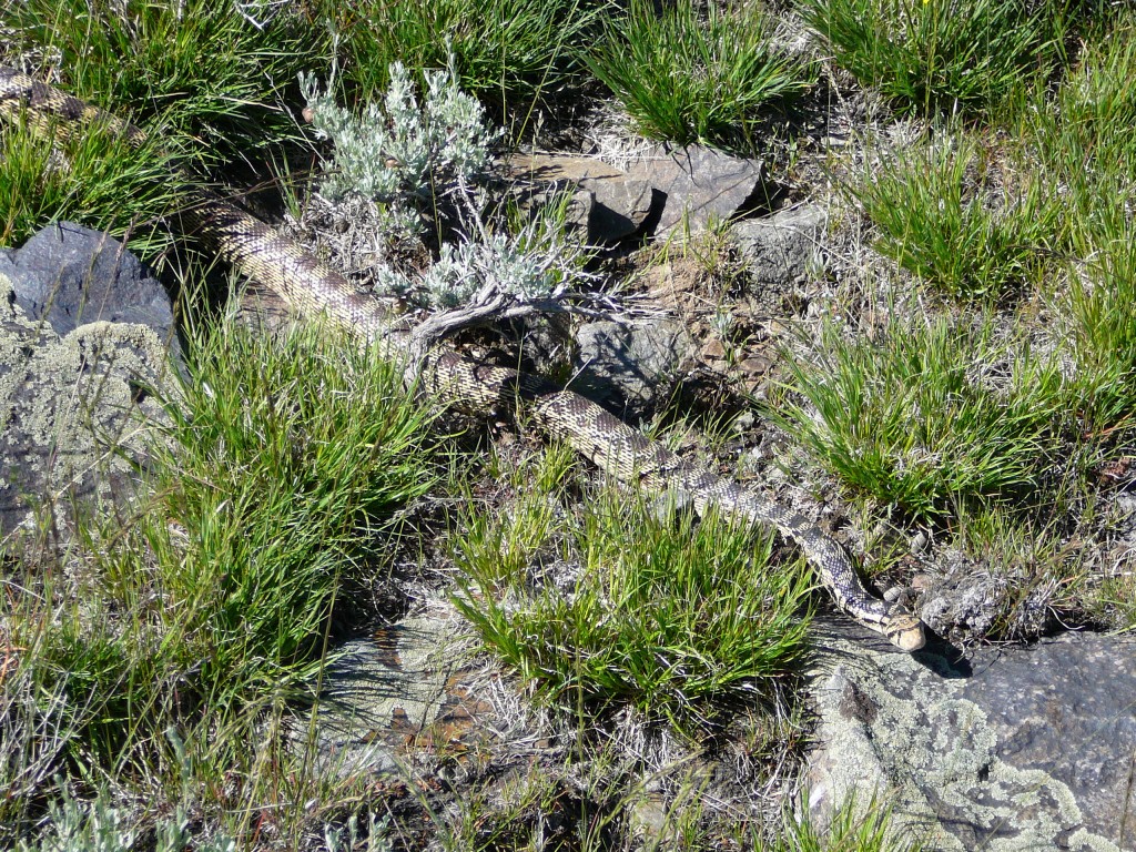
A harmless, but large, resident of Old Tom’s South Ridge. Margo Mandella Photo
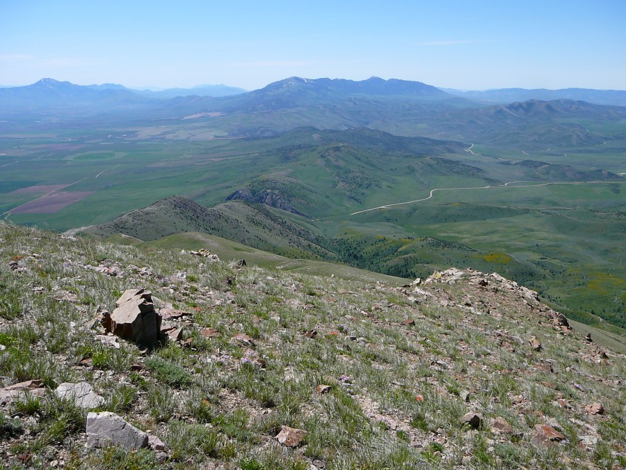
Views from the South Ridge of Old Tom Mountain are expansive in every direction. Margo Mandella Photo

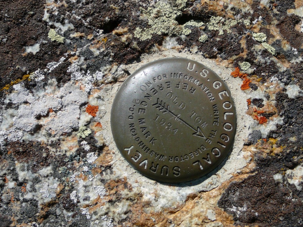
The USGS Benchmark atop Old Tom Mountain. Margo Mandella Photo
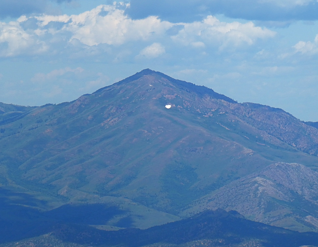
Old Tom viewed from Elkhorn Peak.
Additional Resources
Regions: Bannock Range->SOUTHERN IDAHO
Mountain Range: Bannock Range