Elevation: 6,301 ft
Prominence: 126
This peak is not in the book. Published December 2020
Osborne Butte is a forested hump on the north side of North Hatchery Road/FSR-315, southeast of Island Park. It is a relatively fun, 10-minute scramble from North Hatchery Road. This area is forested with some areas of thick brush, so wear your hiking pants. The north summit is the high point. USGS Last Chance
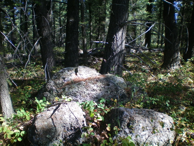
The summit boulders atop forested Osborne Butte. Livingston Douglas Photo
Access
From the junction of ID-47 and [signed] North Hatchery Road/FSR-315, drive 0.3 miles east on the smooth, well-graded FSR-315 and park alongside the road at the steepest entry point to the forested south ridge (6,220 feet).
South Ridge, Class 2
The Climb
From North Hatchery Road, bushwhack north through reasonable pine forest with copious undergrowth/veg toward the forested summit area. Some areas of this bushwhack entail open areas with a mix of boulders and thick veg. Try to minimize those sections. When you reach the south summit, the forest gets easier. Follow a cattle trail along the ridge crest to reach the somewhat thick veg in the mature pine forest of the north summit. You must drop 20 vertical feet to a saddle along the way. The summit high point is a large boulder in the forest and is somewhat obvious. There is no summit cairn and no loose rocks with which to build one. There are no views from the top.
Additional Resources
Regions: Centennial Range->EASTERN IDAHO
Mountain Range: Centennial Range
Longitude: -111.40001 Latitude: 44.29059