Elevation: 3,540 ft
Prominence: 360
This peak is not in the book. Published November 2023
Outlet Mountain sits at the north end of a forested ridge that protrudes into Priest Lake at Outlet Bay. Coolin Mountain (3,475 feet) is located on the same forested ridge and is to the southeast of Outlet Mountain. Outlet Mountain is most easily climbed from a State Forest Road on its west side. USGS Outlet Bay
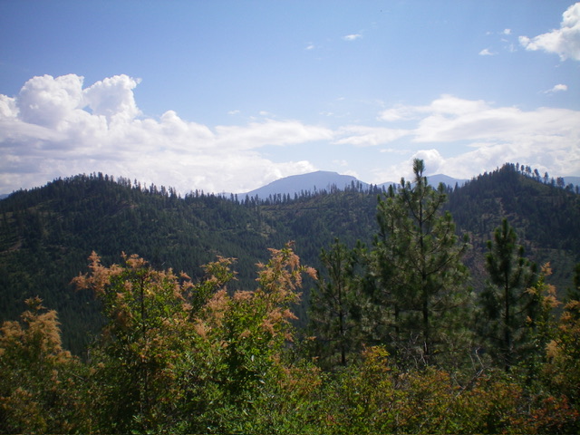
View of forested Outlet Mountain (in mid-ground) from Peak 3195 to its southwest. The summit is at far right. Livingston Douglas Photo
Access
From ID-57 southwest of Priest Lake, turn right/east onto paved Dickensheet Road (signed for “Coolin”). Drive 1.7 miles to an unsigned road junction. Turn left onto a dirt road and drive 3.6 miles to an unsigned road junction and a gated road closure. Park at the closure gate (2,973 feet; 48⁰28’57”N, 116⁰53’53”W). This climb is entirely within the confines of the Priest Lake State Forest.
Map Errors
The National Forest Map fails to show many of the old logging roads in this area, including two of the old roads that I used for the Outlet Mountain routes. The USGS topo map fails to show the correct position (and length) of the 2-track road that I used for the ascent of Outlet Mountain and also fails to show any of the upper 2-track road that I used for part of the descent of Outlet Mountain.
Northwest Face/Northeast Ridge, Class 2
The Climb
From the gated road closure, hike up the 2-track road as it heads northeast then east then southeast. Leave the road when it crests on the northwest side of Outlet Mountain. Bushwhack east-southeast through steep, but manageable, pine forest to reach the brushy summit ridge. Follow an overgrown use trail south-southwest up the ridge to find the high point in a semi-open area. I built a summit cairn at the base of the highest pine tree.The summit area is thickly forested and offers only limited views.
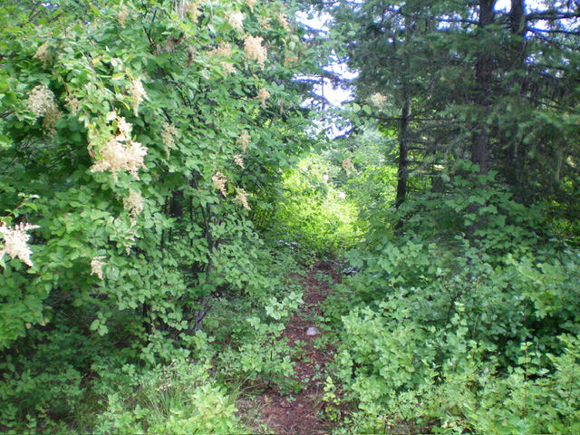
The use trail on the northeast ridge of Outlet Mountain. Livingston Douglas Photo
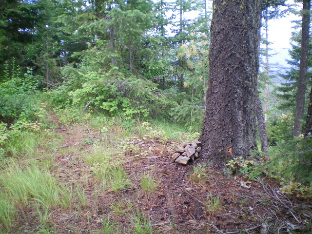
The summit of Outlet Mountain and its newly-built “tree cairn.” Livingston Douglas Photo
South Ridge/West Face, Class 2
The Descent
From the summit, follow the use trail south on the ridge crest to about 3,400 feet. Leave the trail here and bushwhack west down to a [visible] 2-track road. This downward bushwhack is somewhat thick but not awful. Follow the road north then northwest at it climbs a shoulder and then abruptly ends. Descend southwest down a steep, thick face of brush and scrub to reach a much better 2-track road. Follow this road a short distance west to return to your parked vehicle at the road closure gate and road junction.
Additional Resources
Regions: NORTHERN IDAHO->Selkirk Mountains
Mountain Range: Selkirk Mountains
Longitude: -116.8889 Latitude: 48.4828