Elevation: 6,107 ft
Prominence: 177
This cone is not in the book. Published December 2019
Paisley Cone is Peak #7 of the Craters 10-Pack
Paisley Cone is a rocky outcrop with a steep west face. This cone offers all kinds of lava terrain: loose gravel, boulders, the ever-present talus/scree and rocky outcrops. It is best approached from either the east or the south via the Loop Road. USGS Inferno Cone
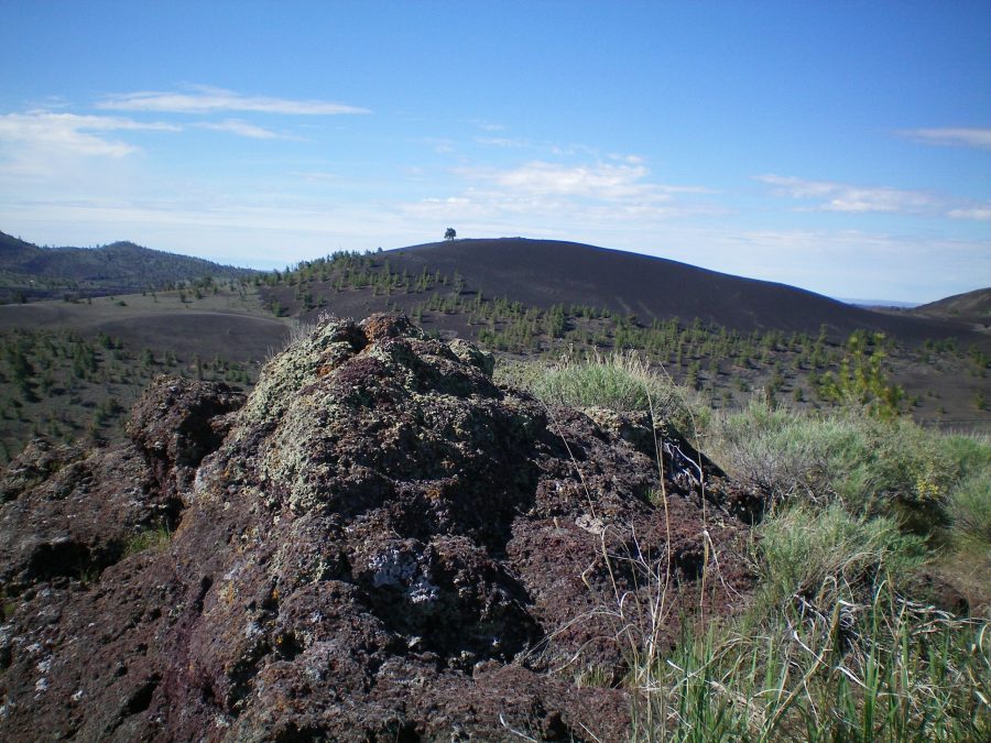
The rocky outcrop that is the high point of Paisley Cone. Livingston Douglas Photo
Northwest Ridge, Class 2
Access
Drive up the Craters of the Moon National Monument Loop Road to the parking area for the Inferno Cone “trail.” Park here (6,040 feet). This climb is part of a multi-peak endeavor that includes Big Craters, Silent Cone, North Crater, and Paisley Cone. This route is the next leg of a traverse from North Crater to Paisley Cone.
The Climb
From the gravelly saddle at the base of the northwest ridge, scramble up loose lava gravel then scrub/grass to reach the ridge. Follow the ridge on scrub/grass to the narrow, rocky outcrop that is the summit of Paisley Cone.
South Ridge, Class 2
Access
Same as for the northwest ridge. This route is the final leg of a loop route that begins and ends at the Inferno Cone trailhead parking area.
The Descent
From the summit, descend the crumbly, rocky south ridge to a gravel slope lower down. Follow a footpath on the gravel slope leading southwest to intercept the Loop Road. Hike up the Loop Road a short distance to reach the Inferno Cone trailhead parking area. The exposure on the right/west side of the south ridge is serious so be careful.
Additional Resources