Elevation: 10,171 ft
Prominence: 351
This peak is not in the book. The following information was provided by Judi Steciak.
Peak 10171 is located 1.1 miles ESE of Norton Peak. Judi notes it “has been visited for many years, as evident by the 1960’s-era beer cans on the summit.” USGS Galena
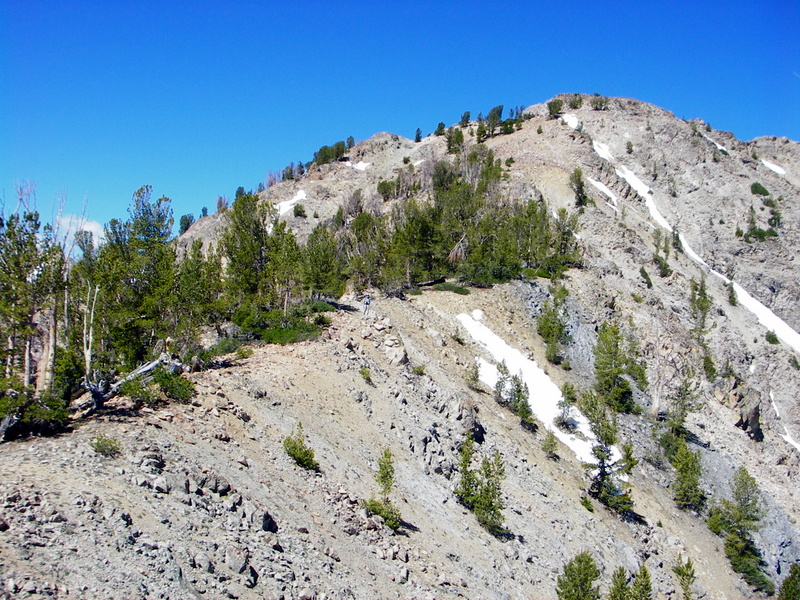
The Southwest Ridge of Peak 10171. Carl Hamke Photo
Southwest Ridge, Class 3
From the parking area [(A)(4)(c)], walk along Newman Creek to the end of the non-maintained section of the road. Continue up the main drainage and work your way up to the tarn at 9,300 feet. The easiest access to the tarn is via a series of slabs that comprise an E-W running ridge that ends just S of the tarn. From the tarn, work up to the saddle SW of the peak. Follow the ridge up to the summit cone and then contour around to the East Face of the summit. Descend the East Ridge for a loop hike.
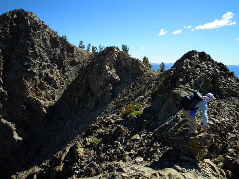
The East Ridge of Peak 10171. Carl Hamke/Judi Steciak Photo
East Ridge (Class 2)
From the parking area [(A)(4)(c)], walk along Newman Creek to the end of the non-maintained section of the road. Work up to the drainage NE of the peak. At about 8,700 feet, turn south to take advantage of a dirty gully that leads up to the crest of the East Ridge. Follow the ridge to the summit, staying close to the crest except where you must contour around the south side to avoid towers. Descend the Southwest Ridge for a loop hike.
Access addition to the book: (A)(4)(c) Newman Creek Road (a supplement to Page 213’s comments on Baker Creek Road). Drive one mile up the Baker Creek Road and turn right onto an unmarked road. You may spot a faded-out FS road marker after you turn. Drive past seasonal homes until the road is blocked near the cabin marked on the map at about 7,340 feet.
Additional Resources
Regions: Smoky Mountains->WESTERN IDAHO
Mountain Range: Smoky Mountains
Longitude: -114.631312 Latitude: 43.756466