Elevation: 10,569 ft
Prominence: 549
Climbing and access information for this peak is on Page 300 of the book.
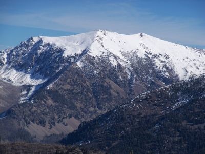
The Ledge is located on the main Lemhi crest south of Mill Lake. It is located between The Wedge and Buffalo Skull Peak. USGS Mogg Mountain
The Ledge viewed from Little Mill Mountain.
Access
Drive to Mill Lake via Mill Creek Road FS-010 and FS 006 [(A)(9.2) Page 315]. The last five miles of this road are narrow, rocky and rough, a high clearance with 4WD Low is recommended]. Google Maps will give you accurate directions. The road to Mill Lake is also on the Avenza app for Forest Service road maps. It will take an hour to negotiate the last five miles.
East Ridge, Class 3
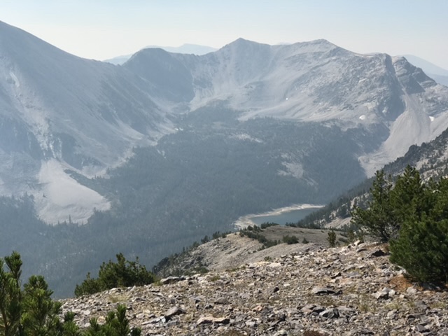
Hike southwest from Mill Lake to the base of the gully shown in the photo. Climb the gully to the col between The Wedge and the Ledge. Follow the peaks east ridge over Point 10314 up to the summit ridge. Follow the summit ridge to the high point.
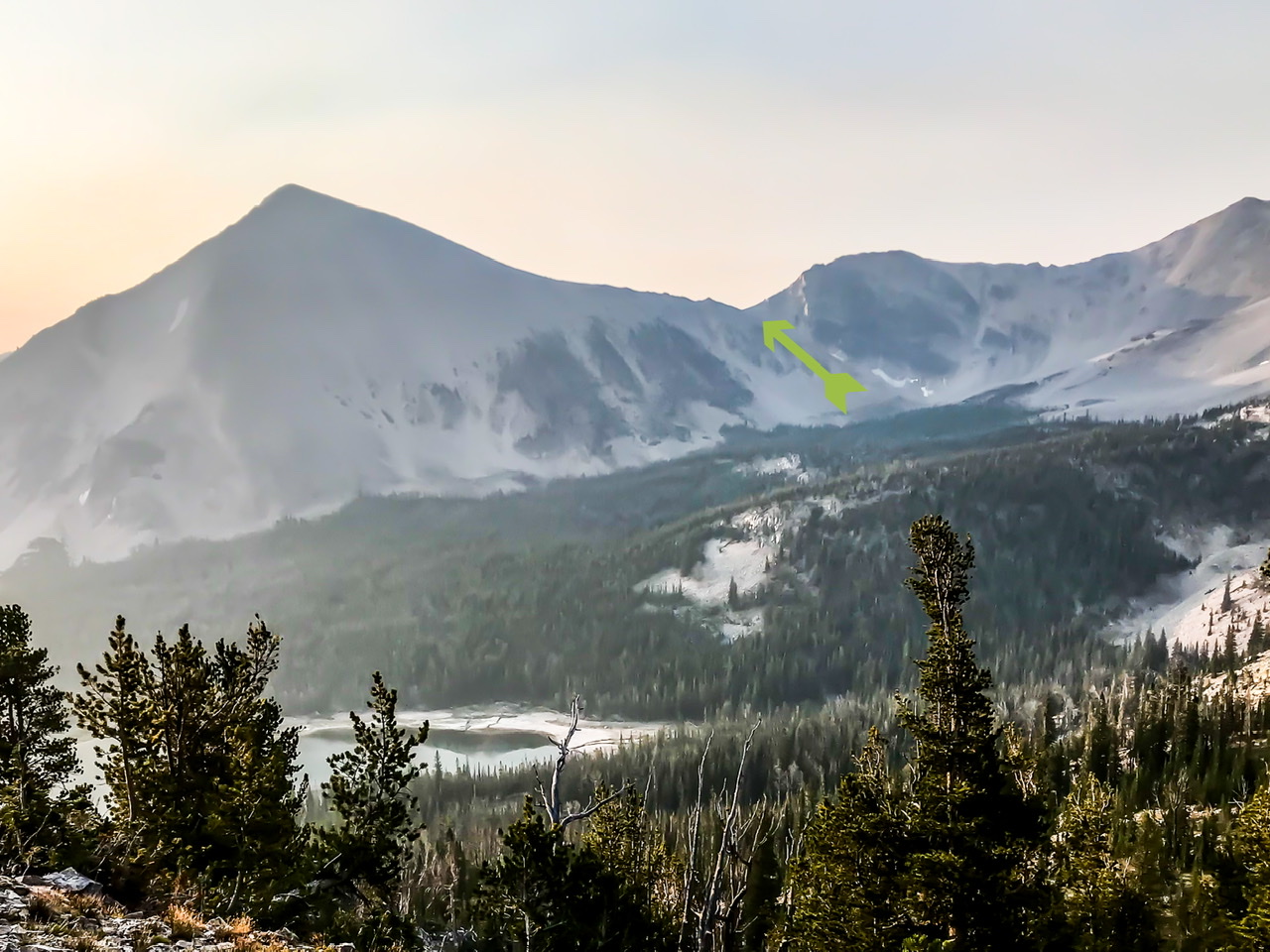
The green arrow shows the gully which leads to the col between The Wedge and The Ledge. The Wedge is on the left. The Ledge is out of sight to the right.
Additional Resources
Regions: EASTERN IDAHO->Lemhi Range
Mountain Range: Lemhi Range
Longitude: -113.66959 Latitude: 44.63959