Elevation: 11,220 ft
Prominence: 640
Climbing and access information for this peak is on Page 257 of the book. The elevation has been updated to 11,220 feet. Updated July 2020
Alcyone Peak forms the junction of the west and east forks of the Smiley Lobe. It is the second-highest peak in this extension of the Pioneer Mountains. The book list two routes: one from the West (Muldoon Canyon) and one from the East (Lake Creek). Both are Class 2+ routes. USGS Smiley Mountain
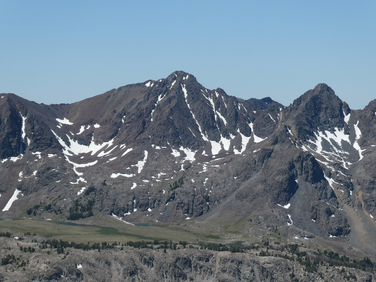
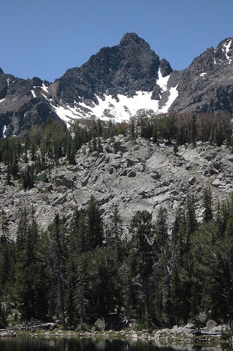
Alcyon Peak viewed from The Ramp.
Access
Primary Access is via FS-510, Muldoon Canyon Road [(C)(3.4) Page 260]. Parts of this road are flooded most of the summer. Follow this 4WD ] road south to the signed FS-511, Green Lake Road. This narrow 4WD road climbs steeply to a parking area at just under 9,400 feet in elevation.
West Cirque/Southwest Ridge, Class 2+
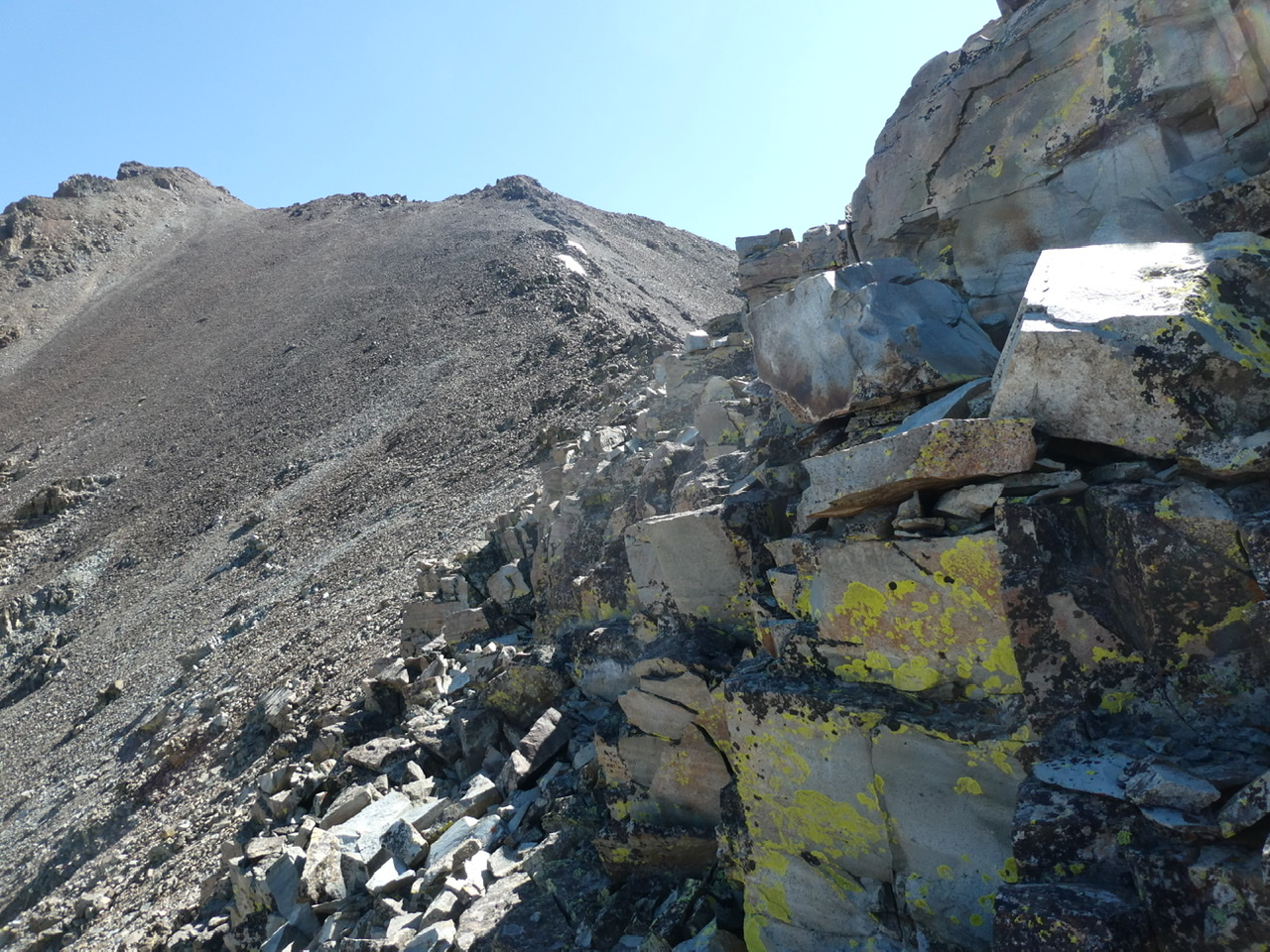
Follow the signed Green Lake Trail to Green Lake. Pass the lake on its west side. Follow the drainage up into the west cirque. Climb toward the ridge on the west side of the cirque and then follow the ridge up toward its terminus. Near the top, a slight game trail cuts east towards the peak’s southwest ridge. Once on the southwest ridge proper follow it to the summit. There is a section of the ridge at roughly 10,800 feet that looks at first glance to be Class 3. It isn’t. Stay on the ridge top. A short step will put you on top of the ridge.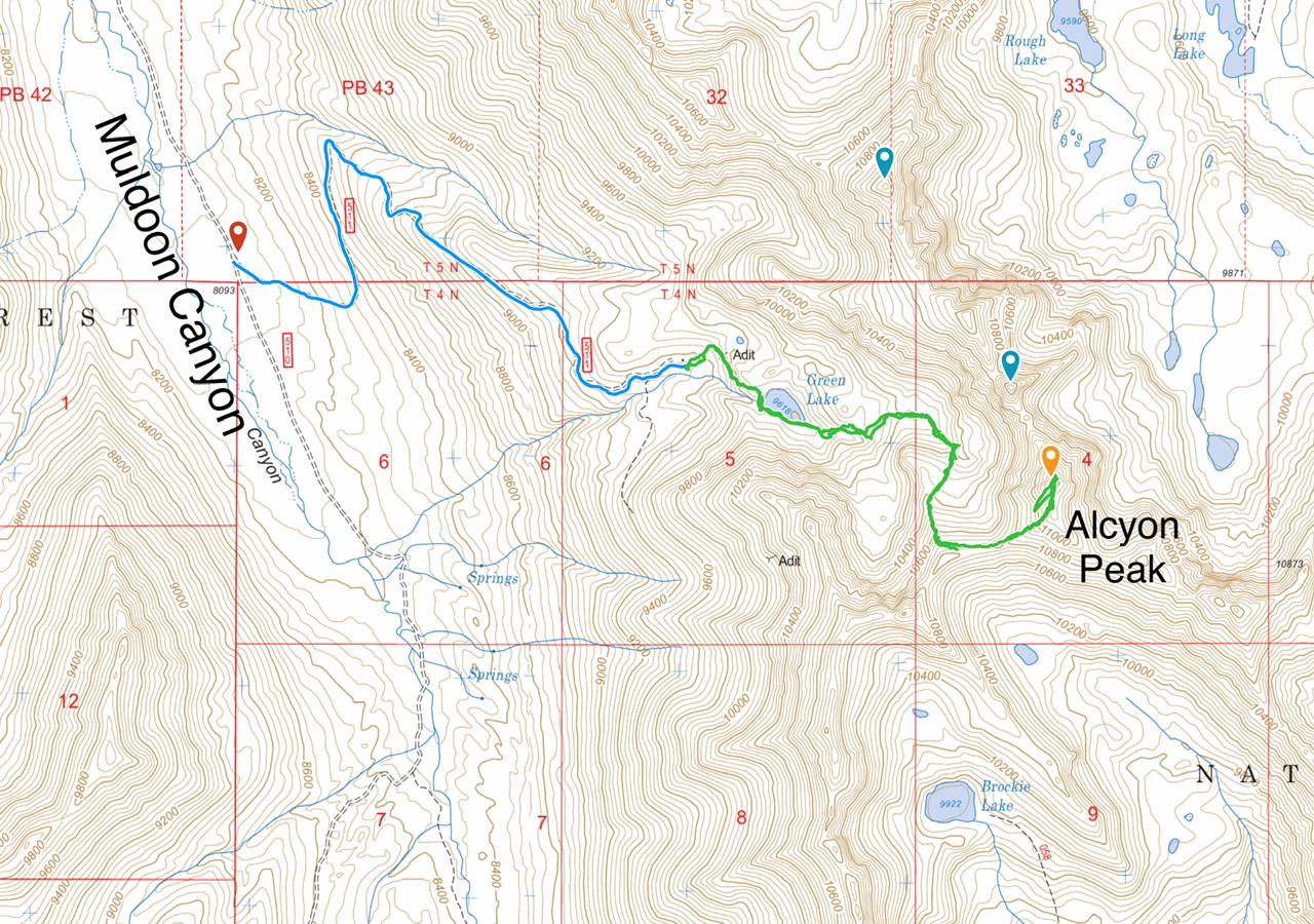
Looking up the Alcyon Peak’s southwest ridge.
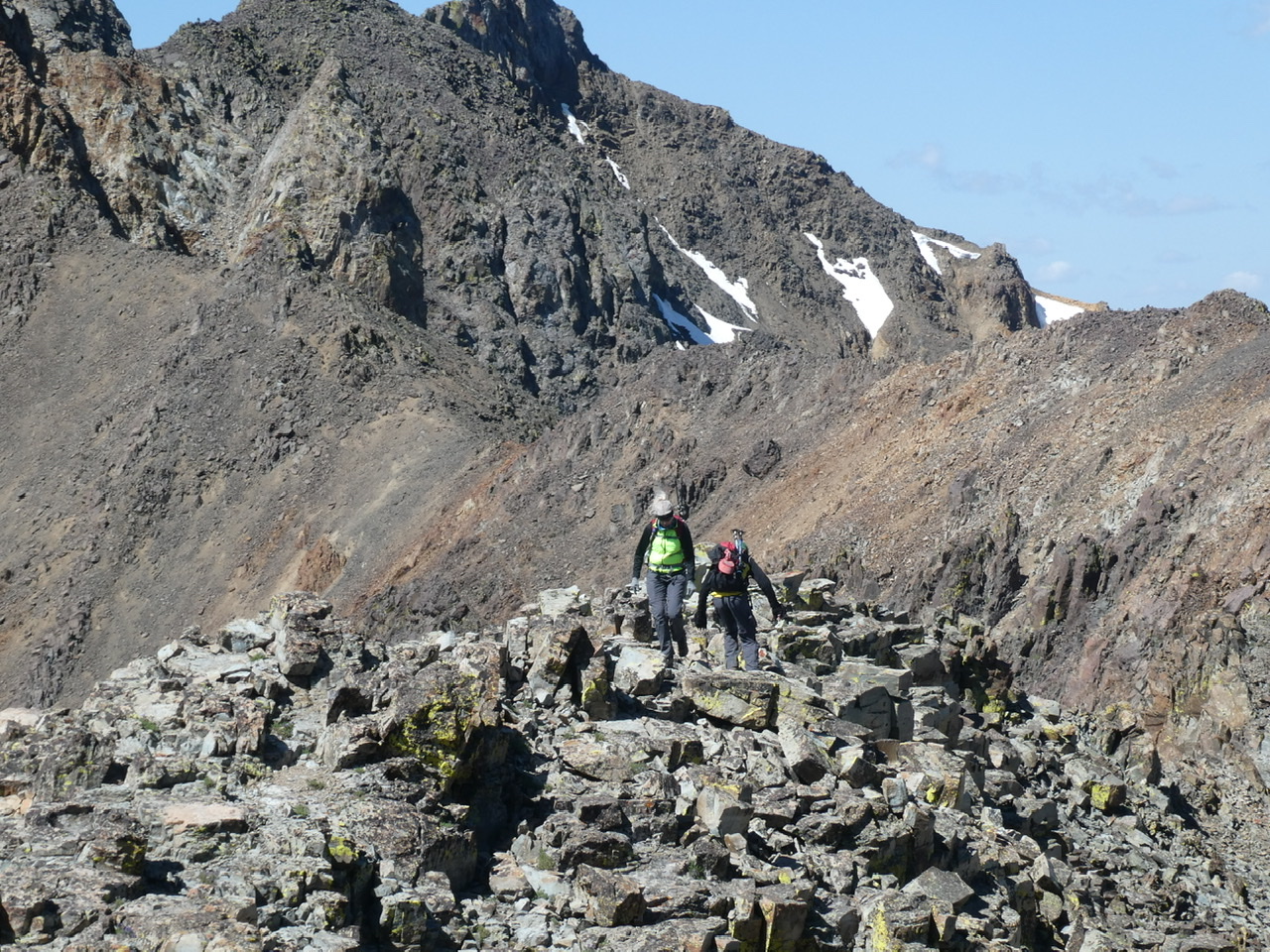
Crossing the ragged ridge top at 10,800 feet.
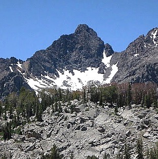
Alcyon Peak. Pat McGrane Photo
Additional Resources
Regions: EASTERN IDAHO->Pioneer Mountains
Mountain Range: Pioneer Mountains
Year Climbed: 2020
Longitude: -113.84549 Latitude: 43.70289