Elevation: 3,260 ft
Prominence: 360
This peak is not in the book. See the Owyhee Mountains Peaks List for all of the peaks in this range. Livingston Douglas added a new access route and his take on the Northwest Gully Route as well as new photos. Updated October 2025
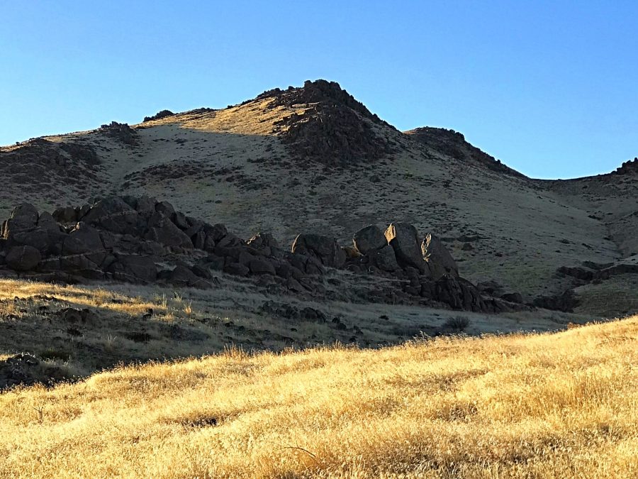
Peak 3260 is located northeast of Wilson Peak and just west of the impressive Reynolds Creek Canyon. Due to its low elevation, this peak is best climbed in early Spring, late Fall or during Winter. The view into the Reynolds Creek canyon from the summit alone is worth the effort. USGS Wilson Peak
Peak 3260 as viewed from the northwest
Access
See the Wilson Creek access page. Follow the paved Wilson Creek Road south from the highway. Just before you reach a giant feedlot, BLM 37154 leaves the road north of a fence line. Turn east and follow this road (which requires a 4WD) toward the peak. There are several signed junctions until you reach the base of the peak at roughly 2,750 feet.
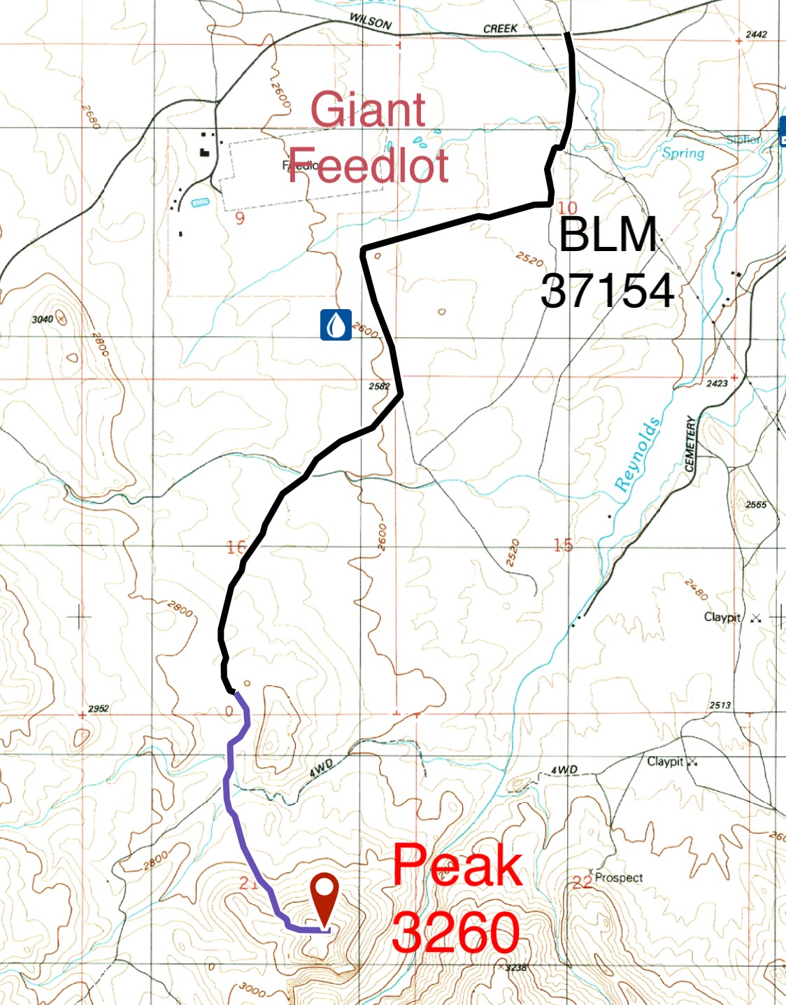
BLM 37154 is shown in black. The road is rough in spots and deeply rutted in places. It is roughly three miles to the base of the peak. The road is ideal for a mountain bike approach.
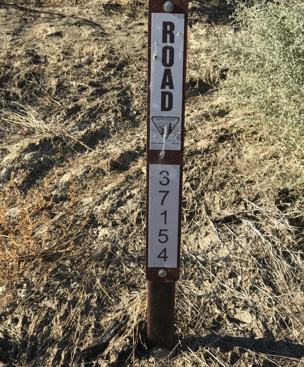
Each junction along 37154 was marked with this type of sign
Northwest Gully, Class 2
Peak 3260 can be easily climbed from the road via numerous lines. The northwest gully shown on the map below is the most direct route. The entire mountain is covered by tall, thick grass. I advise you to avoid the peak during fire season.
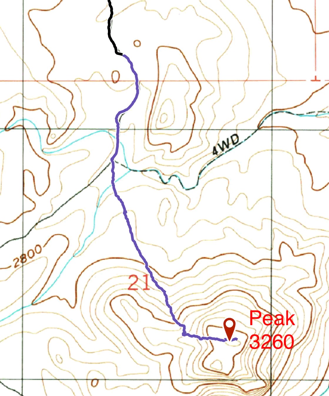
We parked about a mile from the summit to make the walk a little longer. The blue line is our ascent line. Trip stats: 2.0 miles round-trip with 506 feet of elevation gain.
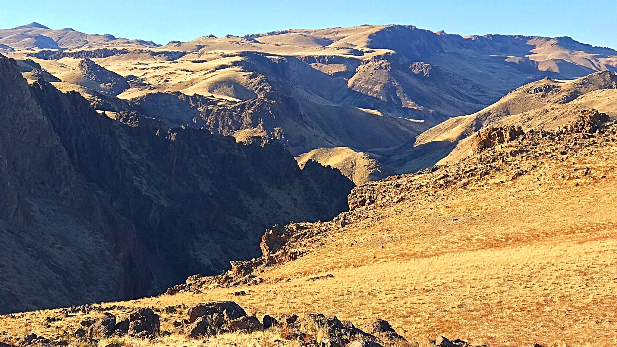
Looking into the Reynolds Creek Canyon from the summit of Peak 3260.
Northwest Gully by Livingston Douglas
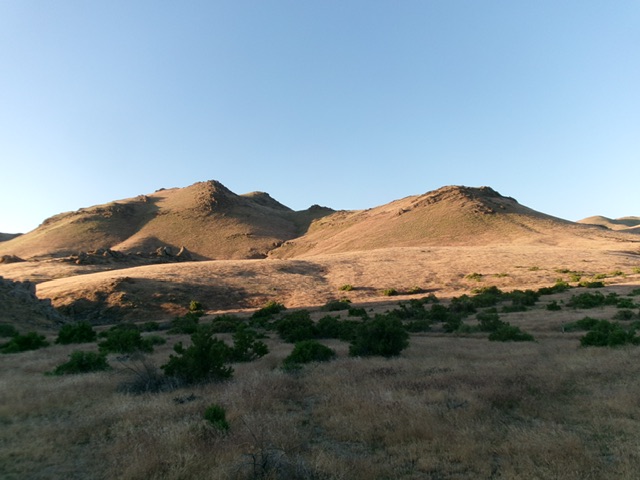
The Peak 3260 massif as viewed from the northwest. Livingston Douglas Photo
Access
See the Wilson Creek Access page. Drive 3.8 miles up Wilson Creek Road (signed as “Wilson Road” at ID-78) to a large parking area at an ATV trailhead (FST-37156) on the southeast side of the road [2,940 feet; 43°20’32.5”N, 116°42’59.9”W].
Northwest Gully, Class 2
The Climb
From the trailhead, hike southeast on ATV Trail #37156 as it heads downhill into a gully. The trail bends left-ish/east to continue down the gully then emerges into open terrain and reaches a signed junction with W300 (a narrow foot path). Leave the ATV trail and hike southeast then south on W300 up over a rocky hill. From there, the trail heads southeast down to a junction with [signed] BLM Road #37154 (or leave W300 early and go cross-country to avoid some uphill and intersect BLM Road #37154 as I did on my ascent route).
Once on BLM Road #37154, follow it south to the open meadow at the base of the north face of Peak 3260. Soon after passing a signed junction, leave the road and scramble left-ish/southeast across a grassy field (with a minor drop) to reach the base of the [obvious] northwest gully that cuts the north face. Scramble south then southeast up the left side of this gully of field grass and hidden, loose talus. Skirt just below steep rock on the northwest ridge. Reach a minor saddle that separates the [slightly-higher] rocky northeast summit hump (the high point) from the gentler, grassy southwest summit hump. From the saddle, scramble up to the top of the northeast summit. The summit has a large summit cairn.
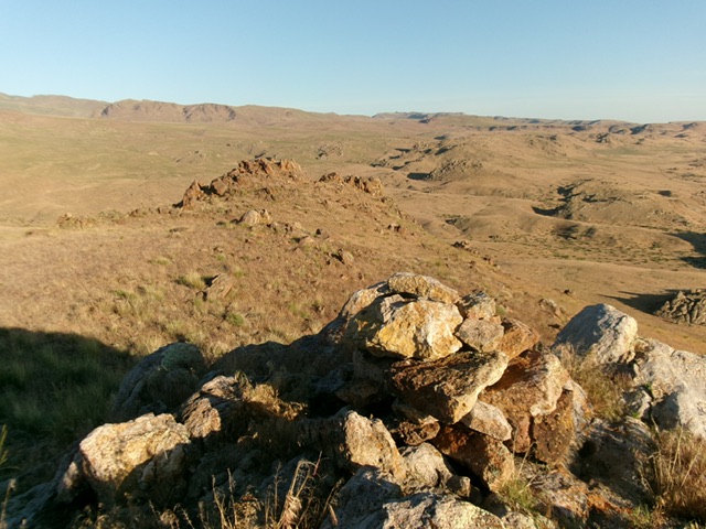
The summit cairn atop Peak 3260. Livingston Douglas Photo
Additional Resources
Regions: Owyhee Mountains->SOUTHERN IDAHO
Mountain Range: Owyhee Mountains
Year Climbed: 2018
Longitude: -116.69449 Latitude: 43.31949