Elevation: 3,510 ft
Prominence: 410
This peak is not in the book. The peakbagger.com website identifies this peak as the Carlin Divide North. Published November 2023
Peak 3510 is a double-humped peak that is located south of Carlin Creek on the east side of Coeur d’Alene Lake. It is most easily climbed via its southeast ridge from FSR-808. This area is a mix of private and public land, so be careful. This climb is entirely on National Forest Land. USGS Mount Coeur d’Alene
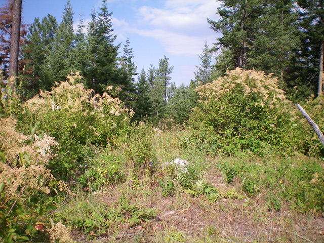
The summit of Peak 3510. Livingston Douglas Photo
Access
From ID-97 on Carlin Bay on the east side of Coeur d’Alene Lake, drive east then south up [signed] CR-312/Asbury Road (which becomes South Asbury Road) for 2.7 miles to an unsigned junction with FSR-808. Turn left/east onto FSR-808 and drive 2.4 miles and park in a roadside pullout. Ideally, drive another 0.1 miles east to a larger pullout where the road crosses the southeast ridge. The former pullout is at 3,110 feet and 47⁰31’22”N, 116⁰42’41”W.
Southeast Ridge, Class 2
The Climb
From the roadside pullout, bushwhack northeast in thick scrub to reach the crest of the southeast ridge. Follow the scattered pines on the ridge northwest to reach the small, brushy, semi-open summit. The ridge is a mix of scrub, grass, bushes, and pines. Stay just left/west of the ridge crest for the easiest going. This bushwhack isn’t too bad based on Coeur d’Alene Mountain standards.
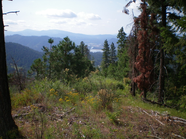
Summit view from atop Peak 3510. Livingston Douglas Photo
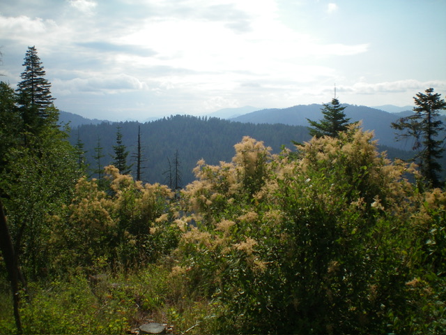
Another view from the top. Livingston Douglas Photo
Additional Resources
Regions: Coeur d'Alene Mountains->NORTHERN IDAHO
Mountain Range: Saint Joe Mountains
Longitude: -116.7131 Latitude: 47.5256