Elevation: 4,740 ft
Prominence: 320
This peak is not in the book. Published May 2020
This small peak is located on the west side of the South Fork Salmon River. Use the link below to read John Platt’s trip report to learn how to reach this gem. The peak’s low elevation makes this a pleasant, forested early-season hike. USGS Teapot Mountain
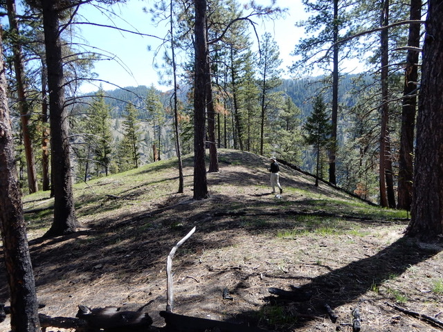
Peak 4740 (Martin Mountain). John Platt Photo
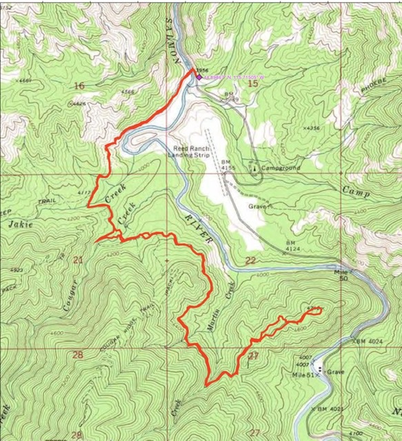
John Platt’s GPS track. His round-trip route covers 8.4 miles with 1,260 feet of elevation gain.
Additional Resources
Mountain Range: Western Salmon River Mountains
Longitude: -115.70049 Latitude: 44.87939