Elevation: 4,984 ft
Prominence: 296
This butte is not in the book. The elevation and prominence figures reflect recent LiDAR updates. Updated January 2025
Peak 4982 is an impressive hump that sits above the Richfield Canal and north of Burmah Road, east of ID-75 and the Shoshone Ice Caves. Due to the difficulty in crossing Richfield Canal (a wide, deep canal with no foot bridges) and the preponderance of private property in this area, I had to revise my plans to find a route that would “go” as they say. And I did. USGS Shoshone Ice Cave
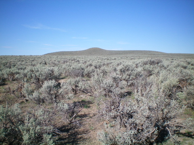
Peak 4982 (dead center) as viewed from the road junction to its east (start of hike).
Access
Burmah Road (1420N Road) is located along ID-75 exactly 0.5 miles south of the signed turnoff for the Shoshone Ice Caves. For the first several miles, Burmah Road is a magnificent, 50MPH paved road. What a treat! From ID-75, turn east onto signed Burmah Road and drive 5.5 miles to a signed junction with 860E Road. Turn left/north onto 860E Road and drive 1.5 miles to an unsigned junction with a 2-track road, just after a bridge crossing of Richfield Canal. The “Canal Problem” is now solved. Park at this unsigned junction (4,600 feet). GPS coordinates: 43⁰09’51”N, 114⁰14’08”W.
East Face, Class 2
The Climb
All of the land from the road junction to the visible summit (to your west) is BLM land. The “Private Property Problem” is now solved. From the road junction, hike west and follow the right/north side of a nearby fence row (to the left of the old road, which soon dies out). The fence row ends soon at a fence corner. Cross a cattle fence and bushwhack west through sagebrush (gapped, pretty easy), aiming directly at the obvious summit hump. You will encounter a pesky, hidden aqueduct soon after the fence crossing. Jump the aqueduct and continue the sagebrush bushwhack until reaching a rocky area just below the summit. Scramble up a section of boulders to reach the summit.
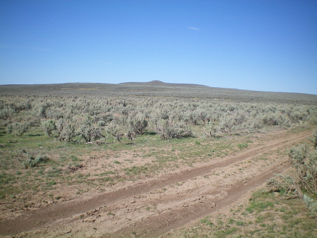
Peak 4982 as viewed from partway up the east face. Livingston Douglas Photo
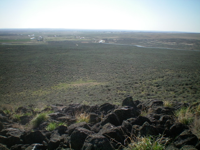
Looking southeast from the summit. Notice the large aqueduct; it looks like a river! Livingston Douglas Photo
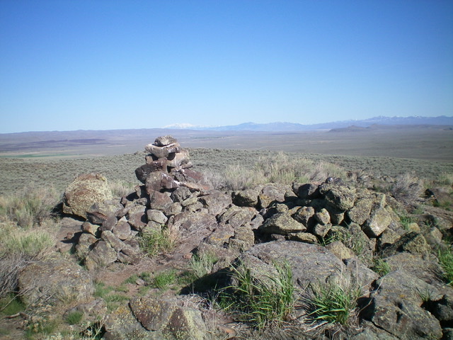
The large summit cairn atop Peak 4982. Livingston Douglas Photo
Additional Resources