Elevation: 5,140 ft
Prominence: 440
This peak is not in the book. Published October 2023
Upper Daggett Point is a thickly-forested hump that sits just south of Clear Creek Summit and southeast of Gardiner Peak (6,500 feet). Due to posted private land, it is no longer accessible from Clear Creek Summit and requires a punishing bushwhack to reach its brushy summit. USGS Robie Creek
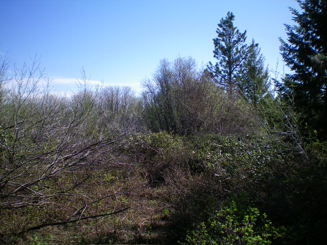
The brushy summit of Upper Daggett Point. Livingston Douglas Photo
Access
From ID-21 about 11 miles north of the Mores Creek bridge crossing, turn left/north onto [signed] FSR-364/Grimes Creek Road. Drive 2.6 miles north on FSR-364 to a signed junction with FSR-261/Clear Creek Road. Drive southwest up Clear Creek Road for 5.0 miles to Clear Creek Summit. Private land prohibits parking on Clear Creek Summit (“No Parking” sign here) and a private home sits on Clear Creek Summit to make sure that you don’t violate the trespass laws.
There are “No Trespassing” signs on both sides of the summit, so hiking from the summit (up an old 2-track road) is prohibited. Drive another 0.2 miles south on Clear Creek Road and descend 100 vertical feet. Park along the narrow road in the thick pine forest at 4,600 feet. This minor pullout was the first parking spot that I could find south of Clear Creek Summit. It is on public land.
North Ridge, Class 2
The Climb
From the parking pullout, bushwhack steeply east up through a steep mess of willows, brush, and pines to reach the ridge crest and an old road. Follow the road south briefly to where it turns sharply left/east. Leave the road here and bushwhack southwest then south up the rounded, ill-defined north ridge through a pine forest (not too bad initially) then through mostly willows higher up. The summit area is large, flat, and thick with willows. There is no obvious high point, so I roamed around a bit to be satisfied that I had stood on the highest point. My GPS positioned the summit at 43⁰42’23”N, 116⁰01’42”W.
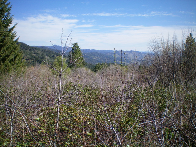
Summit view from brushy Upper Daggett Point. Livingston Douglas Photo
North Ridge/West Gully, Class 2
From the summit, bushwhack north then northeast down the north ridge then descend west down a gully (this gully is located due west of Point 4953) down to Clear Creek Road. Hike about 0.1 miles north up the road to the parking pullout. Surprisingly, the gully bushwhack is much easier than the ridge or face bushwhack for this peak. That is unusual. This area is not a desirable area to be bushwhacking. I can attest to that.
Additional Resources
Regions: Boise Mountains->WESTERN IDAHO
Mountain Range: Boise Mountains
Longitude: -116.0279 Latitude: 43.7066