Elevation: 5,420 ft
Prominence: 329
This peak is not in the book. Published January 2023
Peak 5420 is located on the east side of Goose Creek in the foothills of the Albion Mountains. It separates Day Canyon from Wilson Gulch. The summit is actually at about 5,380 feet as the final contour line is questionable and was not shown on earlier USGS maps. My altimeter confirms the lower elevation. USGS Blue Hill
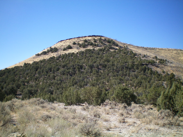
Peak 5420 as viewed from the east. Livingston Douglas Photo
Access
From the end of ID-27 in downtown Oakley, turn right/west onto Main Street and drive 0.4 miles to a signed junction with Goose Creek Road (signed for the Oakley Reservoir, which is shown on maps as the Lower Goose Creek Reservoir). Turn left/south onto Goose Creek Road and reset your odometer. At 8.2 miles, reach [unsigned] Wilson Pass, the road crest for Goose Creek Road.
There is an unsigned road junction here. Continue straight/south on Goose Creek Road. At 10.0 miles, reach a signed junction with Wilson Gulch Road (right). Continue straight. At 10.3 miles, reach a small saddle. Park here in a small pullout alongside the road (5,100 feet). GPS coordinates: 42⁰06’38”N, 113⁰55’17”W.
Map Errors
There is no trail/road coming up from Goose Creek Road to the summit area, as the USGS topo map indicates. The summit area doesn’t deserve a higher contour line as the current USGS topo map shows. The summit plateau is very flat and the juniper-clad summit area is only about five feet above the surrounding plateau, according to my altimeter. That is consistent with previous editions of the USGS topo map.
East Face, Class 2
The Climb
From the road saddle, scramble northwest up the nice, grassy slope to reach a cliff band just below the summit plateau. Climb up through the cliff band to reach the open, vast summit plateau of open grass and scrub. To the west, there is a juniper forest on the plateau. That is where the summit high point is hiding. Walk through the sage and grass to reach the junipers and wander around for a while to find the high point. There is no obvious one but I found three minor rises of equal elevation with nothing higher (according to my altimeter). I found no summit cairn on any of these rises and, frankly, there is no loose rock amongst the juniper with which to build one. Return to the east end of the plateau and descend the steep east face down to the road saddle.
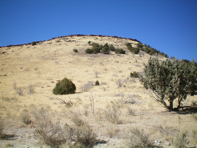
The east face of Peak 5420 (my ascent route) as viewed from the saddle on Goose Creek Road. Livingston Douglas Photo
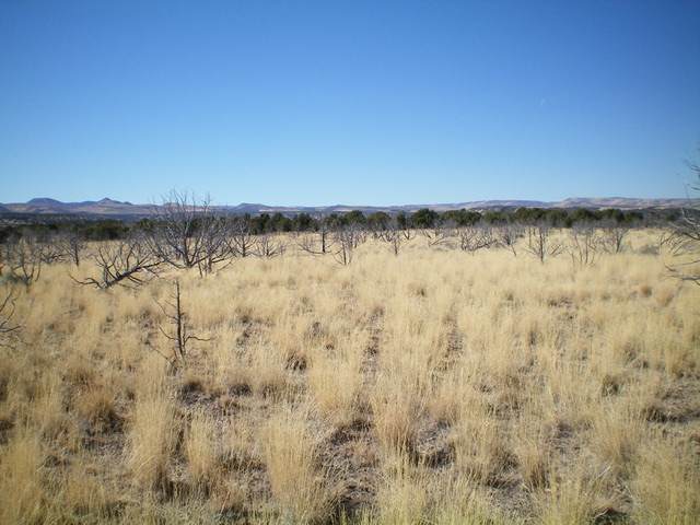
The summit plateau of Peak 5420. The high point is somewhere in the juniper forest in the distance. Livingston Douglas Photo
Additional Resources
Regions: Albion Range->SOUTHERN IDAHO
Mountain Range: Albion Range
Longitude: -113.92959 Latitude: 42.11159