Elevation: 5,426 ft
Prominence: 486
This peak is not in the book. Published November 2020
Peak 5426 is located south of Grand View, Idaho and northeast of Rough Mountain. It is one of four peaks that bracket Poison Gulch at the far southeastern end of the Owyhee Mountains. USGS Rough Mountain
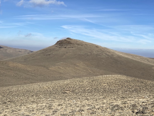
Peak 5426 as viewed from Peak 5437
Access
Poison Gulch is accessed from Poison Creek Cutoff Road which, in turn, is accessed from Mud Flat Road. From the junction of ID-167/ID-78 in Grand View, drive south for 2.1 miles and then turn right onto [paved] Mud Flat Road. Follow Mud Flat Road south and then southwest for 15.9 miles to the signed junction for the Poison Creek Cutoff Road. Turn right and follow this well-maintained gravel road south for 2.6 miles. Turn left at this point onto a 2-track 4WD road. This rough road runs west/southwest to Poison Gulch. At roughly three miles, it passes through a fence line just west of Peak 4545. At four miles, it junctions with a rougher 4WD road that runs due west past the north side of Peak 5437. Park in this area.
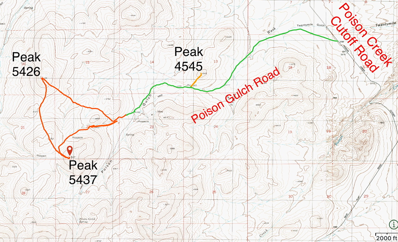
Access and routes for the Poison Gulch peaks
South Ridge/Southeast Slopes Loop, Class 2
Peak 5426 can be climbed from any direction. I traversed over from Peak 5437 and descended the peak’s southeast slopes. This route, as shown on the map, gains a little over 1,500 feet. The loop was just under 5.0 miles.
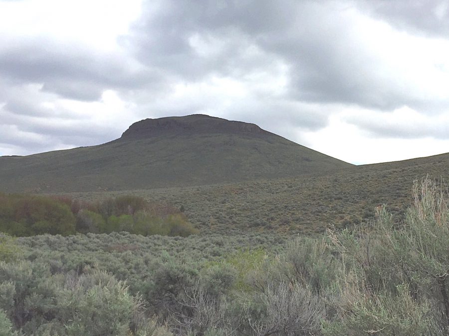
Peak 5426 as viewed from Birch Creek
Additional Resources
Regions: Owyhee Mountains->SOUTHERN IDAHO
Mountain Range: Owyhee Mountains
Year Climbed: 2020
Longitude: -116.33829 Latitude: 42.81249