Elevation: 5,506 ft
Prominence: 286
This peak is not in the book. State of Idaho land is sometimes leased out under conditions that allow the lessee to close the land to the public. Read about trespassing under Idaho Law at the following link: Trespassing. Published January 2023
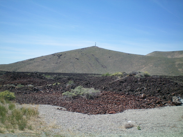
Peak 5506 is an antenna-clad scrub hump located along US-20 at the west end of the Craters of the Moon National Monument. Land status map shows this road section (and the south ridge) as entirely on public land (see the land status map below). The peak is entirely on State of Idaho land. However, the road is gated and posted by a cell tower company for “No Trespassing” a short distance up from the highway. Whether or not this closure sign is an overreach by the owner of the cell phone tower or approved by the Idaho Department of Lands is not clear. USGS Paddelford Flat
Antenna-clad Peak 5506 as viewed from the east. Livingston Douglas Photo
Access
Drive to the [signed] west border of the Craters of the Moon National Monument on US-20 east of Carey and west of Arco. This border is 32.8 miles west of the junction of US-20 and US-93 in Arco and is 2.8 miles east of Fish Creek Road. Park at the base of a jeep road on the north side of the highway, at the toe of the south ridge of Peak 5506 (4,990 elevation).
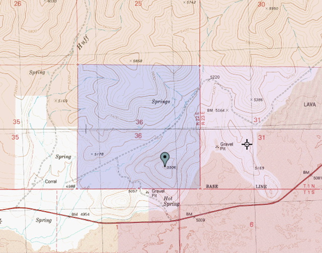
White is private land, blue is State of Idaho land, and brown is BLM land.
South Ridge, Class 2
The Climb
Hike north along the jeep road about 100 feet to the gated closure. Jump the gate and leave the road to scramble right/east up onto the south ridge. Follow the ridge left/north to the summit boulders and the antenna-clad summit. This climb covers a somewhat-steep, but easy, combination of lava rock and scrub. This short adventure covers 1.0 mile with just over 500 feet of elevation gain round trip. It can be done in under 30 minutes round trip. Ironically, there is no fencing around the cell towers.
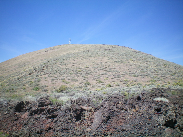
Peak 5506 as viewed from the jeep road to its south (start of climb). Livingston Douglas Photo
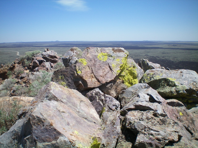
The summit boulders atop Peak 5506. Livingston Douglas Photo
Additional Resources
Regions: EASTERN IDAHO->Pioneer Mountains
Mountain Range: Pioneer Mountains
Longitude: -113.77989 Latitude: 43.37041