Elevation: 5,578 ft
Prominence: 308
This peak is not in the book. Published November 2020
Peak 5578 is situated northwest of White Valley and west of Deep Creek at the south end of the Deep Creek Mountains. This area is a patchwork of public and private land so be careful. This route is entirely on BLM land. Peak 5578 is most easily accessed via a BLM road that begins about ½ mile north of Hess Road on Arbon Valley Road. USGS Holbrook
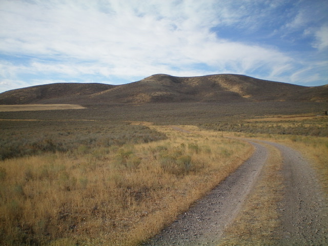
Peak 5578 (summit is left of center) and its northeast ridge (coming at the camera), as viewed from the 2-track BLM road that reaches a field near its base. Livingston Douglas Photo
Access
From the [signed] junction of ID-38 and Arbon Valley Road (a few miles east of Holbrook, ID), reset your odometer and drive northwest on [paved] Arbon Valley Road. At 5.4 miles, reach a [signed] junction with Hess Road/BLM-029. Turn left/southwest onto Hess Road and park along the road near an old, broken-down corral close to road junction (4,935 feet).
The Approach, Class 2
From Hess Road, bushwhack northwest then west across a field of tall sagebrush to intercept a 2-track BLM road (shown on the USGS topo map). Use a good, albeit narrow, horse trail to expedite the traverse across the field of sagebrush. The BLM road is in surprisingly good shape and, if accessible, should be drivable all the way to the base of the northeast ridge. Hike west then southwest along the BLM Road for about a mile to reach the base of the [obvious] northeast ridge of Peak 5578.
Northeast Ridge, Class 2
The Climb
Leave the 2-track BLM road and weave your way through a jungle of tall sagebrush in a flattish field to reach the base of the well-defined ridge. Scramble up through normal sagebrush to reach the ridge crest. Follow the ridge southwest directly to the summit. The ridge terrain is easy sage and field grass. The summit had a torn-down cairn so I rebuilt it.
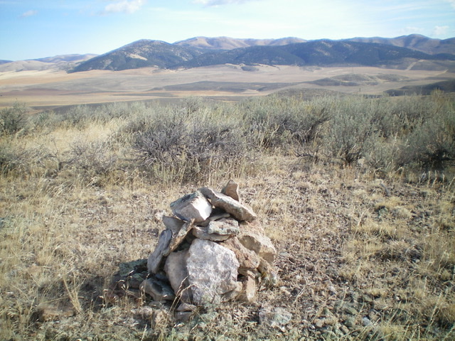
The newly-rebuilt summit cairn atop Peak 5578. Livingston Douglas Photo
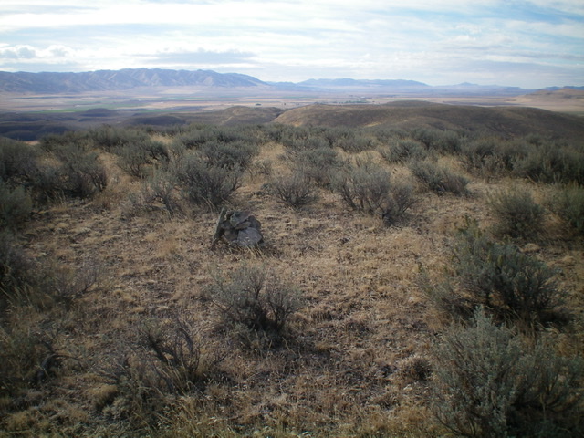
Another view of the sagebrush-covered summit of Peak 5578. Livingston Douglas Photo
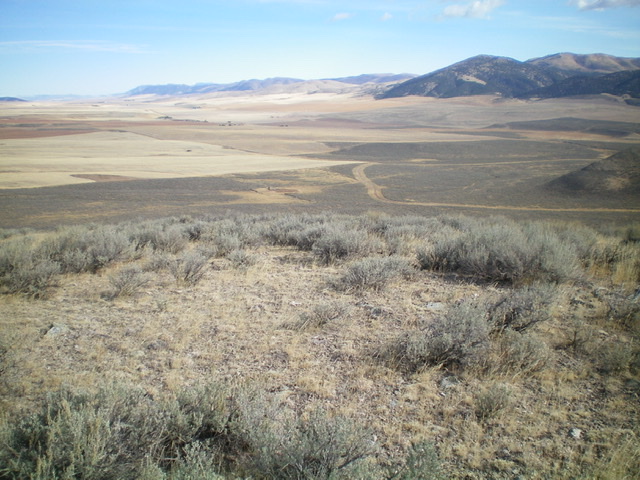
Looking down at the 2-track BLM road and Arbon Valley from the summit of Peak 5578. Livingston Douglas Photo
Additional Resources
Regions: Deep Creek Mountains->SOUTHERN IDAHO
Mountain Range: Deep Creek Mountains
Longitude: -112.64789 Latitude: 42.22901