Elevation: 5,610 ft
Prominence: 424
This peak is not in the book. Published November 2020
Peak 5610 is a rather nondescript hump that is dotted with junipers. It is a mish-mash of gullies and shoulders. The summit is difficult to see from the Black Pine-Stone Road due to the juniper-clad intervening shoulders. Peak 5610 offers a nice view of the Stone Hills to the south. USGS The Cove
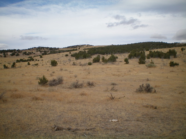
Peak 5610 and its southeast side as viewed from the starting point for the climb, at the base of BLM-667. The summit is barely visible and is the minor hump in the distance, left of center. Livingston Douglas Photo
Access
BLM-667 is located just north of the Stone Hills and is on the north side of the Black Pine-Stone Road/BLM-604. The road junction is signed. This road junction is exactly 15.0 miles southwest of the junction of ID-38 and ID-37 in Holbrook and is 7.6 miles east of the west end of the Black Pine-Stone Road just west of I-84 and south of the town site of Black Pine. The Black Pine-Stone Road/BLM-604 begins at its junction with 3600W/BLM-607 just west of I-84.
South Shoulder/Southeast Ridge, Class 2
The Climb
From the base of BLM-667 at the Black Pine-Stone Road (5,105 feet), hike northwest across easy, open scrub to reach a juniper-clad shoulder. Follow this shoulder north to the southeast ridge. Scramble northwest through sagebrush and other brush to reach the semi-open, juniper-clad summit of Peak 5610. The summit had no summit cairn. Please note that the southeast side of Peak 5610 is a maze of dry gullies and shoulders. Just pick either a gully or a shoulder and follow it to the southeast ridge. The gullies are free of junipers and are generally an easier route. Once on the southeast ridge, it is a straightforward ridge traverse to the top.
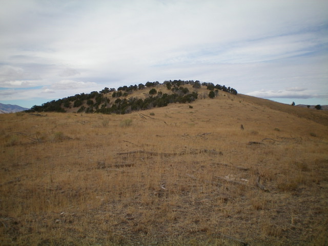
The juniper-clad summit hump of Peak 5610. Livingston Douglas Photo
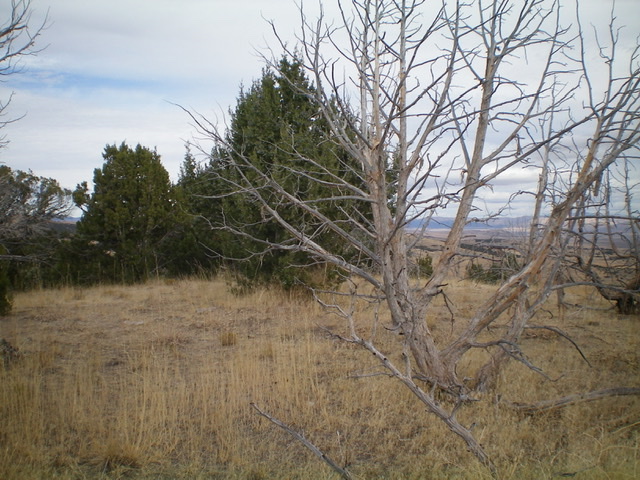
The summit area atop Peak 5610. Livingston Douglas Photo
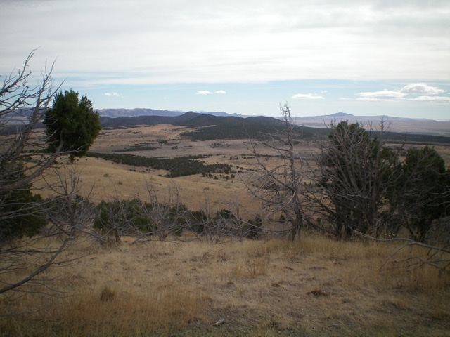
The juniper-covered Stone Hills (center, mid-ground) as viewed from the summit of Peak 5610. Livingston Douglas Photo
Additional Resources
Regions: SOUTHERN IDAHO->Sublett Range
Mountain Range: Sublett Range
Longitude: -112.80689 Latitude: 42.06189