Elevation: 5,620 ft
Prominence: 320
This peak is not in the book. Published November 2023
Peak 5620 is a minor hump that sits above the confluence of Pattee Creek and the Lemhi River in the Beaverhead Mountains. It is an easy climb from a nearby dirt road via its north face. USGS Agency Creek
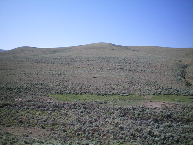
Peak 5620 (summit hump is in dead center) as viewed from the north. Livingston Douglas Photo
Access
From ID-28 at Tendoy, drive east on [signed] Tendoy Lane for 0.1 miles to a “T” junction. Go left/north onto the [signed] Lewis and Clark Backcountry Byway and drive 2.7 miles to a signed junction. Go right/east here to continue on the Byway. Reset your odometer at this junction. This junction is also 1.9 miles south of 17 Mile Lane which goes 0.4 miles west to reach ID-28 north of Tendoy. At 1.0 miles, reach an unsigned junction. Go right/southeast onto a single-lane dirt road that heads up a gully. Drive 0.6 miles up this dirt road and park in a pullout on the right/south side of the road at 5,170 feet and 44⁰59’57”N, 113⁰36’55”W).
North Face, Class 2
The Climb
From the roadside pullout, descend 60-65 feet in thick sagebrush to cross two dry gullies (which are next to each other). Once across the gullies, scramble south up reasonable sagebrush to reach the gentle, open summit of Peak 5620. The summit has a small cairn. A 2-track road comes up to the summit from the northeast. If you can drive farther up the dirt roads in this area, you can do a road hike to the summit via the northeast ridge.
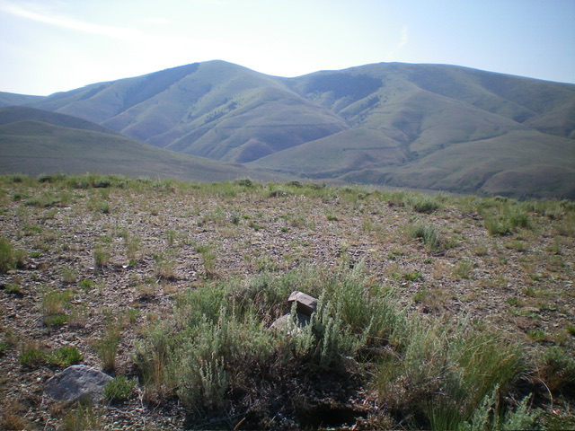
The summit of Peak 5620 with the Continental Divide in the distance. Livingston Douglas Photo
Additional Resources
Regions: Beaverhead Range->EASTERN IDAHO
Mountain Range: Beaverhead Range
Longitude: -113.6127 Latitude: 44.9910