Elevation: 5,664 ft
Prominence: 299
This peak is not in the book. Elevation and prominence figures are based on recent LiDAR measurements. Published October 2025
Peak 5664 separates the North Fork drainage from the Spring Creek drainage in the foothills of the Boise Mountains. It sits west-southwest of Lava Mountain and is most easily be reached from a spur road that comes off the Forest Service road to the Lower Lava Mountain trailhead. USGS Prairie
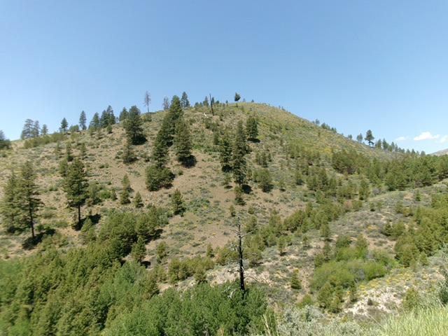
Peak 5664 as viewed from the southeast. Livingston Douglas Photo
Access
From the junction of [signed] West Long Gulch Road/FSR-213 and Prairie Road on the west side of Prairie, reset your odometer here. Drive 2.4 miles west on West Long Gulch Road to a signed junction with West Blacks Creek Road/FSR-189. Head right/north on West Long Gulch Road for 3.8 miles to a signed junction with Lava Mountain Trailhead Road/FSR-222. Drive 0.8 miles up FSR-222 (a badly rutted, narrow 2-track) to an unsigned junction at a gated road closure gate. Park at this gate [5,267 feet; 43°33’46.5”N, 115°35’56.8”W].
East Ridge, Class 2
The Climb
From the gated road closure, hike north up an old 2-track road(formerly FSR-222) as it weaves its way to a saddle on the east side of Peak 5664. Leave the 2-track here and bushwhack west up a rounded ridge of scrub and scattered pines. Stay left/south of the thicker brush. Upon reaching the false summit hump, continue west-southwest (dropping 20 vertical feet to a minor saddle) to climb atop the high point of Peak 5664. There was no cairn on the open summit so I built one.
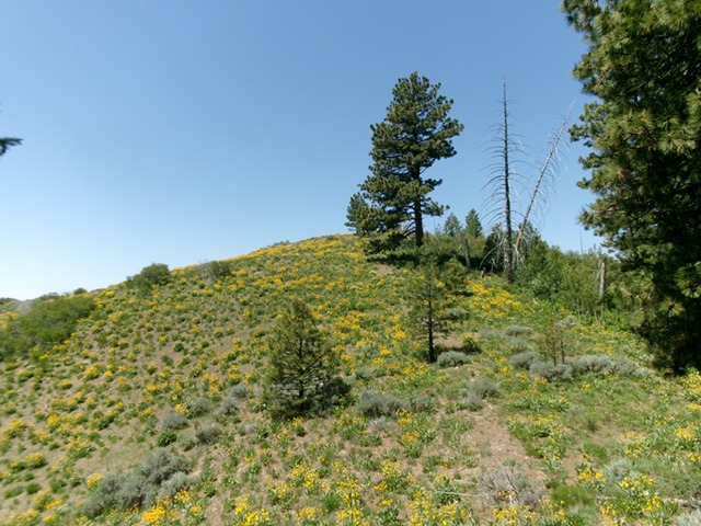
The veg-covered summit hump of Peak 5664. Livingston Douglas Photo
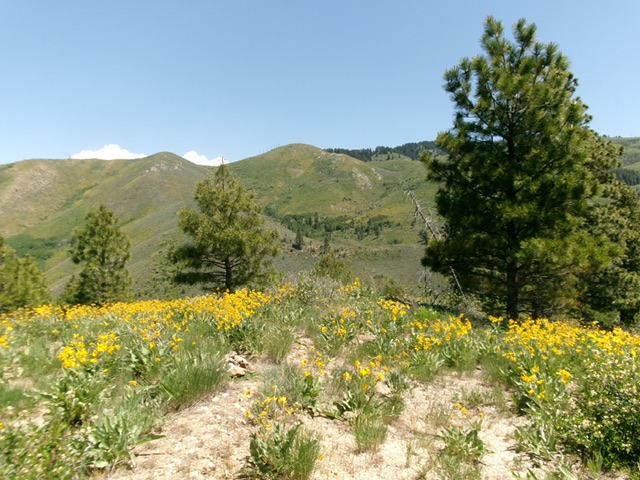
The summit of Peak 5664, looking east. Livingston Douglas Photo
Additional Resources
Regions: Boise Mountains->WESTERN IDAHO
Mountain Range: Boise Mountains
Longitude: -115.60563 Latitude: 43.56970