Elevation: 5,986 ft
Prominence: 436
This peak is not in the book. Published November 2020
Peak 5986 is a rather inconsequential hump located just above the junction of ID-33 and US-20 east of Arco, ID. It is most easily climbed via its south side or east side from ID-33 or from a jeep road that heads north from ID-33 along the base of the east face of the peak. Be careful to not trespass onto [posted] INL land at the base of the south ridge along a strip of land that is on the north side of US-20. Other than that, this is all BLM land. USGS Butte City
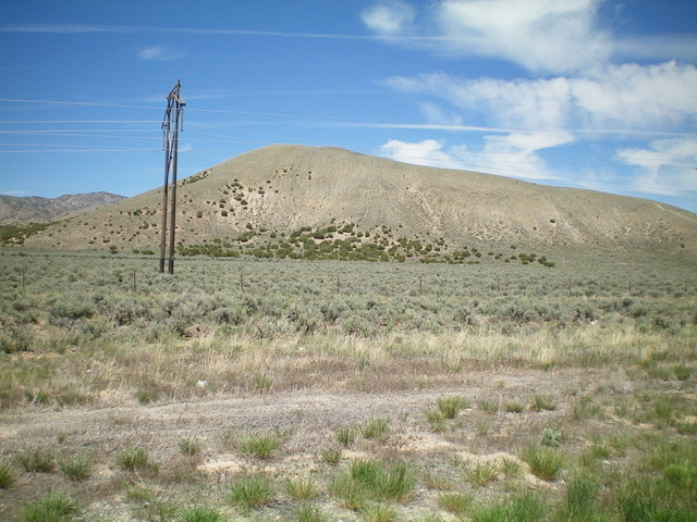
Peak 5986 as viewed from US-20 to the south. Livingston Douglas Photo
Access
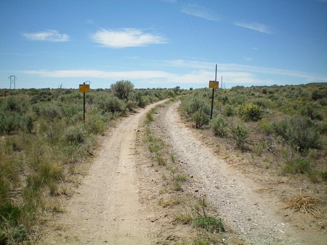
The “No Trespassing” signs on the jeep road heading west from the parking pullout. Livingston Douglas Photo
From the well-signed junction of US-20 and ID-33, drive north on ID-33 for 0.2 miles to a large pullout on the left/west side of the highway at a road junction. Park here (5,370 feet). This junction sits at the base of the south ridge. Do NOT hike west on the spur road as it is INL land and is clearly posted (see photo).
South Ridge, Class 2
The Climb
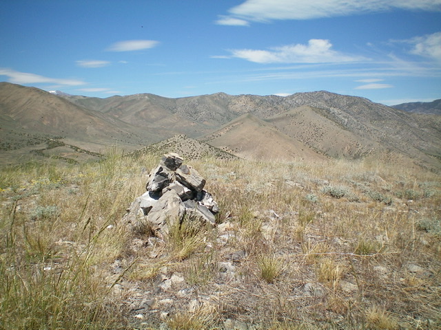
The newly-enhanced summit cairn atop Peak 5986, looking north. Livingston Douglas Photo
Scramble up a steep but easy open slope of short scrub/gravel to reach the crest of the south ridge and an old 2-track jeep road on the crest. Follow the old road to the summit. This climb is mostly Class 1 thanks to the old 2-track road (which is not shown on maps). The summit is wide open and had a small cairn so I enlarged it. The summit offers great views of US-20 and ID-33 as well as views of other scrub peaks to the north and northwest (the Arco Hills).
South Ridge/Southeast Shoulder, Class 2
The Descent
Just for some flavor, let’s descend a more challenging route than the ascent route. Descend the south ridge then the steep southeast shoulder (through some thick brush) to reach ID-33. Walk southwest along ID-33 to return to your vehicle.
Additional Resources
Regions: EASTERN IDAHO->Lost River Range
Mountain Range: Lost River Range
Longitude: -113.16689 Latitude: 43.61659