Elevation: 5,721 ft
Prominence: 341
This peak is not in the book. Published January 2023
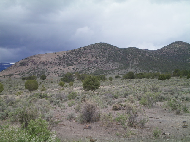
Peak 5721 is the southernmost of the ranked Cotterel Mountains. It is located on the north side of ID-77 east of Connor. This area is a mix of private and public land. The only reasonable public access is via its southeast side and the base of Rice Spring Road. This climb is entirely on BLM land. USGS Nibbs Creek
Peak 5721 (dead center) as viewed from the road junction to its southeast (start of climb). Livingston Douglas Photo
Access
From the “T” junction on ID-77 at Connor, drive east on ID-77 for 3.1 miles to [unsigned] Rice Spring Road (4,782 feet on USGS map). Park at the base of this road. This is NOT Rice Creek Road which is about 0.6 miles west of here on ID-77 and crosses a strip of private land (access may be an issue there). There is a lot of private land in this area, so consult a land management map to stay legal. This climb is entirely on BLM land.
South Ridge, Class 2
The Climb
From the road junction, bushwhack northwest across easy, open sagebrush then a mix of sagebrush and junipers. Cross three minor gullies and Rice Creek Road on the way. Visibility is good so just aim directly at the obvious summit of Peak 5721. Once across the Rice Creek drainage, angle left/west and scramble up the moderately-steep east side of the south ridge on an easy mix of scrub and scree. Once on the south ridge, follow it to the summit through a semi-open juniper forest. I rebuilt the torn-down summit cairn.
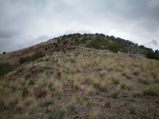
Looking up the south ridge at the juniper-clad summit of Peak 5721. Livingston Douglas Photo
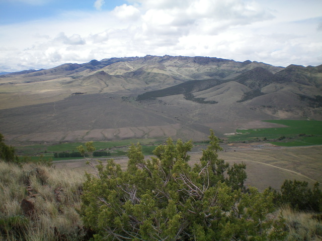
View of the Jim Sage Mountains from the summit of Peak 5721. Livingston Douglas Photo
East Face, Class 2
The Descent
From the summit, descend east down steep, loose talus/scree (with junipers and some areas of scrub/grass mixed in) to gentler terrain and a mix of junipers and sagebrush. Aim southeast and cross three dry gullies after crossing the Rice Creek drainage. Continue southeast through scattered junipers and gapped sagebrush to return to your vehicle at the road junction along ID-77.
Additional Resources
Regions: Albion Range->Cotterel Mountains->SOUTHERN IDAHO
Mountain Range: Albion Range
Longitude: -113.46249 Latitude: 42.28771