Elevation: 5,773 ft
Prominence: 353
This peak is not in the book. Published November 2022
Peak 5773 is located east of Rock Creek Road in the Smoky Mountains above Smith Creek. This area is entirely private land. However, ACCESS YES allows hikers to climb this beautiful peak. I highly recommend it. USGS Bellevue
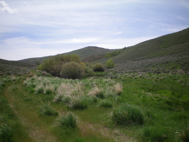
Peak 5773 as viewed from the west. Livingston Douglas Photo
Access
From US-20, drive 4.1 miles up Rock Creek Road to an unsigned junction with a 2-track road on the right/east side of the road with an ACCESS SIGN at its base. Park just before the gated road closure at the base of this road (5,005 feet). Only foot/horse traffic is allowed.
North Face, Class 2
The Climb
From the base of the 2-track road, hike east up the 2-track for about a mile to a meadow and a fork in the canyon and an unsigned road junction. Go right/south here, leave the road, and climb south up the obvious ridge through grass, scattered sagebrush, and other veg to reach the rocky summit. There is a nice cairn on top.
Northwest Shoulder, Class 2
The Descent
From the summit, descend northwest on an obvious shoulder in relatively easy veg. Drop right/north to Smith Creek and the 2-track road when the shoulder reaches a gully that forces you down to the creek. This side gully reaches Smith Creek just below a beaver pond at the toe of the shoulder. Cross a small stream to reach the 2-track road and then follow it left/west for about ½ mile back to the base of the road and your parked vehicle.
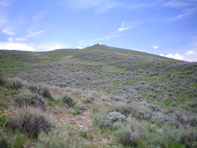
Peak 5773 and its north face (my ascent route). Livingston Douglas Photo
Additional Resources
Regions: Smoky Mountains->WESTERN IDAHO
Mountain Range: Smoky Mountains
Longitude: -114.37289 Latitude: 43.38459