Elevation: 5,817 ft
Prominence: 442
This peak is not in the book. Elevation and prominence figures are based on recent LiDAR updates. The USGS quad shows an elevation of 5,788 feet. Published March 2026
Peak 5817 sits east of the Salmon River and is just southeast of the junction of US-93 and ID-75 south of Challis. This is the second leg of a 2-peak adventure that includes Peak 5727 and Peak 5817. The journey covers 6.0 miles with 1,525 feet of elevation gain round trip. Due to extensive private property in this area, Peak 5817 is difficult to reach on public land. This climb is entirely on BLM land so stay on course and carry a land management map with you. USGS Bradbury Flat
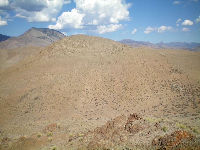
The summit hump of Peak 5817 (just left of center) as viewed from the east. Livingston Douglas Photo
Access
Same as for Peak 5727. This is the second leg of a 2-peak journey.
Southeast Ridge, Class 2
The Climb
From the 5,380-foot connecting saddle at the base of Point 5731, do a cross-country trek northwest across sagebrush slopes on the south side then west side of Point 5731. Cross a wide, dry gully to reach the broad southeast side of Peak 5817. Head north up onto the crest of the southeast ridge. Follow the easy ridge northwest then head left/southwest to the summit.
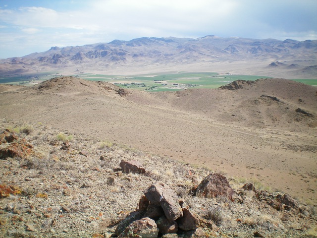
Looking north from the summit at the ranches in the valley below. Livingston Douglas Photo
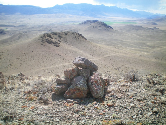
The newly-built summit cairn atop Peak 5817. Livingston Douglas Photo
The Descent
From the summit, return to the connecting saddle. From the saddle, head southeast up a sagebrush gully to a saddle southwest of Peak 5727. Contour around to the east side of the peak and descend northeast to a dry gully. Follow the gully east to Warm Spring Road. Hike 0.3 miles north on the road to the cattle guard and your parked vehicle.
Additional Resources
Regions: Boulder Mountains->EASTERN IDAHO
Mountain Range: Boulder Mountains
Longitude: -114.18328 Latitude: 44.45192