Elevation: 5,842 ft
Prominence: 332
This peak is not in the book. Published November 2021
Peak 5842 is an impressive open summit on a long north-south ridge that towers over Spud Patch Road to its west. It is an easy climb from Spud Patch Road that covers 3.5 miles with 850 feet of elevation gain round trip. USGS Gannett
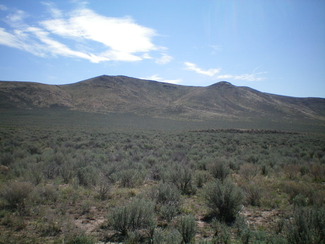
Peak 5842 (summit is left of center) as viewed from the west, near Spud Patch Road. Livingston Douglas Photo
Access
Spud Patch Road is located along ID-75 exactly 1.2 miles south of the ID-75/US-20 junction. Drive east then southeast up [signed] Spud Patch Road for 2.6 miles to an unsigned road junction. Park in a large parking area at this junction (4,995 feet on the USGS map).
West Face/West Shoulder, Class 2
The Climb
The summit of Peak 5842 is obvious and is almost due east of this junction. The terrain is open and is not difficult. From the road junction, cross to the east side of Spud Patch Road and bushwhack east across a field of sagebrush, aiming directly at the summit hump. Find a man-made pond that is shown on the USGS map (it will be on your right/south side) and follow a cattle trail leading from the pond’s north side directly at the summit. This cattle trail expedites the climb up through the sagebrush slope to reach the sagebrush-free west shoulder. Scramble up the steep, grassy shoulder up to rockier terrain and more of a face. Once on the summit ridge, it is a short scramble south/right to the summit boulders.
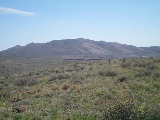
View of the antenna-clad high point of Picabo Hills from the summit. Livingston Douglas Photo
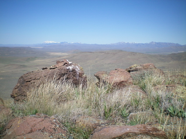
The summit boulders atop Peak 5842. Livingston Douglas Photo
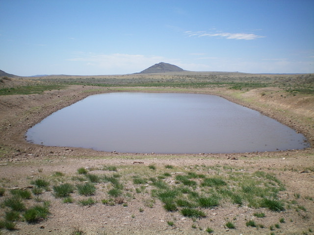
A man-made pond (shown on maps) along the West Face Route. Livingston Douglas Photo
Additional Resources