Elevation: 5,910 ft
Prominence: 400
This peak is not in the book. Livingston Douglas added a photo. Updated November 2022
This is the southwestern-most Soldier Mountains summit and is a long way from the main Soldier Mountains Crest. Theoretically, this peak can be climbed from any direction. However, the range fence along the road is built in a fashion that makes it difficult to cross over or slide under. Thus, I recommend the route set out below. USGS High Prairie
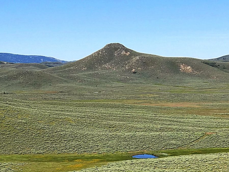
Peak 5910 as viewed from the northeast.
Access
From the I-84/US-20 Exit, drive 31.9 miles on US-20 to the junction with the Featherville Highway (FH-61). Turn north and follow the paved road 4.1 miles to its junction with the High Prairie Road. Turn right and follow the High Prairie Road southeast for 0.7 miles. Turn right onto a two-track road. The road quickly passes through a gate by a corral. Go through the gate and park.
East Slopes, Class 2
From the corral, simply head west aiming for the summit ridge just south of the high point. There is a lot of sagebrush but no other obstacles. When the slope steepens, you may find a faint game trail to follow. Just below the summit, you will encounter a few rocky slabs which can be bypassed on the left side.
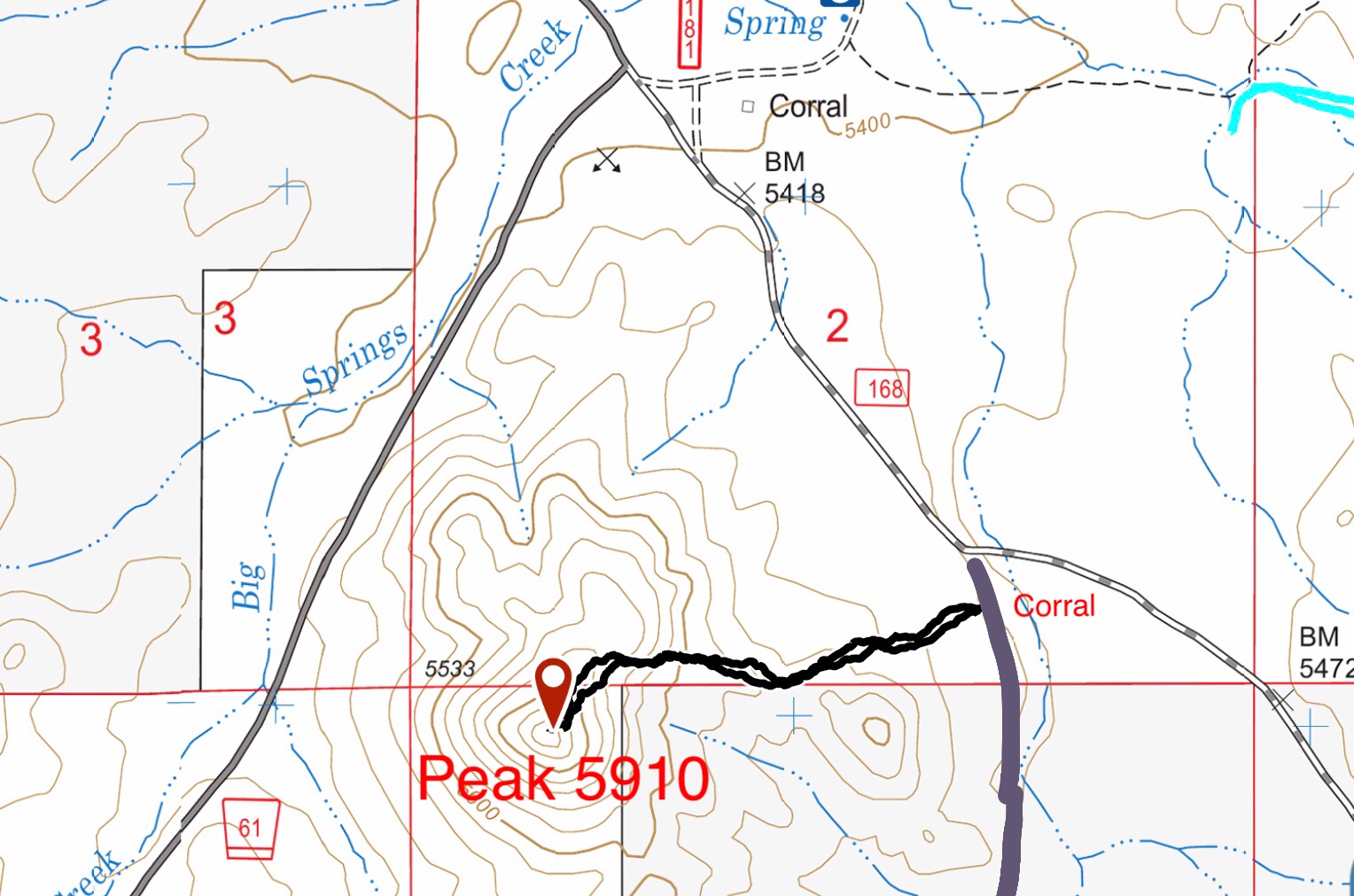
My GPS track for Peak 5910. My round-trip route covered 1.3 miles with 377 feet of elevation gain.
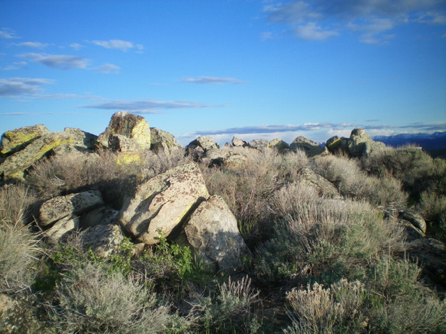
The summit boulders atop Peak 5910. Livingston Douglas Photo
Additional Resources
Regions: Soldier Mountains->WESTERN IDAHO
Mountain Range: Soldier Mountains
Year Climbed: 2019
Longitude: -115.24139 Latitude: 43.35689