Elevation: 5,950 ft
Prominence: 340
This peak is not in the book. Published November 2020
Peak 5950 is a ranked summit that is located along ID-47 southeast of Island Park. It sits above the ski runs at the Bear Gulch Ski Area. Peak 5950 is most easily climbed via a powerline service road that comes up from ID-47 to its south.
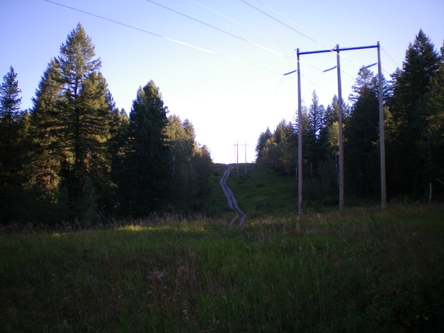
Looking north up the powerline service road as it climbs the south ridge of Peak 5950. The summit is to the left of the road’s high point dead ahead. Livingston Douglas Photo
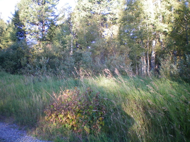
The thick forest/brush of the summit area of Peak 5950 as viewed from the nearby powerline service road. Livingston Douglas Photo
Access
Park at a scenic overlook/pullout on the right/east side of ID-47 where the road crests (5,770 feet). This pullout is southeast of Peak 5950 and is south of the Bear Gulch Campground and Ski Area. It is about 0.4 miles northeast of the junction with the [unsigned] powerline service road (left/west side of the highway).
East Face/South Ridge, Class 2
The Climb
From the parking pullout, bushwhack west through a forest thick with brush to intercept the powerline service road. Hike right/north up the service road below the powerlines to slightly beyond its crest. Leave the road and bushwhack left/northwest to reach the elusive high point of Peak 5950. It is NOT near the ski runs. It is on the west side of the summit plateau, as per the USGS topo map. The high point is in a forest thick with brush/veg and offers no visibility.
Additional Resources
Regions: Centennial Range->EASTERN IDAHO
Mountain Range: Centennial Range
Longitude: -111.29069 Latitude: 44.14669