Elevation: 5,964 ft
Prominence: 504
This peak is not in the book. Published November 2020
Peak 5964 is situated just south of Ireland Canyon and ID-38. It is just east of the north end of the North Hansel Mountains. Peak 5964 has a mix of private and public land surrounding it. The summit is on private land but I found no fences, orange paint, or signage prohibiting entry. Most of the southwest ridge climb is on BLM land. USGS Sheep Creek Spring
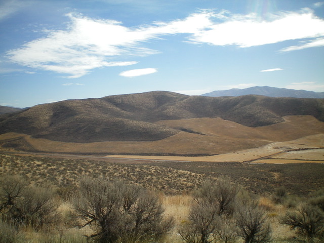
Peak 5964 (dead center) as viewed from the northwest. Livingston Douglas Photo
Access
Ireland Canyon Road (signed) is located 3.8 miles west of Holbrook Summit on ID-38. It is mis-labeled as “Pocatello Valley Road” on the USGS topo map. Drive 1.3 miles south on Ireland Canyon Road to a sharp right/south turn. Park in a grassy pullout at this road turn (5,325 feet).
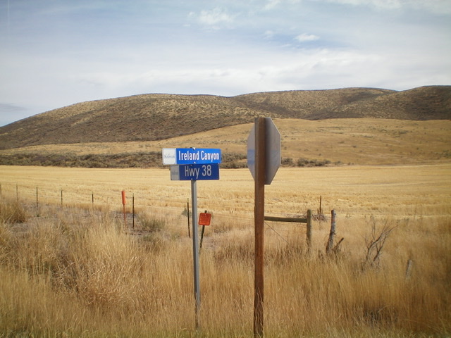
Peak 5964 (summit is right of center on the skyline) as viewed from the junction of ID-38 and Ireland Canyon Road to the northwest. Livingston Douglas Photo
Southwest Ridge, Class 2
The Climb
From the parking pullout, bushwhack east then northeast through somewhat tedious sagebrush. Stay left/north of a fence row that comes up from the road. The ridge is better defined higher up and the terrain becomes a combination of easy scrub and short grass. Follow the ridge northeast to the gentle summit. There is a 30-foot dip along the ridge on the way to the summit. The summit of Peak 5964 is a combination of scrub and scattered patches of sagebrush. There is no summit cairn on top and no loose talus with which to build one.
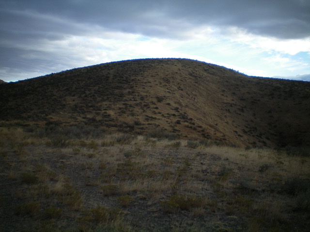
The summit hump of Peak 5964 as viewed from high on the southwest ridge. Livingston Douglas Photo
Additional Resources
Regions: Bannock Range->Pleasantview Hills->SOUTHERN IDAHO
Mountain Range: Sublett Range
Longitude: -112.50509 Latitude: 42.15439