Elevation: 5,970 ft
Prominence: 390

This peak is not in the book. Published November 2023
Peak 5970 is the high point on a ridge that separates Ditch Creek from the North Fork Salmon River. It is most easily climbed via its west side from FSR-093. USGS Gibbonsville
Access
From US-93 north of North Fork, turn left/west onto [signed] Hughes Creek Road/FSR-091. This junction is located 5.3 miles south of Gibbonsville Road and 5.3 miles north of North Fork. Reset your odometer at this junction. At 2.1 miles, reach a signed junction with FSR-089/Ditch Creek Road. Go right/north onto Ditch Creek Road and drive 1.1 miles to a signed junction with FSR-093. Turn right/east onto FSR-093. At 0.4 miles, bear right at a signed junction to stay on FSR-093. At 0.9 miles, reach a roadside pullout. Park here (4,990 feet; 45⁰31’03”N, 113⁰58’55W).
West Shoulder, Class 2
The Climb
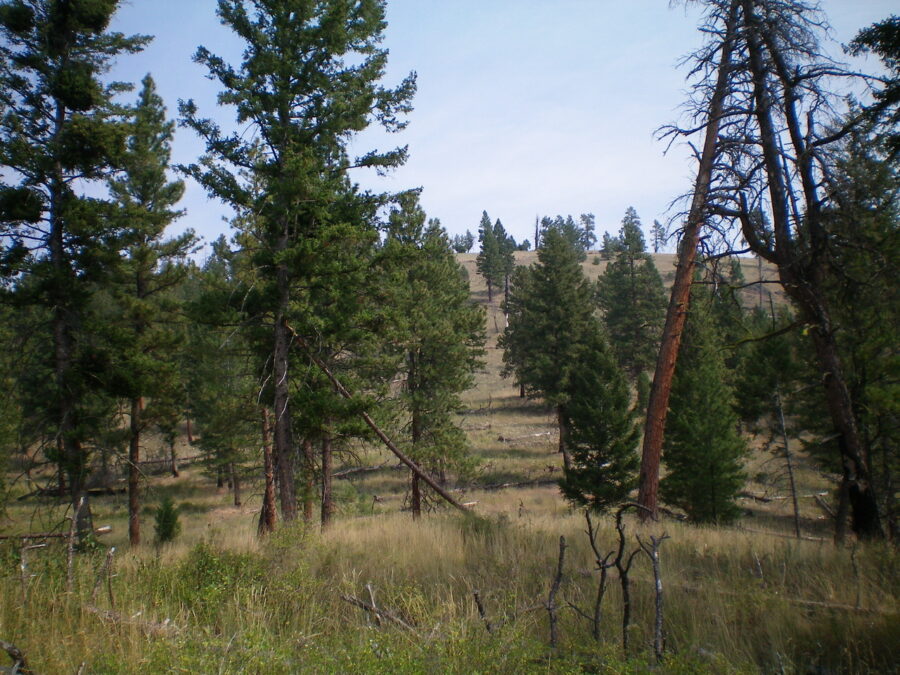
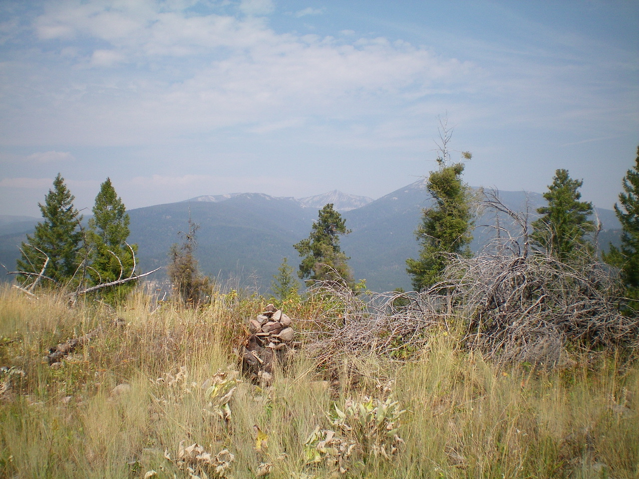
From the roadside pullout, scramble east up a semi-open shoulder of grass/scrub and scattered pines. Continue east then left-ish/northeast to reach the summit. The summit is open and provides nice views. It had no summit cairn so I built a decentone. There are flattish sections and some steep-ish sections on this route. There are some areas where the scrub/grass and deadfall are a bit more tedious but, overall, the climb is pretty straightforward and presents no problems.
Southwest Shoulder, Class 2
The Descent
From the summit, descend the southwest shoulder in semi-open terrain with scattered pines and grass/scrub. There is some loose underlying scree/gravel occasionally but nothing too serious. Reach FSR-093 at an unsigned road junction (shown on the USGS topo map). Hike north down FSR-093 for about 0.3 miles to return to the roadside pullout.
Additional Resources
Regions: Bitterroot Mountains->NORTHERN IDAHO
Mountain Range: Bitterroot Mountains
Longitude: -113.9698 Latitude: 45.5185

