Elevation: 5,985 ft
Prominence: 332
This peak is not in the book. Published April 2018
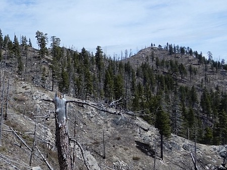
Peak 5985 is located in the rugged, steep country rising above the West Side of the South Fork Salmon River. It is east of Teapot Mountain. John Platt and John Fadgen climbed the peak in early April 2018. John Platt’s trip report is linked below. USGS Fitsum Peak
Peak 5985 is on the far right. John Platt Photo
Access
Access the peak from the South Fork Salmon River at Buckhorn Creek [(C)(1.1) on Page 139]. FST-096 runs west up Buckhorn Creek and eventually reaches a junction with FST-095. FST-095 climbs up and over the ridge dividing Buckhorn Creek from the West Fork Buckhorn Creek. This trail reaches the ridge crest at 5,653 feet, due west of the summit of Peak 5985.
South Face Route, Class 2+
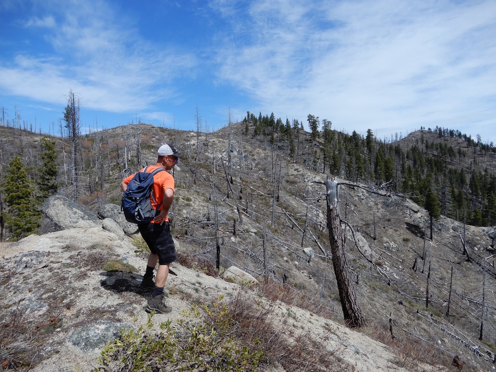
The two Johns mountain biked up FST-096. When they ran into snow, they abandoned their bikes and climbed up the peak’s South Face and joined the summit ridge west of the summit. Their GPS track is set out below. Their round-trip stats: 10.6 miles with 2,653 feet of elevation gain.
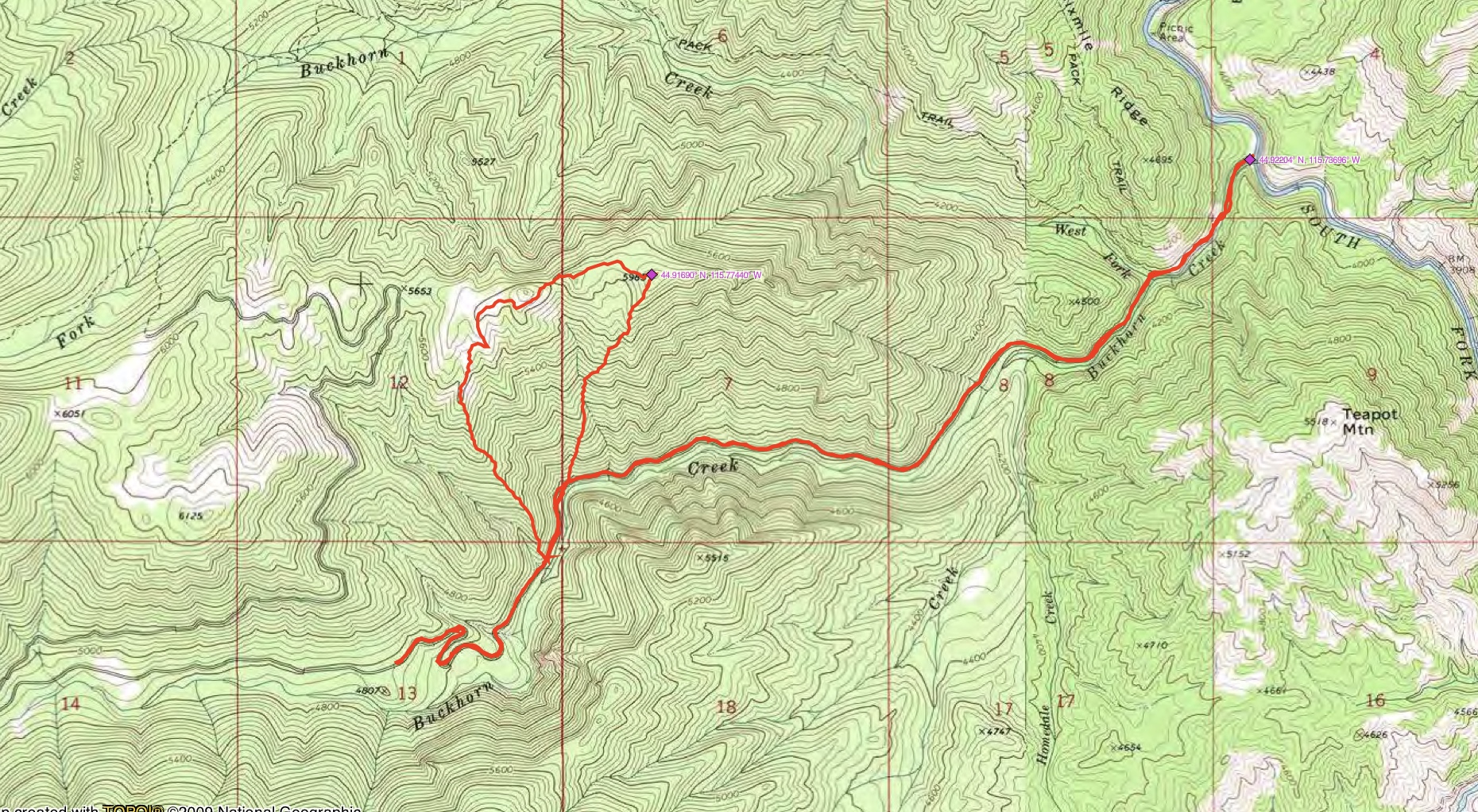
John Platt’s GPS track.
Additional Resources
Mountain Range: Western Salmon River Mountains
Longitude: -115.77439 Latitude: 44.91689