Elevation: 6,105 ft
Prominence: 325
This peak is not in the book. Published November 2023
Peak 6105 is a pyramidal hump that towers over the confluence of Allan Creek, Hughes Creek, and the West Fork Hughes Creek in the Bitterroot Mountains. It is most easily reached via FSR-088 which skirts the base of the west ridge. A short scramble leads to the top. USGS Allan Mountain
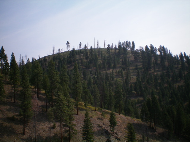
Peak 6105 as viewed from the southwest. Livingston Douglas Photo
Access
From US-93, turn left/west onto [signed] Hughes Creek Road/FSR-091. This junction is located 5.3 miles south of Gibbonsville Road and 5.3 miles north of North Fork. Reset your odometer at this junction. At 2.1 miles, reach a signed junction with FSR-089/Ditch Creek Road. Go straight on FSR-091. At 3.8 miles, reach a signed junction with FSR-088/West Fork Hughes Creek Road. Go left onto FSR-088 and drive 2.9 miles to a sharp left/west turn in the road at a small saddle. Park in a small pullout area here (5,780 feet; 45⁰31’21”N, 114⁰03’43”W).
West Ridge, Class 2
The Climb
From the small saddle, bushwhack steeply east up through thick brush, willows, deadfall, and snags to reach the semi-open summit area. The high point is to the left/north on an obvious hump as the USGS topo map indicates. There was no cairn on top so I built a decent one on the high point. The summit offers decent views of the surrounding area.
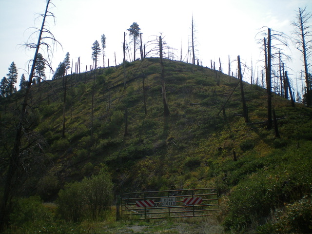
Peak 6105 as viewed from the base of the west ridge (start of climb). Livingston Douglas Photo
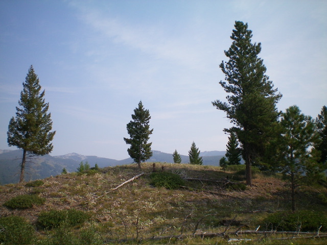
The summit hump of Peak 6105. Livingston Douglas Photo
Additional Resources
Regions: Bitterroot Mountains->NORTHERN IDAHO
Mountain Range: Bitterroot Mountains
Longitude: -114.0580 Latitude: 45.5222