Elevation: 6,125 ft
Prominence: 474
This peak is not in the book.
Thorn Peak is located roughly 3.0 miles south of Idaho City at the head of Grayback Gulch and north of Thorn Creek. To reach the summit from ID-21, turn east on Thorn Creek Road/FS-377 and follow it east to its junction with FS-389. FS-389 heads up North Fork Thorn Creek to the obvious 5,640+ foot saddle at the top of the North Fork (NF) Thorn Creek drainage in approximately 10 miles. Park here for each of the two routes described below. USGS Idaho City
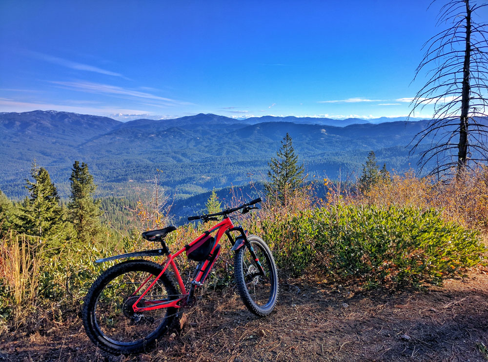
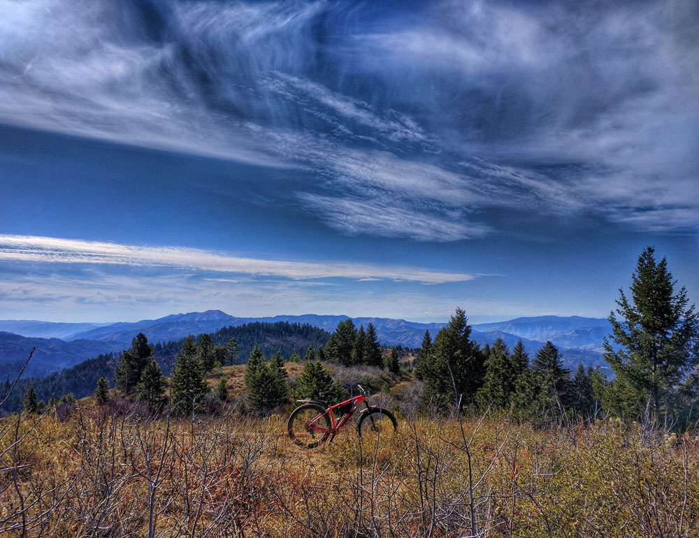
There are spectacular views along the ridge to Thorn Peak. Erik Pohlmann Photo
North Fork Route, Class 1-2
From this point, hikers can follow the summit ridge cross-country west approximately a mile to the peak. Be sure to stay on the South Side of the ridge prior to reaching Point 6113, as the North Side is choked with brush up to this point. After Point 6113, simply follow the old jeep road along the ridge, which traverses close to the summit.
Alternatively, for a less adventurous but longer approach, hikers can walk dirt roads from the saddle for approximately 2 miles all the way to the summit. Start by heading downhill to the north on Thorn Creek Road. You will run into an intersection within a 0.25 mile or so. At that point, go left. It may be possible to drive this route, but I believe there is a gate here and am unsure when/if it’s closed, and the same can be said for other roads in the area. Keep following this dirt road and turn left at the next 3 intersections until reaching the summit.
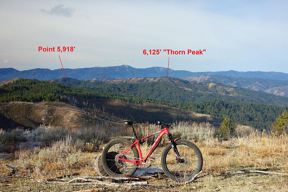
If you have time (and for the best views and ridge traverse experience), I highly recommend continuing the easy hike past the summit and then following the broad rolling ridge south towards Point 5918, which could easily double the length and enjoyment of this outing. For the more adventurous and dedicated explorer, accessing the peak from the southwest may result in a better experience, but this takes a lot more commitment. The expansive views from this ridge are potentially the highlight of the area and include the majority of the West Boise Mountains: the entirety of Boise Basin and the roughly 40-mile long, prominent Boise Ridge to the West; Mount Heinen and much of the Danskins to the South; and the entirety of Thorn Creek Butte to the East.
Thorn Peak as viewed from the slopes of Thorn Creek Butte. Erik Pohlmann Photo
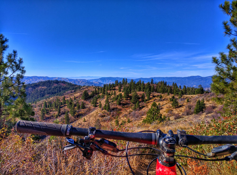
Looking north towards Sunset Mountain from Point 6113 along the East Ridge. Erik Pohlmann Photo
Summit view looking towards the broad rolling South Ridge. Erik Pohlmann Photo
Looking south from Point 6042 along the broad rolling South Ridge. Erik Pohlmann Photo

Looking south from Point 5811 along the broad rolling South Ridge. Erik Pohlmann Photo
Looking south from Point 5918 at the South End of the broad rolling South Ridge. Erik Pohlmann Photo
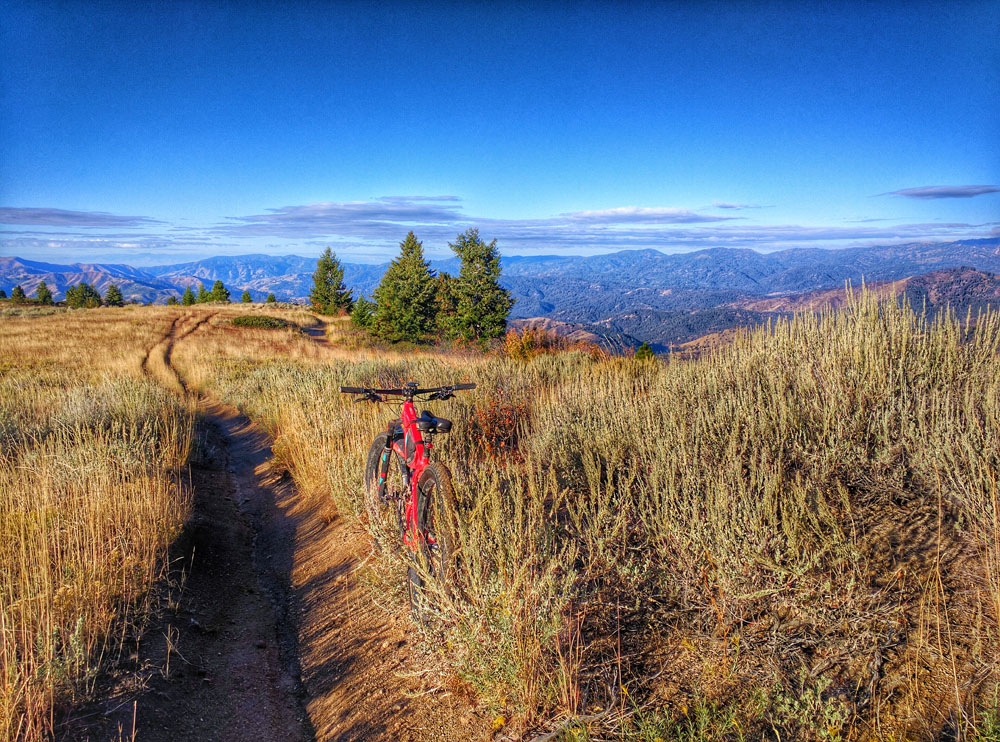
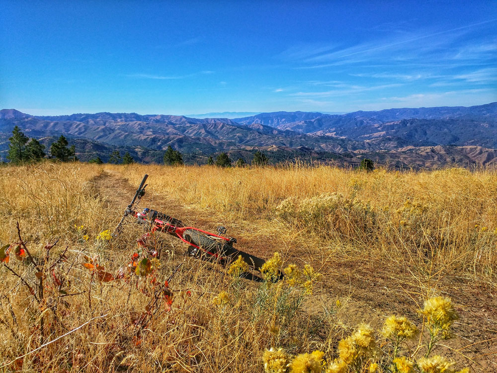
One of the many fun bike-able trails on the West Side of the South Ridge. In this case, the New Yorker-Greenland Gulch Trail/FST-118. Erik Pohlmann Photo
Recommended Mountain Bike Loop
From ID-21, drive east on Thorn Creek Road for 1.4 miles until reaching an intersection with a dirt parking lot on the northwest corner. Park here (sorry, I can’t recall the name of this dirt road/intersection) then pedal up Thorn Creek Road, taking the described alternate dirt-road route to the summit (as described above). Now the fun begins!
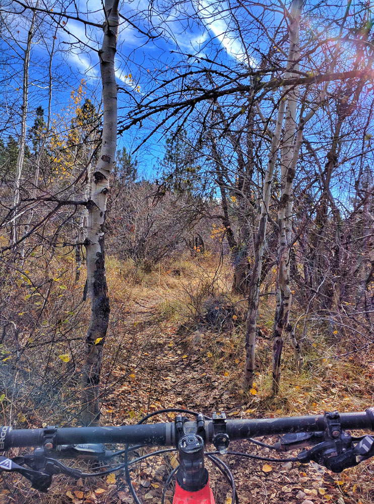
Head south on single track FST-117 and enjoy the flow. Follow FST-117 up the small ~100-foot hike-a-bike section to Point 5918 and enjoy the view. Continue following the trail, which quickly heads east. Stay right at the next intersection and descend the south leg of Johnny Woods-Placer Creek Trail/FST-119. Be sure to stay right at all intersections, avoiding accidentally descending Motorcycle Trail/FST-121, and eventually Johnny Woods-Placer Creek Trail/FST-119 drops into namesake Placer Creek itself. Continue following the trail adjacent to the creek, which eventually becomes an unofficial trail and is vacant from any maps, until you reach the obvious, well-maintained dirt road (again, the name of the dirt road escapes me). Follow the road back to where you parked. Round-trip stats: 15 miles with about 3,000 feet of elevation gain. Some sections of the trail are steep and chunky, but in general it’s a wonderfully fast and flowy ride with great scenery.
The link below for my Strava trip report and GPS track does not cover my recommended bike route. I have included the track to demonstrate that there are a lot of possible riding routes of varying difficulties available in this area.
Additional Resources
Regions: Boise Mountains->WESTERN IDAHO
Mountain Range: Boise Mountains
Longitude: -115.83569 Latitude: 43.77819