Elevation: 6,131 ft
Prominence: 351
This peak is not in the book. Published August 2019
Peak 6131 is located east of Hayden Peak and the main Silver City Range Crest. USGS Toy Pass
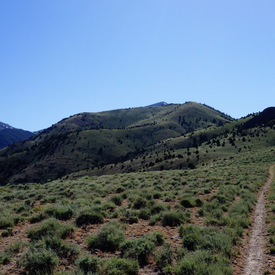
Peak 6131. Paul Leclerc Photo
Access
See the access section on the Red Mountain page for directions.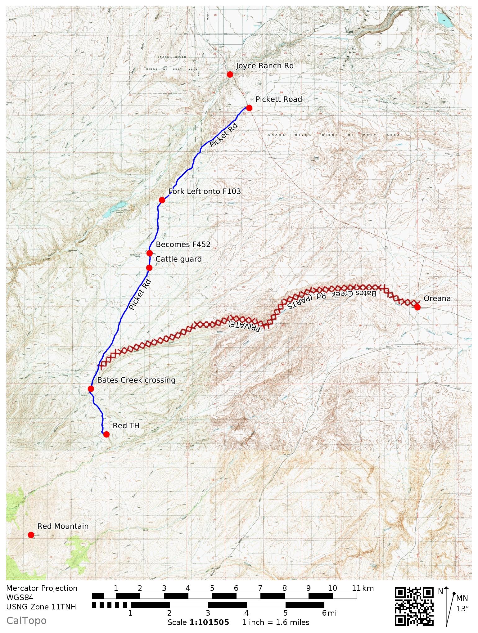
Northeast ridge, Class 1-2 by Paul Leclerc
I climbed this peak on 6/23/2019 from the Red Mountain trailhead. From the starting point, follow the road southeast for about 0.3 miles until you reach Road C206 on the right. The sign designating C206 was down on the ground when I was there, so you may miss it. Follow C206 to its end in about 2.1 miles. You will cross a gate at the 1-mile point.
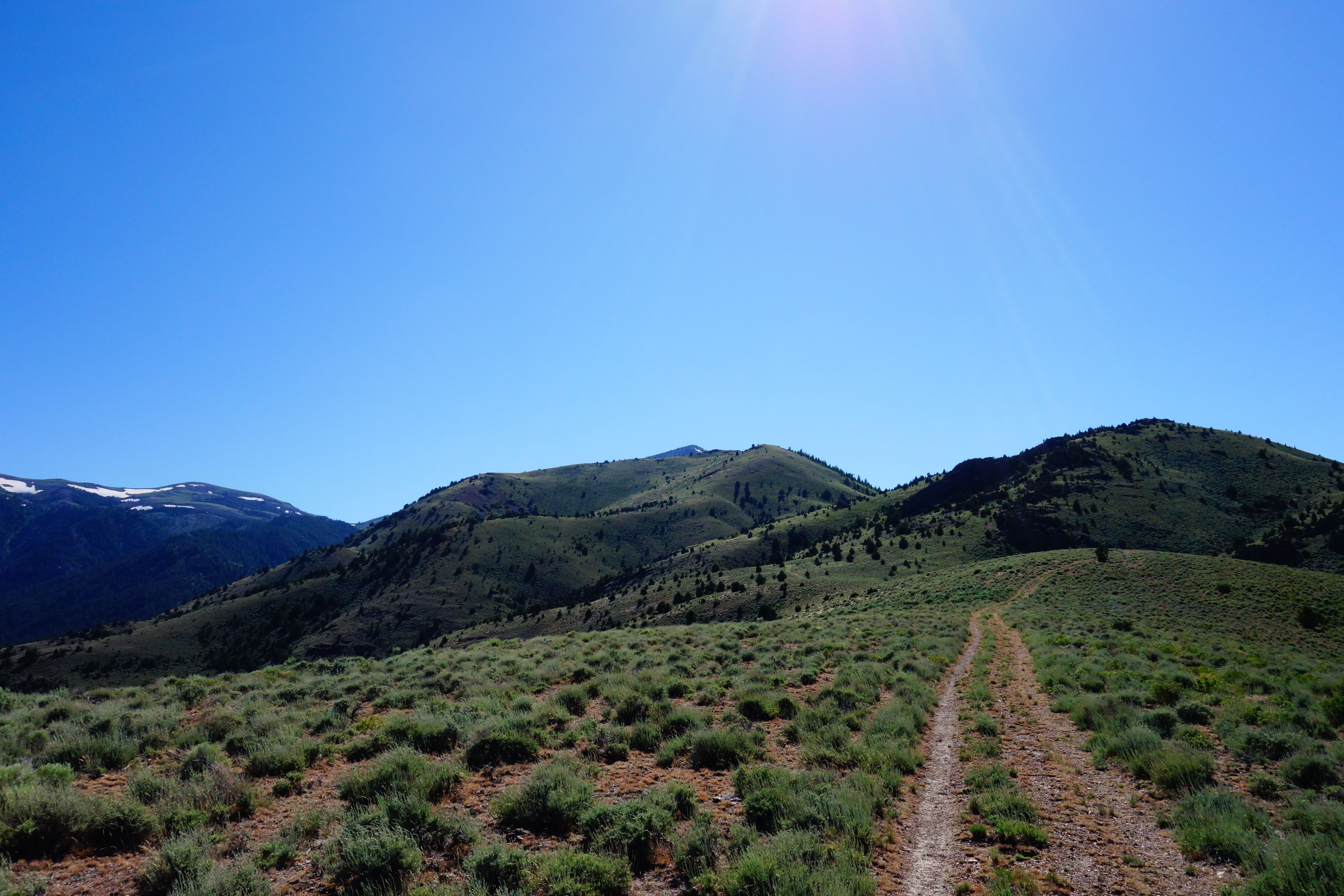
Road C206 leading to Peak 6131 (in center). Paul Leclerc Photo
From the end of the road, gain the ridge and approach the slightly-steeper section just north and east of the summit. Depending upon your route along the way, you may have to crawl under several fences. After hiking up the steep part, it flattens out and the approach to the summit is pretty mild. Use your GPS to find the exact summit since there are a few false summits.
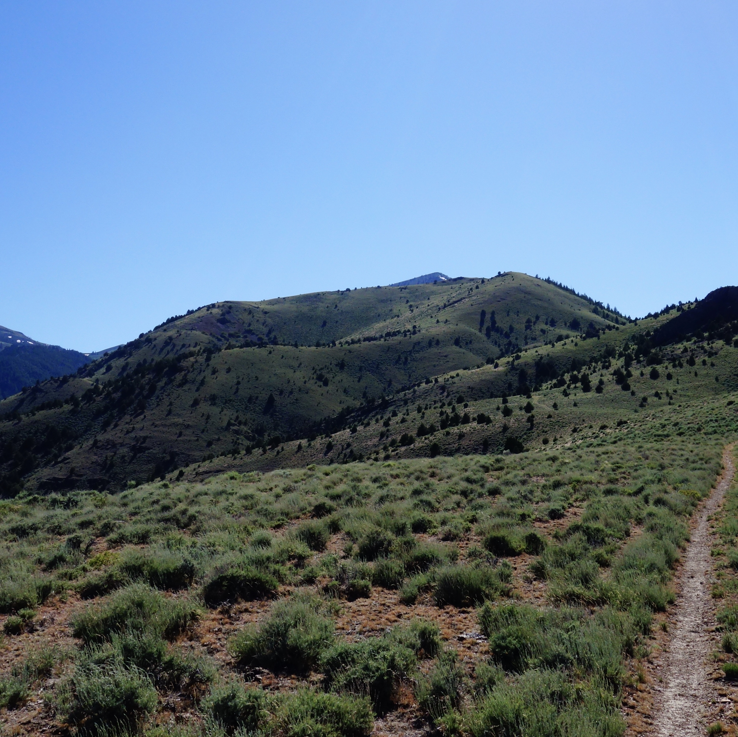
As with its neighbors, Red Mountain and Lead Mountain, the views from Peak 6131 are awesome. From the summit, you can see the major peaks of the Owyhees: Hayden Peak, Turntable Mountain and Quicksilver Mountain. Trip stats: 3.4 miles with 2,050 feet of elevation gain one-way; 6.9 miles with 2,190 feet of elevation gain round trip.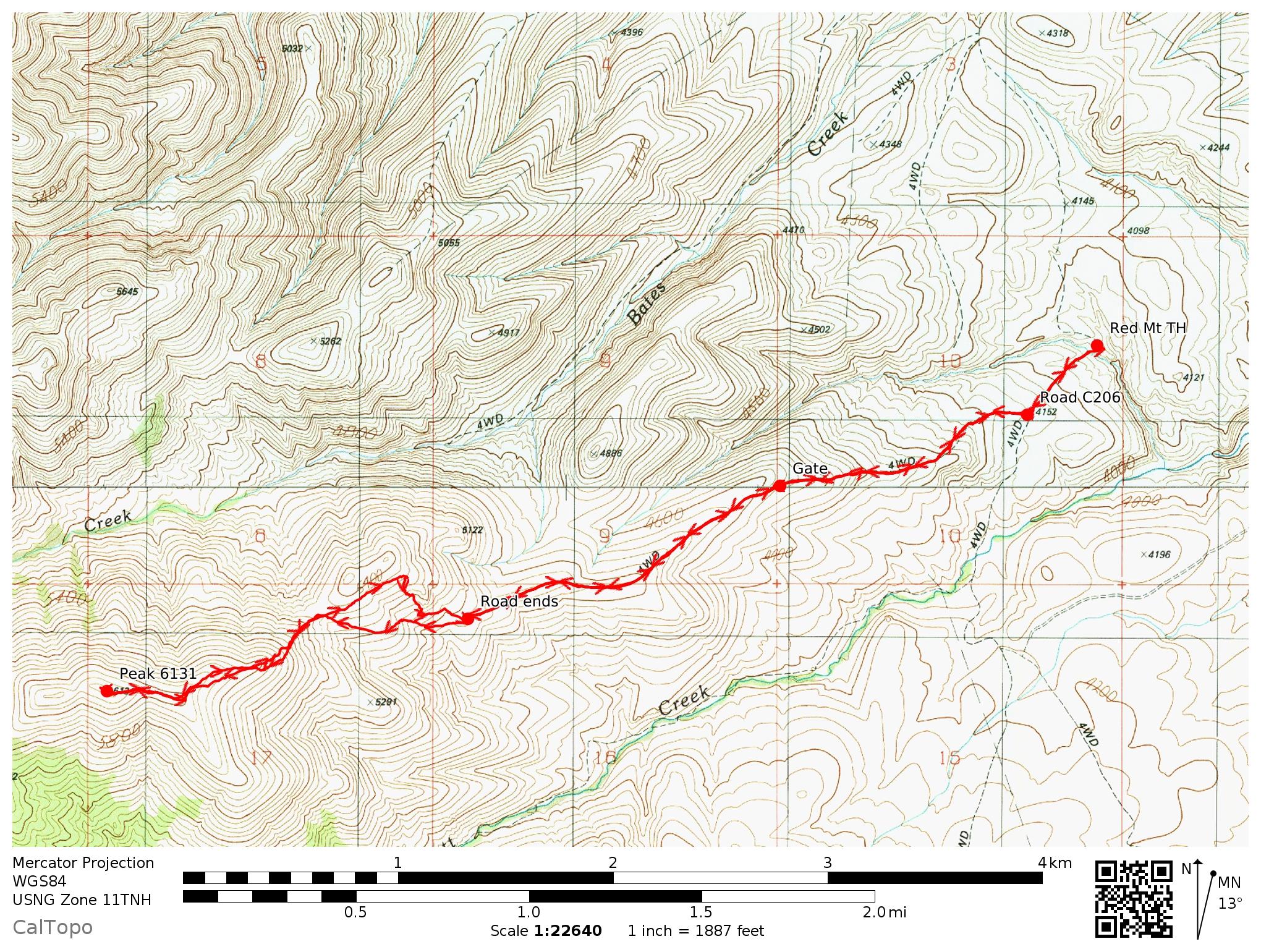
Additional Resources
Regions: Owyhee Mountains->Silver City Range->SOUTHERN IDAHO
Mountain Range: Owyhee Mountains
Longitude: -116.6109 Latitude: 42.99139