Elevation: 6,150 ft
Prominence: 338
This peak is not in the book. Published November 2020
Peak 6150 is the high point of a sagebrush-covered hill that sits just above Holbrook Summit and to its south. The east summit (6,150 feet) is higher than the west summit (6,016 feet). Peak 6150 is easily reached via BLM-678, an ATV trail/road that heads south-southeast from Holbrook Summit to the 5,940-foot saddle between the east summit and the west summit. USGS Ireland Springs
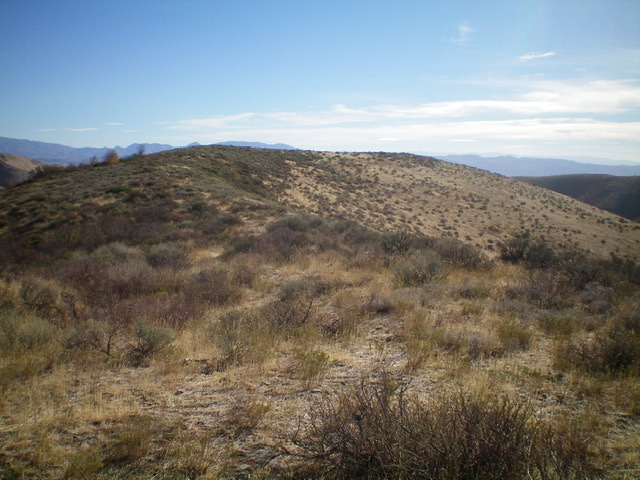
Looking east at the curved summit plateau of Peak 6150 from high on the east ridge. The high point is left of center in the thick sagebrush. Livingston Douglas Photo
Access
Park at Holbrook Summit on ID-38 west of Malad City. The elevation at Holbrook Summit is 5,812 feet according to the USGS topo map. However, the large road sign atop Holbrook Summit puts the elevation at over 6,100 feet which is WRONG.
West Ridge, Class 2
The Climb
This climb is mostly Class 1. From Holbrook Summit, follow BLM-678 (signed) south-southeast up to a ridge saddle at 5,940 feet. Please note that BLM-678 is NOT shown on maps. Leave the ATV trail/road and follow an old 2-track road east up the ridge crest (also not shown on maps) to a high point just west of the summit plateau. The road ends here. Follow a use/cattle trail east along the ridge crest through thick sagebrush and brush.
The ridge curves to the left and then back to the right to reach the summit area. Bushwhack a final ridge section to reach the sagebrush-covered summit plateau. As per the USGS topo map, the high point is at the northwest end of the summit plateau. I investigated the entire summit plateau and found that the southeast end is of equal height but it appears to be slightly lower. There is no summit cairn anywhere up here.
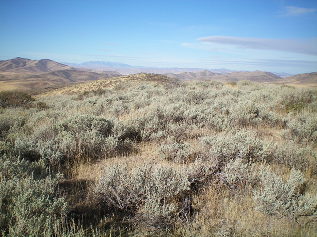
Looking down the west ridge from the summit of Peak 6150. Livingston Douglas Photo
Additional Resources
Regions: Pleasantview Hills->SOUTHERN IDAHO
Mountain Range: Pleasantview Hills
Longitude: -112.16169 Latitude: 42.16160