Elevation: 6,191 ft
Prominence: 291
This peak is not in the book. Published November 2020
Peak 6191 is situated between Wood Canyon to the north and Ireland Canyon to the south. It can be most easily climbed from Wood Canyon Road but it can also be climbed from ID-38 to its south. Climb it in combination with nearby Peak 6306 to make for a more worthwhile endeavor. Be aware of the mix of public land and private ranch land near ID-38. The two routes discussed below are both entirely on public land. Be very careful to not wander too far east or you will quickly be on private ranch land. USGS Sheep Creek Spring
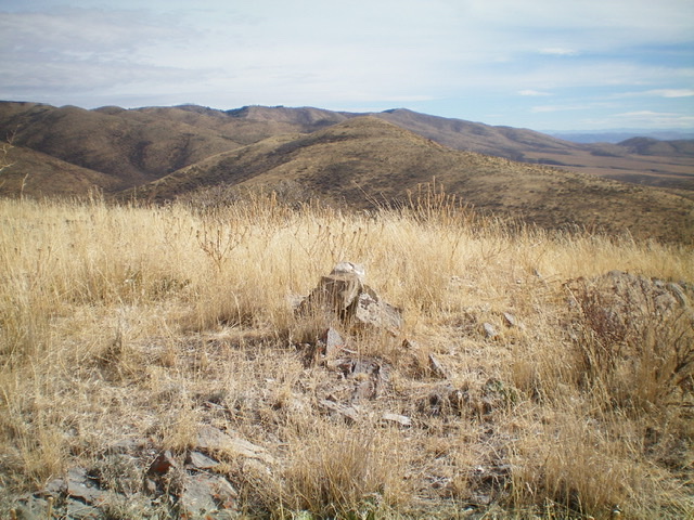
Peak 6191 as viewed from the summit of Peak 6306 to the east. The summit is the hump left of center in mid-ground. Livingston Douglas Photo
Access
Bull Pasture (shown on maps) is located just across ID-38 from [signed] Ireland Canyon Road. The junction of ID-38 and Ireland Canyon Road is exactly 3.8 miles west of Holbrook Summit. The elevation at this road junction is 5,144 feet. Park along ID-38 on the north side of the highway alongside the cattle fence that encloses Bull Pasture.
Southeast Ridge, Class 2
The Climb
Bull Pasture is on unsigned public land and is fenced by a 5-strand, tight, high cattle fence that is impossible to straddle. You must find a corner or gate to climb over it. On the ascent, I walked west along the fence until I found a gate to cross it. On the descent, I crossed it at a gate that was near the southeast corner of Bull Pasture. Either one works. Once across the cattle fence, bushwhack west through TALL sagebrush (5-7 feet tall) up a slope that leads to a ridge which heads north and soon crosses underneath a set of power lines (shown on the USGS topo map).
Follow the ridge north then northwest up through sagebrush and other brush using cattle trails and gaps to expedite the climb. There are a few ridge humps to go over on the way. The ridge finally turns north to reach a final saddle. Scramble north from that saddle to reach the summit of Peak 6191. There was no summit cairn so I built a small one.
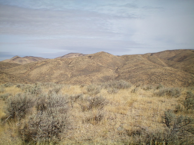
Looking up the southeast ridge of Peak 6191. The elusive summit is not yet in view. Livingston Douglas Photo
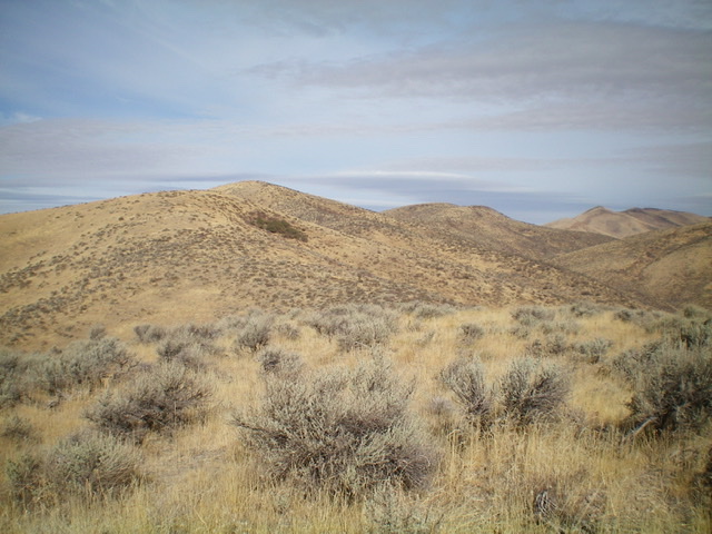
The final push up the southeast ridge of Peak 6191. The summit is just left of center. Livingston Douglas Photo
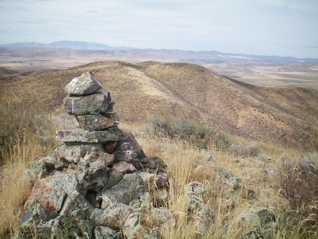
The newly-built summit cairn atop Peak 6191, looking north. Livingston Douglas Photo
East Ridge, Class 2
The Descent
From the summit, descend east-northeast then right/southeast to reach the 5,900-foot connecting saddle with Peak 6306. The terrain on this descent is sagebrush with loose underlying scree. It is a bit tedious due to the thickness of the sage. There are no cattle trails to help. Thankfully, the east ridge is quite short. This concludes the first leg of today’s two-peak journey. Peak 6306 is up next.
Additional Resources
Regions: Pleasantview Hills->SOUTHERN IDAHO
Mountain Range: Pleasantview Hills
Longitude: -112.54569 Latitude: 42.18729