Elevation: 6,216 ft
Prominence: 436
This peak is not in the book. Updated November 2023
Peak 6216 is a hill that towers over the townsite of Ellis, ID. It is overshadowed by higher Lemhis to its east. Peak 6216 is, essentially, a ridge hump (albeit a ranked one) on the meandering west ridge of Peak 8420. This west ridge mimics the twists and turns of the nearby Salmon River! The easiest ascent route for Peak 6216 is the south ridge/face from Ennis Gulch Road. Private land along US-93 and the Pahsimeroi Highway blocks most access points to the BLM land that comprises about 98% of this peak. USGS Ellis
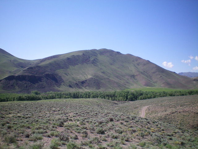
Peak 6216 as viewed from the northwest. Livingston Douglas Photo
North Spur/West Ridge, Class 2
Access
Deer Gulch Bridge (and informal campground) is located 0.9 miles north of Ellis, ID on US-93. Drive west across the bridge and park in the campground parking area. The elevation at the camping area is 4,645 feet.
The Climb
From the informal campground, walk east across the bridge to reach US-93. Walk south on US-93 for about 100 feet. Cross to the east side of the highway and climb southeast up a very steep scree/gravel/scrub slope, crossing a cattle fence early on. According to the Salmon-Challis National Forest Map, this is all BLM land but be careful because there are private ranches both to the north and south of this point. There is no signage prohibiting entry onto this steep slope.
After 250 vertical feet of steep scrambling, reach the narrow north spur of the west ridge of Ellis Hill. Follow this steep, rocky spur south on a very narrow ridge crest. Find a use/game trail on the spur and follow it south to a flat area at the head of a gully. Head southeast here, passing the south end of the gully and skirting the south side of a scrub hump. Once past the hump, descend to a gentle saddle with two empty cattle cisterns in it. These cisterns are a useful landmark on your return trip because this area has multiple ridges, shoulders, and gullies to confuse you. If you descend the wrong one, you will undoubtedly end up on private ranch land.
From the saddle, scramble southeast then east up the [initially] ill-defined ridge, finding a decent use/game trail just left/north of the ridge crest. Go up through a minor ridge shelf early on. A gully splits the headwall, making this easy. Grind up the somewhat steep ridge of sagebrush to reach the northwest end of the summit area, skirting the right/south side of the first ridge bump. Follow the ridge crest up over the middle hump, a false summit with a cairn atop it. Continue southeast to the true summit, dropping 100 vertical feet to a minor saddle on the way.
The summit has a nice cairn with large talus rock. It’s not an impressive summit. It’s just the highest scrub hump in this immediate vicinity. There is a nice view down to the Pahsimeroi Highway north of May, ID. Return the way you came. The Deer Gulch [informal] campground is a nice place to stay, with lots of shade trees and, best of all, it’s FREE.
Additional Resources
Regions: EASTERN IDAHO->Lemhi Range
Mountain Range: Lemhi Range
Longitude: -114.02039 Latitude: 44.69329