Elevation: 6,270 ft
Prominence: 340
This peak is not in the book. Published June 2019
Peak 6270 is located east of the Featherville Highway in the southwestern-most reaches of the Soldier Mountains. It anchors the west end of a long east/west trending ridge that rises up along the Western Camas Prairie. USGS High Prairie
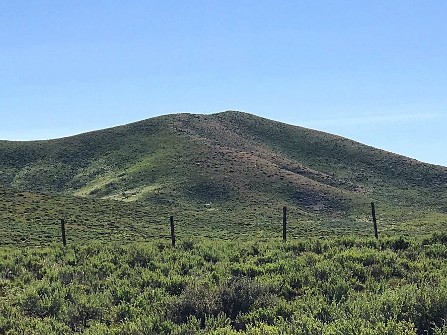
Peak 6270 as viewed from the west.
Access
From the I-84/US-20 Exit, drive 31.9 miles on ID-20 to the junction with the FH-61, the Featherville Highway. Turn north and follow the paved road 4.1 miles to its junction with the High Prairie Road. Turn right. In 400 feet, you will come to a Y-junction. Go left and continue for a total of 0.3 miles. Look for a two-track road on your right. Turn onto the two-track road and follow it for roughly 0.6 miles to a meadow and a fence line. High clearance recommended for this last section.
Western Slopes, Class 2
Pass through the gate in the fence line and continue following the now nearly invisible two-track road west until you reach a small, dammed pond. From this point, the open Western Slopes rise above the pond. There is no right or wrong way; just pick your line and go up.

My GPS track. My route covered 3.1 miles with 787 feet of elevation gain round trip.
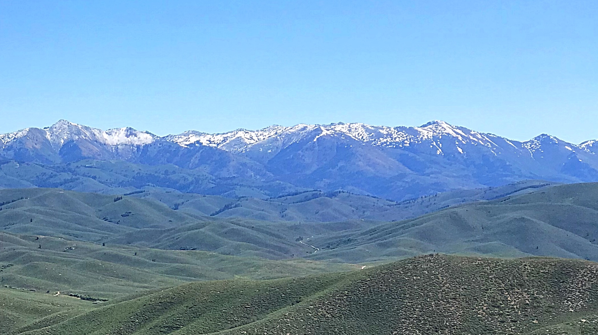
The view of the main Soldier Mountains Crest from Peak 6270.
Additional Resources
Regions: Soldier Mountains->WESTERN IDAHO
Mountain Range: Soldier Mountains
Year Climbed: 2019
Longitude: -115.19719 Latitude: 43.36719